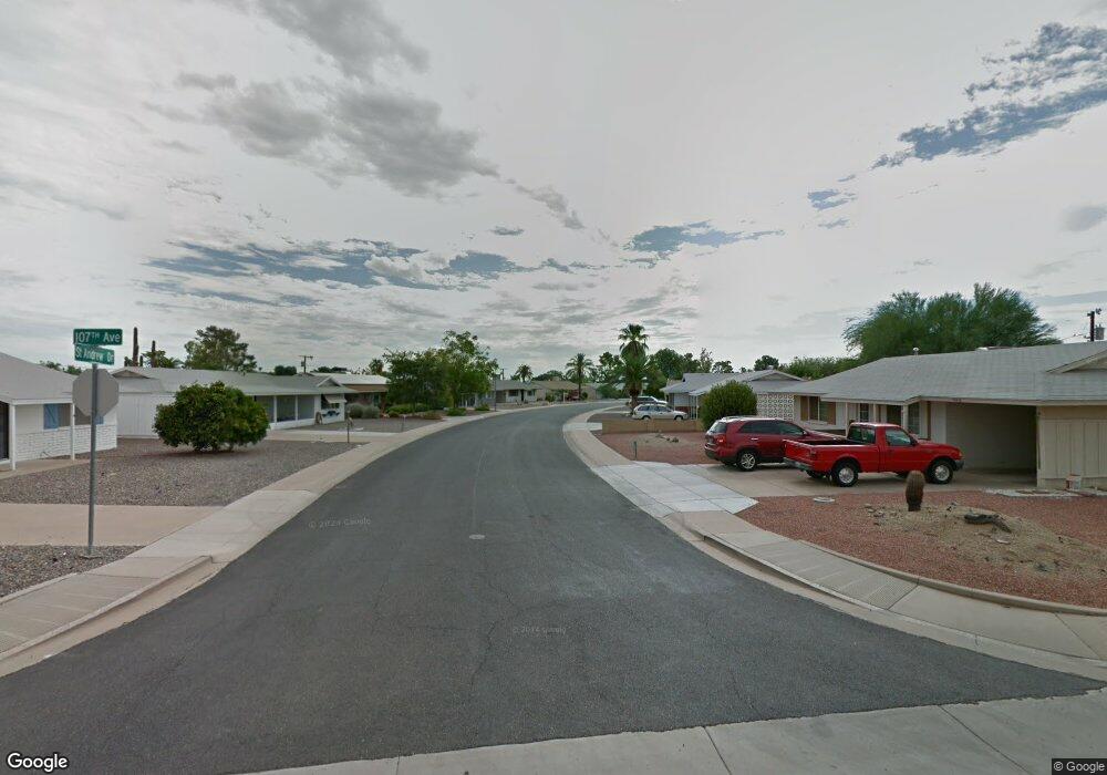
12633 N St Andrew Dr W Sun City, AZ 85351
Estimated Value: $206,000 - $224,000
2
Beds
1
Bath
918
Sq Ft
$236/Sq Ft
Est. Value
About This Home
This home is located at 12633 N St Andrew Dr W, Sun City, AZ 85351 and is currently estimated at $216,289, approximately $235 per square foot. 12633 N St Andrew Dr W is a home located in Maricopa County with nearby schools including Desert Mirage Elementary School and Ombudsman - Northwest Charter.
Ownership History
Date
Name
Owned For
Owner Type
Purchase Details
Closed on
Aug 26, 2016
Sold by
Yellow Star Llc
Bought by
Rovey10 Llc
Current Estimated Value
Purchase Details
Closed on
Apr 23, 2007
Sold by
Boesen Larry
Bought by
Yellow Star Llc
Purchase Details
Closed on
Apr 6, 2007
Sold by
Boesen Larry
Bought by
Yellow Star Llc
Purchase Details
Closed on
Oct 27, 2006
Sold by
Boesen Dixie M
Bought by
Boesen Larry
Purchase Details
Closed on
Jul 25, 2006
Sold by
Novak Rosalie Mary
Bought by
Lobo Land Llc
Create a Home Valuation Report for This Property
The Home Valuation Report is an in-depth analysis detailing your home's value as well as a comparison with similar homes in the area
Home Values in the Area
Average Home Value in this Area
Purchase History
| Date | Buyer | Sale Price | Title Company |
|---|---|---|---|
| Rovey10 Llc | $75,000 | First American Title Ins Co | |
| Yellow Star Llc | -- | None Available | |
| Yellow Star Llc | -- | None Available | |
| Boesen Larry | -- | Lawyers Title Insurance Corp | |
| Boesen Larry | $130,000 | Lawyers Title Insurance Corp | |
| Lobo Land Llc | $108,000 | Lawyers Title Insurance Corp |
Source: Public Records
Tax History Compared to Growth
Tax History
| Year | Tax Paid | Tax Assessment Tax Assessment Total Assessment is a certain percentage of the fair market value that is determined by local assessors to be the total taxable value of land and additions on the property. | Land | Improvement |
|---|---|---|---|---|
| 2025 | $672 | $7,286 | -- | -- |
| 2024 | $611 | $6,939 | -- | -- |
| 2023 | $611 | $15,870 | $3,170 | $12,700 |
| 2022 | $573 | $12,210 | $2,440 | $9,770 |
| 2021 | $585 | $11,280 | $2,250 | $9,030 |
| 2020 | $571 | $9,800 | $1,960 | $7,840 |
| 2019 | $571 | $8,770 | $1,750 | $7,020 |
| 2018 | $553 | $7,610 | $1,520 | $6,090 |
| 2017 | $536 | $6,470 | $1,290 | $5,180 |
| 2016 | $501 | $5,880 | $1,170 | $4,710 |
| 2015 | $473 | $5,050 | $1,010 | $4,040 |
Source: Public Records
Map
Nearby Homes
- 12454 N Cherry Hills Dr E
- 10620 W Oakmont Dr
- 10582 W Oakmont Dr
- 10839 W Oakmont Dr
- 12244 N Saint Andrew Dr E
- 12250 N Cherry Hills Dr E
- 12216 N 107th Ave
- 10547 W Coggins Dr
- 10559 W Coggins Dr
- 10541 W Coggins Dr
- 10638 W Alabama Ave
- 10523 W Coggins Dr
- 12248 N 105th Ave
- 10929 W Oakmont Dr Unit 1
- 10433 W Oakmont Dr
- 10719 W Alabama Ave
- 10544 W Coggins Dr
- 10540 W Coggins Dr Unit 1C
- 10735 W Santa fe Dr
- 12033 N Hillcrest Dr
- 12633 N Saint Andrew Dr W
- 12623 N Saint Andrew Dr W
- 12643 St Andrew Dr
- 12620 N 107th Ave
- 12614 N 107th Ave
- 12630 N Saint Andrew Dr W
- 12619 N Saint Andrew Dr W
- 12636 N Saint Andrew Dr W
- 12624 N Saint Andrew Dr W
- 12640 N Saint Andrew Dr W Unit 1
- 12648 N 107th Ave
- 12646 Saint Andrew Dr Unit 316
- 12646 Saint Andrew Dr
- 12606 N 107th Ave
- 12618 N Saint Andrew Dr W
- 12613 N Saint Andrew Dr W
- 12602 N 107th Ave
- 12614 N Saint Andrew Dr W
- 12438 W Cherry Hills Dr
- 12601 N Saint Andrews Dr