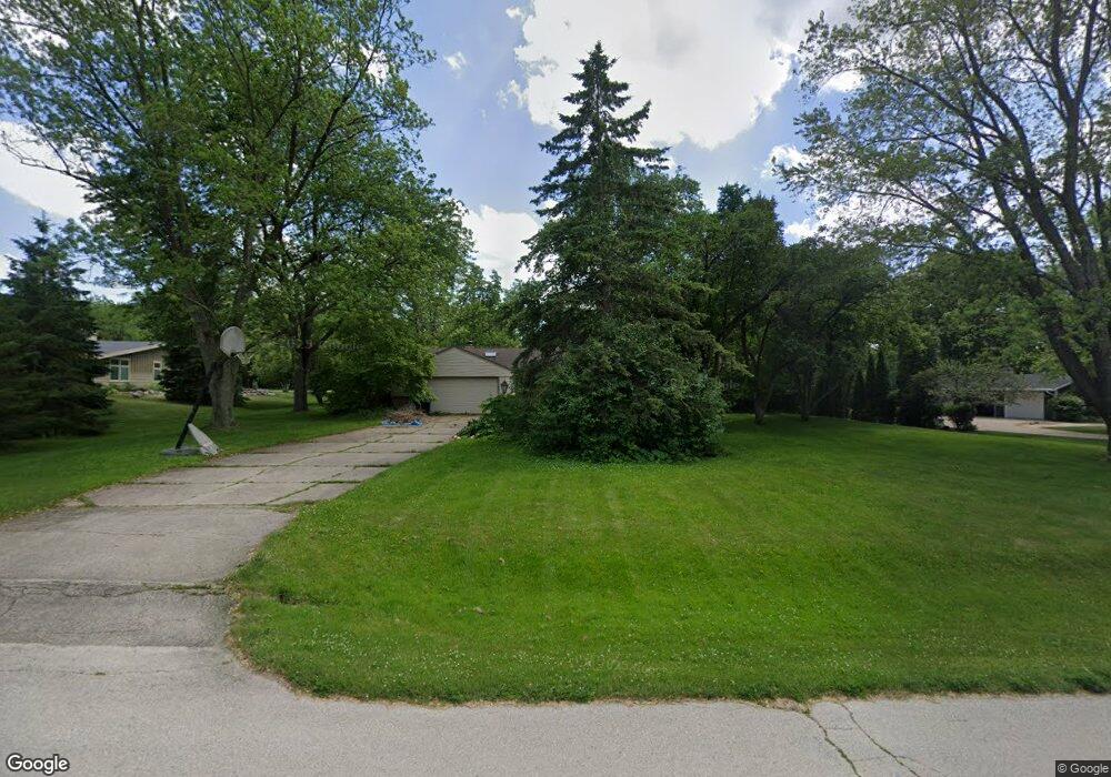
12635 Dunwoody Dr Elm Grove, WI 53122
Estimated Value: $582,000 - $710,000
4
Beds
2
Baths
2,522
Sq Ft
$253/Sq Ft
Est. Value
About This Home
This home is located at 12635 Dunwoody Dr, Elm Grove, WI 53122 and is currently estimated at $638,686, approximately $253 per square foot. 12635 Dunwoody Dr is a home located in Waukesha County with nearby schools including Tonawanda Elementary School, Pilgrim Park Middle School, and Brookfield East High School.
Ownership History
Date
Name
Owned For
Owner Type
Purchase Details
Closed on
Sep 8, 2004
Sold by
Rafalow Mark and Rafalow Patricia E
Bought by
Storch Samuel A and Storch Boris Nicole
Current Estimated Value
Home Financials for this Owner
Home Financials are based on the most recent Mortgage that was taken out on this home.
Original Mortgage
$238,600
Outstanding Balance
$115,199
Interest Rate
5.5%
Mortgage Type
Purchase Money Mortgage
Estimated Equity
$523,487
Create a Home Valuation Report for This Property
The Home Valuation Report is an in-depth analysis detailing your home's value as well as a comparison with similar homes in the area
Home Values in the Area
Average Home Value in this Area
Purchase History
| Date | Buyer | Sale Price | Title Company |
|---|---|---|---|
| Storch Samuel A | $340,900 | -- |
Source: Public Records
Mortgage History
| Date | Status | Borrower | Loan Amount |
|---|---|---|---|
| Open | Storch Samuel A | $238,600 |
Source: Public Records
Tax History Compared to Growth
Tax History
| Year | Tax Paid | Tax Assessment Tax Assessment Total Assessment is a certain percentage of the fair market value that is determined by local assessors to be the total taxable value of land and additions on the property. | Land | Improvement |
|---|---|---|---|---|
| 2024 | $5,701 | $408,300 | $147,300 | $261,000 |
| 2023 | $5,413 | $356,900 | $134,300 | $222,600 |
| 2022 | $5,664 | $356,900 | $134,300 | $222,600 |
| 2021 | $5,833 | $330,000 | $134,300 | $195,700 |
| 2020 | $5,986 | $330,000 | $134,300 | $195,700 |
| 2019 | $6,037 | $319,400 | $129,300 | $190,100 |
| 2018 | $5,741 | $319,400 | $129,300 | $190,100 |
| 2017 | $6,315 | $329,000 | $121,000 | $208,000 |
| 2016 | $6,259 | $329,000 | $121,000 | $208,000 |
| 2015 | $6,226 | $329,000 | $121,000 | $208,000 |
| 2014 | $6,210 | $373,200 | $139,200 | $234,000 |
| 2013 | $6,210 | $335,400 | $128,100 | $207,300 |
Source: Public Records
Map
Nearby Homes
- 1920 Fairhaven Blvd
- 12675 W North Ave
- 1660 Lindhurst Ct
- 1239 N 122nd St
- 12855 Stephen Place
- 13130 Watertown Plank Rd Unit 312
- 1409 N 116th St
- 12455 W Center St
- 11722 W Diane Dr
- 14220 Hillside Rd
- 2808 N Park Dr
- 13145 Kittridge Ct
- 2925 N 124th St
- 2415 Walnut Grove Ct Unit B
- 2925 N 120th St
- 13050 W Bluemound Rd Unit 303
- 14625 Club Dr
- 12990 W Bluemound Rd Unit 205
- 13485 Braemar Dr
- 744 N 115th St
- 12605 Dunwoody Dr
- 12705 Dunwoody Dr
- 12650 Gremoor Dr
- 12650 Dunwoody Dr
- 12700 Gremoor Dr
- 12600 Gremoor Dr
- 12700 Dunwoody Dr
- 1840 Fairhaven Blvd
- 1905 Fairfax Dr
- 12755 Dunwoody Dr
- 1850 Fairfax Dr
- 12730 Dunwoody Dr
- 1820 Fairhaven Blvd
- 12750 Dunwoody Dr
- 1800 Fairfax Dr
- 1800 Fairhaven Blvd
- 1900 Fairfax Dr
- 12515 Dunwoody Dr
- 12635 Wrayburn Rd
- 12655 Wrayburn Rd