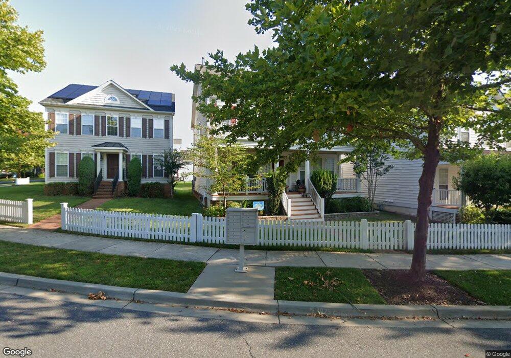
12636 Blue Sky Dr Clarksburg, MD 20871
Estimated Value: $731,670 - $776,000
--
Bed
3
Baths
2,758
Sq Ft
$271/Sq Ft
Est. Value
About This Home
This home is located at 12636 Blue Sky Dr, Clarksburg, MD 20871 and is currently estimated at $747,668, approximately $271 per square foot. 12636 Blue Sky Dr is a home located in Montgomery County with nearby schools including Wilson Wims Elementary School, Hallie Wells Middle School, and Clarksburg High.
Ownership History
Date
Name
Owned For
Owner Type
Purchase Details
Closed on
Sep 28, 2011
Sold by
Dhillon Manpreet Singh and Dhillon Jasneet
Bought by
Singh Mattu Manpreet and Dhillon Mattu Janeet
Current Estimated Value
Home Financials for this Owner
Home Financials are based on the most recent Mortgage that was taken out on this home.
Original Mortgage
$411,300
Interest Rate
4.25%
Mortgage Type
Stand Alone Second
Create a Home Valuation Report for This Property
The Home Valuation Report is an in-depth analysis detailing your home's value as well as a comparison with similar homes in the area
Home Values in the Area
Average Home Value in this Area
Purchase History
| Date | Buyer | Sale Price | Title Company |
|---|---|---|---|
| Singh Mattu Manpreet | -- | Entitle Direct |
Source: Public Records
Mortgage History
| Date | Status | Borrower | Loan Amount |
|---|---|---|---|
| Closed | Singh Mattu Manpreet | $411,300 |
Source: Public Records
Tax History Compared to Growth
Tax History
| Year | Tax Paid | Tax Assessment Tax Assessment Total Assessment is a certain percentage of the fair market value that is determined by local assessors to be the total taxable value of land and additions on the property. | Land | Improvement |
|---|---|---|---|---|
| 2025 | $7,071 | $616,567 | -- | -- |
| 2024 | $7,071 | $575,400 | $145,500 | $429,900 |
| 2023 | $6,139 | $556,467 | $0 | $0 |
| 2022 | $5,647 | $537,533 | $0 | $0 |
| 2021 | $5,357 | $518,600 | $145,500 | $373,100 |
| 2020 | $5,357 | $518,367 | $0 | $0 |
| 2019 | $5,339 | $518,133 | $0 | $0 |
| 2018 | $5,339 | $517,900 | $145,500 | $372,400 |
| 2017 | $5,137 | $490,633 | $0 | $0 |
| 2016 | -- | $463,367 | $0 | $0 |
| 2015 | $4,108 | $436,100 | $0 | $0 |
| 2014 | $4,108 | $431,267 | $0 | $0 |
Source: Public Records
Map
Nearby Homes
- 23059 Winged Elm Dr
- 12344 Cherry Branch Dr
- 22931 Townsend Trail
- 12318 Cherry Branch Dr
- 12313 Cherry Branch Dr
- 22327 Cabin Branch Ave
- 23105 Roberts Tavern Dr
- 23328 Brewers Tavern Way
- 22649 Majestic Elm Ct
- 12815 Moneyworth Way
- 12340 Juniper Blossom Place
- 12336 Juniper Blossom Place
- 22533 Phillips St Unit 1501
- 711 Weald Way
- 22834 Arora Hills Dr Unit 120
- 22608 Sweetspire Dr
- 22504 Phillips St Unit 503
- 22926 Spicebush Dr Unit 1632
- 13126 Clarksburg Square Rd
- 12809 Fox Fern Ln
- 12638 Blue Sky Dr
- 12634 Blue Sky Dr
- 12640 Blue Sky Dr
- 12632 Blue Sky Dr
- 23102 Turtle Rock Terrace
- 12630 Blue Sky Dr
- 12642 Blue Sky Dr
- 23104 Turtle Rock Terrace
- 12637 Blue Sky Dr
- 12635 Blue Sky Dr
- 12628 Blue Sky Dr
- 23106 Turtle Rock Terrace
- 12639 Blue Sky Dr
- 0 Turtle Rock Terrace Unit MC7355061
- 0 Turtle Rock Terrace Unit 1004960878
- 0 Turtle Rock Terrace Unit 1009129914
- 23108 Turtle Rock Terrace
- 12626 Blue Sky Dr
- 12641 Blue Sky Dr
- 23105 Turtle Rock Terrace