12638 Carter Powell Rd West Fork, AR 72774
Estimated Value: $386,000 - $480,000
4
Beds
2
Baths
1,700
Sq Ft
$255/Sq Ft
Est. Value
About This Home
This home is located at 12638 Carter Powell Rd, West Fork, AR 72774 and is currently estimated at $433,000, approximately $254 per square foot. 12638 Carter Powell Rd is a home located in Washington County with nearby schools including Greenland Middle School, Greenland Elementary School, and Greenland High School.
Ownership History
Date
Name
Owned For
Owner Type
Purchase Details
Closed on
Jan 12, 1996
Bought by
Proffitt Emmett A and Proffitt Frances B
Current Estimated Value
Purchase Details
Closed on
Feb 2, 1995
Bought by
Proffitt Emmett A and Proffitt Frances
Purchase Details
Closed on
Jan 1, 1985
Bought by
Carter-Powell Inc
Create a Home Valuation Report for This Property
The Home Valuation Report is an in-depth analysis detailing your home's value as well as a comparison with similar homes in the area
Home Values in the Area
Average Home Value in this Area
Purchase History
| Date | Buyer | Sale Price | Title Company |
|---|---|---|---|
| Proffitt Emmett A | -- | -- | |
| Proffitt Emmett A | $450,000 | -- | |
| Carter-Powell Inc | -- | -- |
Source: Public Records
Tax History Compared to Growth
Tax History
| Year | Tax Paid | Tax Assessment Tax Assessment Total Assessment is a certain percentage of the fair market value that is determined by local assessors to be the total taxable value of land and additions on the property. | Land | Improvement |
|---|---|---|---|---|
| 2025 | $2,633 | $65,610 | $7,340 | $58,270 |
| 2024 | $2,430 | $65,610 | $7,340 | $58,270 |
| 2023 | $2,257 | $65,610 | $7,340 | $58,270 |
| 2022 | $2,112 | $44,610 | $5,830 | $38,780 |
| 2021 | $2,112 | $44,610 | $5,830 | $38,780 |
| 2020 | $1,905 | $43,220 | $5,830 | $37,390 |
| 2019 | $1,737 | $36,460 | $5,150 | $31,310 |
| 2018 | $1,737 | $36,460 | $5,150 | $31,310 |
| 2017 | $1,659 | $36,460 | $5,150 | $31,310 |
| 2016 | $2,402 | $50,380 | $5,150 | $45,230 |
| 2015 | $2,302 | $50,380 | $5,150 | $45,230 |
| 2014 | $1,797 | $46,970 | $4,530 | $42,440 |
Source: Public Records
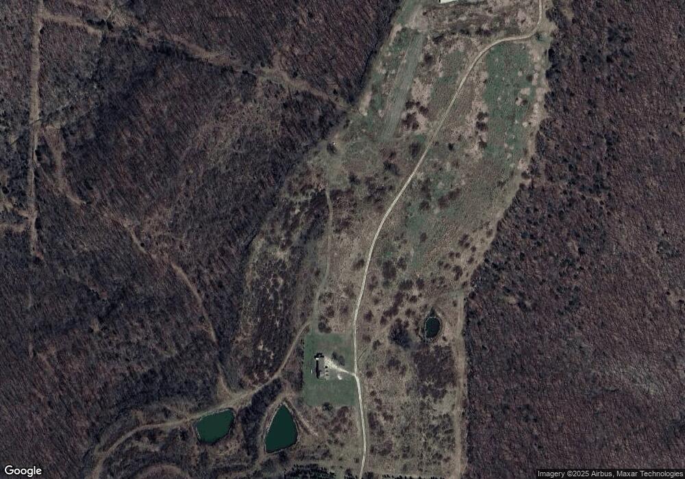
Map
Nearby Homes
- 14161 Low Gap Rd
- 163 Acres Low Gap Rd
- 14159 Low Gap Wc 100 Rd
- 15500 Low Gap Rd
- 14163 Low Gap Rd
- 14206 Parker Branch Rd
- 14605 Mineral Springs Rd
- 12812 Parker Branch Rd
- 13608 Sugar Mountain Rd
- TBD Truelove Rd
- 14642 Truelove Rd
- 14416 & 14425 Truelove Rd
- TBD 7.49 Acres Slaty Gap Rd
- TBD 11 Acres Slaty Gap Rd
- 14790 Slaty Gap Rd
- 0 Trace Branch Rd Unit 1293042
- 14211 Sugar Mountain Rd
- 13590 Sugar Mountain Rd
- 11724 Brubaker Rd
- 12730 & 12932 Mineral Springs Wc 30
- 0 Carter Powell (Cnty 4144) Rd Unit 589045
- 12744 Wc 4144
- 12610 Carter Powell Rd
- 12631 Carter Powell Rd
- 14309 Mineral Springs Rd
- 12744 Carter Powell Rd
- 14144 (60A) Low Gap Rd
- 0 Carter Powell Rd Unit 401505
- 0 Carter Powell Rd Unit 594393
- 0 Carter Powell Rd Unit 595677
- 0 Carter Powell Rd Unit 596631
- 0 Carter Powell Rd Unit 599739
- 0 Carter Powell Rd Unit 599744
- 0 Carter Powell Rd Unit 599746
- 0 Carter Powell Rd Unit 627236
- 0 Carter Powell Rd Unit 658374
- 0 Carter Powell Rd Unit 658391
- 14662 Low Gap Rd
- O Lo Gap Cr 100
- 25 Ac Low Gap Rd