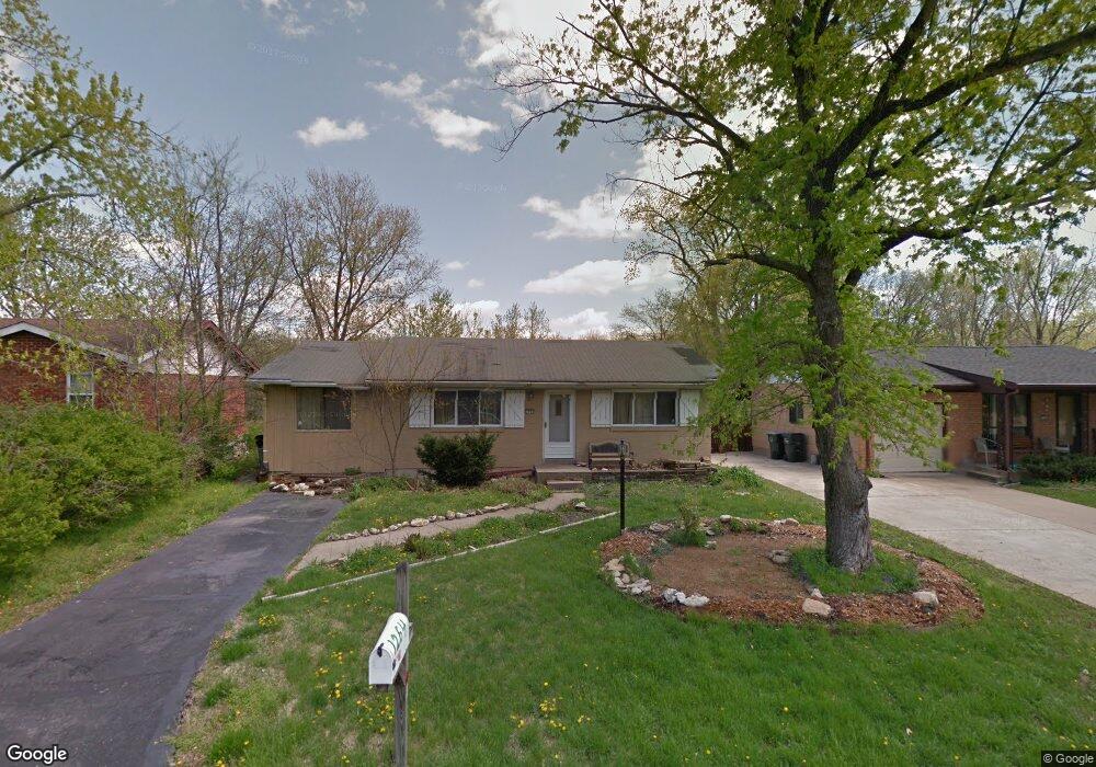
1264 Ballast Point Dr Arnold, MO 63010
Estimated Value: $214,405 - $231,000
About This Home
This home is located at 1264 Ballast Point Dr, Arnold, MO 63010 and is currently estimated at $222,851, approximately $215 per square foot. 1264 Ballast Point Dr is a home located in Jefferson County with nearby schools including Rockport Heights Elementary School, Fox Middle School, and Fox Senior High School.
Ownership History
We collect this data history from publicly available records. To have your information removed, we recommend requesting removal directly through your county’s website.
Purchase Details
Home Financials for this Owner
Home Financials are based on the most recent Mortgage that was taken out on this home.Home Values in the Area
Average Home Value in this Area
Purchase History
We collect this data history from publicly available records. To have your information removed, we recommend requesting removal directly through your county’s website.
| Date | Buyer | Sale Price | Title Company |
|---|---|---|---|
| -- | -- |
Mortgage History
We collect this data history from publicly available records. To have your information removed, we recommend requesting removal directly through your county’s website.
| Date | Status | Borrower | Loan Amount |
|---|---|---|---|
| Open | $129,970 |
Tax History
We collect this data history from publicly available records. To have your information removed, we recommend requesting removal directly through your county’s website.
| Year | Tax Paid | Tax Assessment Tax Assessment Total Assessment is a certain percentage of the fair market value that is determined by local assessors to be the total taxable value of land and additions on the property. | Land | Improvement |
|---|---|---|---|---|
| 2025 | $1,063 | $16,400 | $2,700 | $13,700 |
| 2024 | $1,063 | $15,200 | $2,700 | $12,500 |
| 2023 | $1,063 | $15,200 | $2,700 | $12,500 |
| 2022 | $1,062 | $14,900 | $2,700 | $12,200 |
| 2021 | $1,063 | $14,900 | $2,700 | $12,200 |
| 2020 | $1,000 | $13,300 | $2,300 | $11,000 |
| 2019 | $1,003 | $13,300 | $2,300 | $11,000 |
| 2018 | $997 | $13,300 | $2,300 | $11,000 |
| 2017 | $1,012 | $13,300 | $2,300 | $11,000 |
| 2016 | $866 | $12,200 | $2,500 | $9,700 |
| 2015 | $868 | $12,200 | $2,500 | $9,700 |
| 2013 | -- | $12,000 | $2,500 | $9,500 |
Map
- 3335 Boca Raton Dr
- 3342 Boca Raton Dr
- 3248 Biscayne Blvd
- 3425 Green Forest Ct
- 656 Rockwood Dr
- 7600 Fine Rd
- Lot 2 Baeumners Second Subdivision
- 170 Bogey Blvd
- 2817 Pomme Meadows Dr
- 7928 Pinetop Dr
- 7474 Shadow Point Dr
- 4091 Brook Ridge Dr
- 1408 Appleton Ct
- 3533 Swan Cir S
- 2743 Pomme Meadows Dr
- 4265 Lorien Trail
- 0 Unknown Unit 22001740
- 0 Unknown Unit 22071117
- 0 Unknown Unit 22001730
- 0 Unknown Unit 21017758
- 1256 Ballast Point Dr
- 1254 Ballast Point Dr
- 1258 Ballast Point Dr
- 1248 Ballast Point Dr
- 1260 Ballast Point Dr
- 1251 Ballast Point Dr
- 1247 Ballast Point Dr
- 1244 Ballast Point Dr
- 1255 Ballast Point Dr
- 1243 Ballast Point Dr
- 1259 Ballast Point Dr
- 1240 Ballast Point Dr
- 1239 Ballast Point Dr
- 1261 Ballast Point Dr
- 1266 Ballast Point Dr
- 1248 Bal Harbor Dr
- 1252 Bal Harbor Dr
- 1256 Bal Harbor Dr
- 3372 Bayvue Blvd
- 1235 Ballast Point Dr
Ask me questions while you tour the home.