1264 Brown Rd Spring Grove, PA 17362
Estimated Value: $361,000 - $539,182
3
Beds
2
Baths
1,856
Sq Ft
$234/Sq Ft
Est. Value
About This Home
This home is located at 1264 Brown Rd, Spring Grove, PA 17362 and is currently estimated at $434,394, approximately $234 per square foot. 1264 Brown Rd is a home located in York County with nearby schools including Spring Grove Area Middle School and Spring Grove Area High School.
Ownership History
Date
Name
Owned For
Owner Type
Purchase Details
Closed on
Jun 23, 2023
Sold by
Brown Arthur A and Brown Jennifer L
Bought by
Brown Arthur and Brown Nya N
Current Estimated Value
Home Financials for this Owner
Home Financials are based on the most recent Mortgage that was taken out on this home.
Original Mortgage
$266,500
Outstanding Balance
$260,268
Interest Rate
6.67%
Estimated Equity
$174,126
Purchase Details
Closed on
Apr 4, 2017
Sold by
Brown Arthur A and Brown Jennifer L
Bought by
Brown Arthur A and Brown Jennifer L
Purchase Details
Closed on
Mar 29, 2017
Sold by
Brown Barry A and Brown Carol A
Bought by
Brown Arthur A and Brown Jennifer L
Create a Home Valuation Report for This Property
The Home Valuation Report is an in-depth analysis detailing your home's value as well as a comparison with similar homes in the area
Home Values in the Area
Average Home Value in this Area
Purchase History
| Date | Buyer | Sale Price | Title Company |
|---|---|---|---|
| Brown Arthur | -- | None Listed On Document | |
| Brown Arthur A | -- | None Available | |
| Brown Arthur A | -- | None Available |
Source: Public Records
Mortgage History
| Date | Status | Borrower | Loan Amount |
|---|---|---|---|
| Open | Brown Arthur | $266,500 | |
| Previous Owner | Brown Arthur | $266,500 |
Source: Public Records
Tax History Compared to Growth
Tax History
| Year | Tax Paid | Tax Assessment Tax Assessment Total Assessment is a certain percentage of the fair market value that is determined by local assessors to be the total taxable value of land and additions on the property. | Land | Improvement |
|---|---|---|---|---|
| 2025 | $6,217 | $186,400 | $20,100 | $166,300 |
| 2024 | $6,150 | $186,400 | $20,100 | $166,300 |
| 2023 | $6,150 | $186,400 | $20,100 | $166,300 |
| 2022 | $6,150 | $186,400 | $20,100 | $166,300 |
| 2021 | $5,884 | $186,400 | $20,100 | $166,300 |
| 2020 | $5,884 | $186,400 | $20,100 | $166,300 |
| 2019 | $5,842 | $186,400 | $20,100 | $166,300 |
| 2018 | $5,765 | $186,400 | $20,100 | $166,300 |
| 2017 | $5,240 | $173,360 | $12,910 | $160,450 |
| 2016 | $0 | $173,360 | $12,910 | $160,450 |
| 2015 | -- | $172,210 | $11,760 | $160,450 |
| 2014 | -- | $171,250 | $10,800 | $160,450 |
Source: Public Records
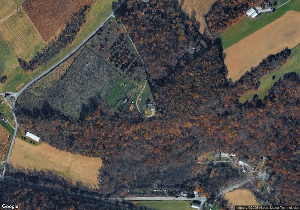
Map
Nearby Homes
- 5497 Stambaugh Rd
- 6306 Liam Dr
- 6309 Liam Dr
- 6313 Liam Dr
- 6319 Liam Dr
- 6314 Liam Dr
- 6325 Liam Dr
- 1063 Porters Rd
- 0 Sassafras Plan at Hills at Valley View Unit PAYK2082018
- 6324 Liam
- 0 Sugar Maple Plan at Hills at Valley View Unit PAYK2082020
- 0 Pin Oak 5br Plan at Hills at Valley View Unit PAYK2087614
- 0 White Oak Plan at Hills at Valley View Unit PAYK2082080
- 0 Sweet Birch Plan at Hills at Valley View Unit PAYK2082022
- 0 Emily Plan at Hills at Valley View Unit PAYK2082076
- 0 Pin Oak Plan at Hills at Valley View Unit PAYK2082014
- Emily Plan at Hills at Valley View
- Pin Oak Plan at Hills at Valley View
- Black Cherry Plan at Hills at Valley View
- Sassafras Plan at Hills at Valley View
- 1230 Brown Rd
- 1499 Porters Rd
- 1246 Brown Rd
- 5947 Bungalow Rd
- 1232 Brown Rd
- 6033 Hoff Rd
- 6025 Hoff Rd
- 5678 Waltersdorff Rd
- 6049 Hoff Rd
- 5979 Harmony Ln
- 6047 Hoff Rd
- 5686 Waltersdorff Rd
- 5285 Peace Ln
- 5680 Waltersdorff Rd
- 5981 Harmony Ln
- 5906 Bungalow Rd
- 5660 Waltersdorff Rd
- 5791 Bungalow Rd
- 5650 Waltersdorff Rd