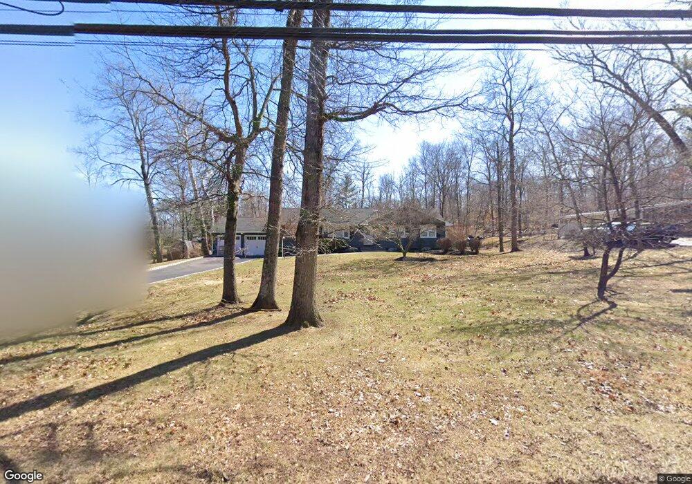
1264 Crim Rd Bridgewater, NJ 08807
Estimated Value: $725,124 - $862,000
--
Bed
--
Bath
1,674
Sq Ft
$464/Sq Ft
Est. Value
About This Home
This home is located at 1264 Crim Rd, Bridgewater, NJ 08807 and is currently estimated at $776,281, approximately $463 per square foot. 1264 Crim Rd is a home located in Somerset County with nearby schools including Crim Primary School, Bridgewater-Raritan Middle School, and Hillside Intermediate School.
Ownership History
Date
Name
Owned For
Owner Type
Purchase Details
Closed on
Apr 7, 2005
Sold by
Hayser Michael
Bought by
Johnson Richard A and Johnson Catherine A
Current Estimated Value
Home Financials for this Owner
Home Financials are based on the most recent Mortgage that was taken out on this home.
Original Mortgage
$125,000
Outstanding Balance
$94,392
Interest Rate
5.95%
Mortgage Type
Future Advance Clause Open End Mortgage
Estimated Equity
$681,889
Purchase Details
Closed on
Jun 14, 2000
Sold by
Merz Narman
Bought by
Hayser Michael and Hayser Linda
Home Financials for this Owner
Home Financials are based on the most recent Mortgage that was taken out on this home.
Original Mortgage
$252,000
Interest Rate
8.48%
Create a Home Valuation Report for This Property
The Home Valuation Report is an in-depth analysis detailing your home's value as well as a comparison with similar homes in the area
Home Values in the Area
Average Home Value in this Area
Purchase History
| Date | Buyer | Sale Price | Title Company |
|---|---|---|---|
| Johnson Richard A | $537,000 | -- | |
| Johnson Richard A | $537,000 | None Available | |
| Hayser Michael | $315,000 | -- |
Source: Public Records
Mortgage History
| Date | Status | Borrower | Loan Amount |
|---|---|---|---|
| Open | Johnson Richard A | $125,000 | |
| Open | Johnson Richard A | $289,900 | |
| Previous Owner | Hayser Michael | $252,000 |
Source: Public Records
Tax History Compared to Growth
Tax History
| Year | Tax Paid | Tax Assessment Tax Assessment Total Assessment is a certain percentage of the fair market value that is determined by local assessors to be the total taxable value of land and additions on the property. | Land | Improvement |
|---|---|---|---|---|
| 2025 | $12,216 | $656,300 | $286,200 | $370,100 |
| 2024 | $12,216 | $627,100 | $286,200 | $340,900 |
| 2023 | $11,087 | $558,800 | $286,200 | $272,600 |
| 2022 | $10,273 | $498,200 | $286,200 | $212,000 |
| 2021 | $10,181 | $483,200 | $286,200 | $197,000 |
| 2020 | $10,105 | $480,500 | $286,200 | $194,300 |
| 2019 | $10,116 | $476,500 | $286,200 | $190,300 |
| 2018 | $10,008 | $472,500 | $286,200 | $186,300 |
| 2017 | $9,529 | $449,500 | $286,200 | $163,300 |
| 2016 | $9,160 | $438,700 | $286,200 | $152,500 |
| 2015 | $9,137 | $437,800 | $286,200 | $151,600 |
| 2014 | $8,982 | $423,900 | $286,200 | $137,700 |
Source: Public Records
Map
Nearby Homes
- 20 Linvale Ln
- 1173 Sherlin Dr
- 7 Meyers Way
- 1600 Mountain Top Rd
- 1404 Drum Hill Rd
- 1930 Mountain Top Rd
- 114 Branch Rd
- 1266 Mount Vernon Rd
- 1833 Mountain Top Rd
- 96 Darren Dr
- 1831 Washington Valley Rd
- 1 Wishnow Way
- 22 Glenwood Terrace
- 61 Stella Dr
- 1360 Washington Valley Rd
- 499 Foothill Rd
- 13 Lawton Rd
- 10 Assante Ln
- 20 Copper Hill Rd
- 63 Twin Oaks Rd