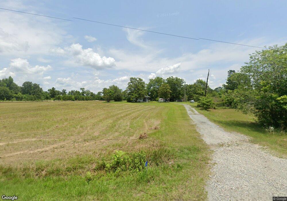
1264 Hill Brown Rd Jeffersonville, GA 31044
Estimated Value: $73,405 - $172,000
--
Bed
1
Bath
1,192
Sq Ft
$109/Sq Ft
Est. Value
About This Home
This home is located at 1264 Hill Brown Rd, Jeffersonville, GA 31044 and is currently estimated at $130,135, approximately $109 per square foot. 1264 Hill Brown Rd is a home located in Twiggs County with nearby schools including Jeffersonville Elementary School, Twiggs Middle School, and Twiggs County High School.
Ownership History
Date
Name
Owned For
Owner Type
Purchase Details
Closed on
Mar 31, 2005
Sold by
Brown Marvin E
Bought by
Brown Susie M
Current Estimated Value
Purchase Details
Closed on
Mar 11, 2005
Sold by
Brown Carl
Bought by
Brown Susie M
Purchase Details
Closed on
Dec 7, 2004
Sold by
Hannah April
Bought by
Branch Banking & Trust Co
Purchase Details
Closed on
Mar 25, 1980
Bought by
Brown Marvin
Create a Home Valuation Report for This Property
The Home Valuation Report is an in-depth analysis detailing your home's value as well as a comparison with similar homes in the area
Home Values in the Area
Average Home Value in this Area
Purchase History
| Date | Buyer | Sale Price | Title Company |
|---|---|---|---|
| Brown Susie M | -- | -- | |
| Brown Susie M | -- | -- | |
| Brown Susie | -- | -- | |
| Branch Banking & Trust Co | -- | -- | |
| Brown Marvin | -- | -- |
Source: Public Records
Tax History Compared to Growth
Tax History
| Year | Tax Paid | Tax Assessment Tax Assessment Total Assessment is a certain percentage of the fair market value that is determined by local assessors to be the total taxable value of land and additions on the property. | Land | Improvement |
|---|---|---|---|---|
| 2024 | -- | $16,263 | $6,733 | $9,530 |
| 2023 | $0 | $16,263 | $6,733 | $9,530 |
| 2022 | $588 | $16,263 | $6,733 | $9,530 |
| 2021 | $589 | $16,263 | $6,733 | $9,530 |
| 2020 | $589 | $16,263 | $6,733 | $9,530 |
| 2019 | $589 | $16,263 | $6,733 | $9,530 |
| 2018 | $540 | $16,263 | $6,733 | $9,530 |
| 2017 | $540 | $16,263 | $6,733 | $9,530 |
| 2016 | $0 | $9,530 | $0 | $9,530 |
| 2015 | -- | $16,263 | $6,733 | $9,530 |
| 2014 | -- | $16,263 | $6,733 | $9,530 |
| 2013 | -- | $17,832 | $6,732 | $11,099 |
Source: Public Records
Map
Nearby Homes
- 477 Maulk Thompson Rd
- 0 Mud Boggin Rd Unit 10408916
- 742 Carry Rd
- 742 Cary Rd
- 1533 District Rd
- 20734 U S 80
- 0 Riggins Mills Rd Unit 179911
- 217 Rainbow Rd
- 983 Main St
- 278 State Route 96
- 102 Morningside Dr
- 2382 Gallimore Mill Rd
- 522 Main St
- 00 Ac Ct
- 0 Georgia 18
- 238 Nobles Rd
- 32 Second St
- 434 N Main St
- 309 Walnut St
- 201 N 2nd St
- 1464 Hill Brown Rd
- 1494 Hill Brown Rd
- 1528 Hill Brown Rd
- 1534 Hill Brown Rd
- 1642 Hill Brown Rd
- 1624 Hill Brown Rd
- 909 Hill And Dale Dr
- 1589 Hill Brown Rd
- 758 Pope Raley Rd
- 1372 Hill And Dale Dr
- 1272 Hill And Dale Dr
- 1508 Hill And Dale Dr
- 293 Winding Way Dr
- 1571 Hill And Dale Dr
- 348 Pope Raley Rd
- 124 Winding Way Dr
- 1504 Hamlin Floyd Rd
- 1621 Hill And Dale Dr
- 91 Winding Way Dr
- 863 Maulk Thompson Rd