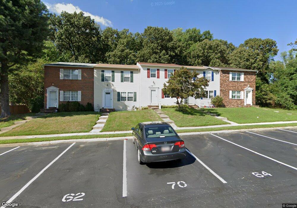
1264 Holmespun Dr Pasadena, MD 21122
Estimated Value: $296,960 - $351,000
3
Beds
3
Baths
1,280
Sq Ft
$260/Sq Ft
Est. Value
About This Home
This home is located at 1264 Holmespun Dr, Pasadena, MD 21122 and is currently estimated at $333,240, approximately $260 per square foot. 1264 Holmespun Dr is a home located in Anne Arundel County with nearby schools including High Point Elementary School, Northeast Middle School, and Northeast High School.
Ownership History
Date
Name
Owned For
Owner Type
Purchase Details
Closed on
Aug 26, 2009
Sold by
Ventures Llc
Bought by
Barnabae Monica M
Current Estimated Value
Purchase Details
Closed on
Mar 16, 2005
Sold by
Barnabae Harry I
Bought by
Ventures Llc
Purchase Details
Closed on
Sep 22, 2004
Sold by
Leroux Wayne L
Bought by
Barnabae Harry I
Purchase Details
Closed on
Jun 8, 2000
Sold by
Entstrasser John J
Bought by
Leroux Wayne L and Arrington Patty E
Create a Home Valuation Report for This Property
The Home Valuation Report is an in-depth analysis detailing your home's value as well as a comparison with similar homes in the area
Home Values in the Area
Average Home Value in this Area
Purchase History
| Date | Buyer | Sale Price | Title Company |
|---|---|---|---|
| Barnabae Monica M | -- | -- | |
| Ventures Llc | -- | -- | |
| Barnabae Harry I | $205,000 | -- | |
| Leroux Wayne L | $105,000 | -- |
Source: Public Records
Mortgage History
| Date | Status | Borrower | Loan Amount |
|---|---|---|---|
| Closed | Leroux Wayne L | -- |
Source: Public Records
Tax History
| Year | Tax Paid | Tax Assessment Tax Assessment Total Assessment is a certain percentage of the fair market value that is determined by local assessors to be the total taxable value of land and additions on the property. | Land | Improvement |
|---|---|---|---|---|
| 2025 | $3,039 | $246,733 | -- | -- |
| 2024 | $3,039 | $237,000 | $115,000 | $122,000 |
| 2023 | $2,912 | $228,467 | $0 | $0 |
| 2022 | $2,675 | $219,933 | $0 | $0 |
| 2020 | $2,538 | $210,733 | $0 | $0 |
| 2019 | $2,533 | $210,067 | $0 | $0 |
| 2018 | $2,123 | $209,400 | $95,000 | $114,400 |
| 2017 | $2,342 | $197,300 | $0 | $0 |
| 2016 | -- | $185,200 | $0 | $0 |
| 2015 | -- | $173,100 | $0 | $0 |
| 2014 | -- | $173,100 | $0 | $0 |
Source: Public Records
Map
Nearby Homes
- 8649 Cobscook Harbour
- 1042 Cape Splitt Harbour
- 7722 Vena Ct
- 1217 Valley Rd
- 1056 Saybrook Harbour
- 961 Mount Desert Harbour
- 1202 Hillcreek Rd
- 7662 Pine Haven Dr
- 7665 Cedar Dr
- 7686 Briar Ln
- 969 10th St
- 7818 Renshaw Rd
- 7715 Woodlawn Ave
- 7713 Woodlawn Ave
- 941 8th St
- 8561 Kim Marie Ct
- 128 Cottage Grove Dr
- 852 Riverside Dr
- 8556 Kim Marie Ct
- 7913 Kings Bench Place
- 1266 Holmespun Dr
- 1262 Holmespun Dr
- 1268 Holmespun Dr
- 1260 Holmespun Dr
- 1258 Holmespun Dr
- 1256 Holmespun Dr
- 1270 Holmespun Dr
- 1254 Holmespun Dr
- 1272 Holmespun Dr
- 1274 Holmespun Dr
- 1252 Holmespun Dr
- 1276 Holmespun Dr
- 1284 Holmespun Dr
- 1282 Holmespun Dr
- 1286 Holmespun Dr
- 1280 Holmespun Dr
- 1278 Holmespun Dr
- 1288 Holmespun Dr
- 1250 Holmespun Dr
- 1290 Holmespun Dr
Your Personal Tour Guide
Ask me questions while you tour the home.