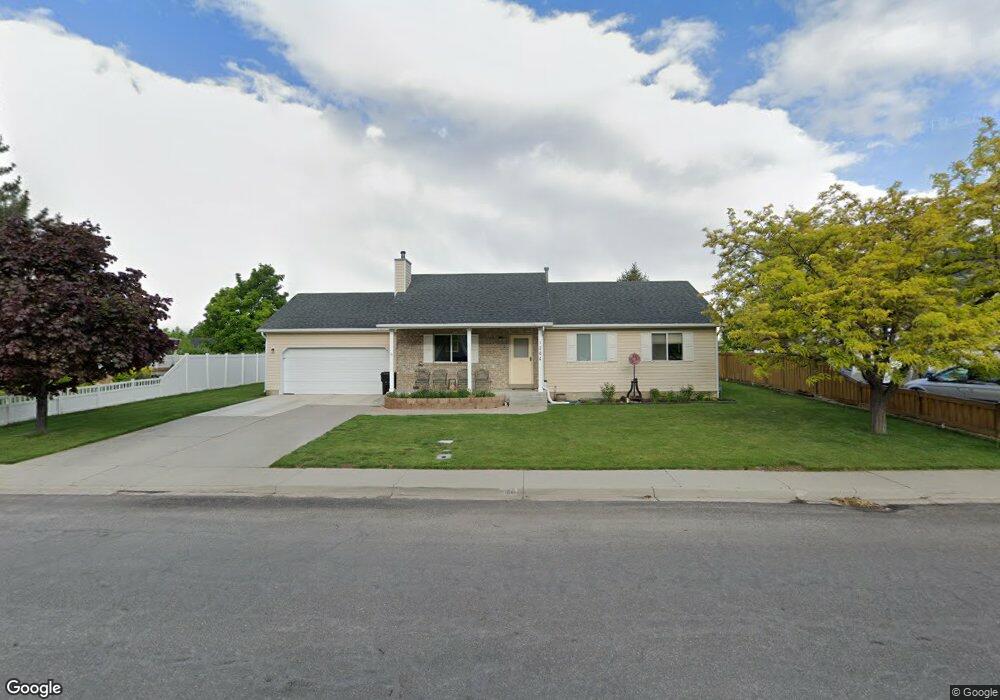
1264 S 2600 E Spanish Fork, UT 84660
Estimated Value: $460,000 - $503,000
3
Beds
1
Bath
1,247
Sq Ft
$382/Sq Ft
Est. Value
About This Home
This home is located at 1264 S 2600 E, Spanish Fork, UT 84660 and is currently estimated at $476,475, approximately $382 per square foot. 1264 S 2600 E is a home located in Utah County with nearby schools including Spanish Oaks Elementary School, Diamond Fork Junior High School, and Mapleton Junior High School.
Ownership History
Date
Name
Owned For
Owner Type
Purchase Details
Closed on
Jul 19, 2011
Sold by
Oakmont Enterprises Llc
Bought by
Tucker Richard
Current Estimated Value
Purchase Details
Closed on
Feb 8, 2006
Sold by
Blaney Ted M and Blaney Reva
Bought by
Liddiard Paul H and Liddiard Brenda L
Home Financials for this Owner
Home Financials are based on the most recent Mortgage that was taken out on this home.
Original Mortgage
$152,000
Interest Rate
7.87%
Mortgage Type
Stand Alone First
Create a Home Valuation Report for This Property
The Home Valuation Report is an in-depth analysis detailing your home's value as well as a comparison with similar homes in the area
Home Values in the Area
Average Home Value in this Area
Purchase History
| Date | Buyer | Sale Price | Title Company |
|---|---|---|---|
| Tucker Richard | -- | Title West Orem | |
| Liddiard Paul H | -- | Title West Title Company |
Source: Public Records
Mortgage History
| Date | Status | Borrower | Loan Amount |
|---|---|---|---|
| Previous Owner | Liddiard Paul H | $152,000 |
Source: Public Records
Tax History Compared to Growth
Tax History
| Year | Tax Paid | Tax Assessment Tax Assessment Total Assessment is a certain percentage of the fair market value that is determined by local assessors to be the total taxable value of land and additions on the property. | Land | Improvement |
|---|---|---|---|---|
| 2025 | $2,103 | $427,000 | $195,900 | $231,100 |
| 2024 | $2,103 | $216,810 | $0 | $0 |
| 2023 | $2,145 | $221,320 | $0 | $0 |
| 2022 | $2,356 | $238,425 | $0 | $0 |
| 2021 | $1,984 | $321,200 | $117,000 | $204,200 |
| 2020 | $1,877 | $295,500 | $106,400 | $189,100 |
| 2019 | $1,634 | $270,600 | $88,700 | $181,900 |
| 2018 | $1,515 | $242,500 | $83,700 | $158,800 |
| 2017 | $1,330 | $114,455 | $0 | $0 |
| 2016 | $1,246 | $105,820 | $0 | $0 |
| 2015 | $1,193 | $100,045 | $0 | $0 |
| 2014 | $1,085 | $91,355 | $0 | $0 |
Source: Public Records
Map
Nearby Homes
- 3170 E 1089 S
- 3509 E 1120 S Unit 109
- 3462 E 1120 S Unit 117
- 1613 S 3170 E
- 1184 S 2300 E
- 2834 E 1320 S
- 2744 E 1060 S
- 2746 E 1060 S
- 2748 E 1060 S
- 2741 E 1060 S
- 2743 E 1060 S
- 2745 E 1060 S
- 1072 S 2760 E
- 2747 E 1060 S
- 1068 S 2760 E
- 972 S High Ridge Rd
- 998 S 2720 E
- 1082 S 2810 E
- 1013 S 2740 E
- 1003 S 2740 E
- 1282 S 2600 E
- 1246 S 2600 E
- 1247 S 2510 E
- 1247 S 2510 E Unit 8
- 2508 E 1250 S
- 2508 E 1250 S Unit 7
- 2618 E 1250 S
- 1213 S 2510 E
- 1213 S 2510 E Unit AM09B
- 1213 S 2510 E Unit 9
- 1304 S 2600 E
- 1224 S 2600 E
- 1289 S 2600 E
- 2300 E 1250 S Unit 15 t
- 2371 E 1250 S Unit AM 18A
- 2300 E 1250 S Unit PRINCE
- 2300 E 1250 S Unit OXFORD
- 2300 E 1250 S Unit HARVAR
- 2300 E 1250 S Unit ANTHON
- 2300 E 1250 S Unit ALEXAN