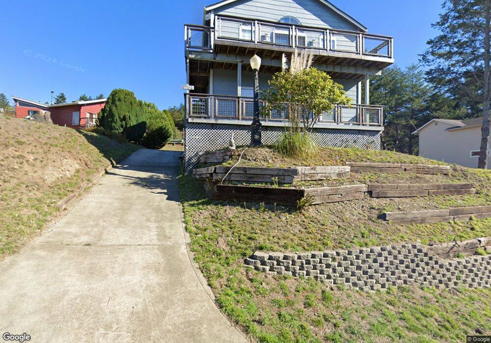
1264 Upper Pacific Dr Whitethorn, CA 95589
Shelter Cove AreaEstimated Value: $366,000 - $565,000
About This Home
This home is located at 1264 Upper Pacific Dr, Whitethorn, CA 95589 and is currently estimated at $462,479, approximately $215 per square foot. 1264 Upper Pacific Dr is a home located in Humboldt County.
Ownership History
We collect this data history from publicly available records. To have your information removed, we recommend requesting removal directly through your county’s website.
Purchase Details
Purchase Details
Home Financials for this Owner
Home Financials are based on the most recent Mortgage that was taken out on this home.Home Values in the Area
Average Home Value in this Area
Purchase History
We collect this data history from publicly available records. To have your information removed, we recommend requesting removal directly through your county’s website.
| Date | Buyer | Sale Price | Title Company |
|---|---|---|---|
| -- | None Listed On Document | ||
| -- | None Listed On Document | ||
| -- | None Listed On Document | ||
| -- | -- |
Mortgage History
We collect this data history from publicly available records. To have your information removed, we recommend requesting removal directly through your county’s website.
| Date | Status | Borrower | Loan Amount |
|---|---|---|---|
| Previous Owner | $50,000 | ||
| Previous Owner | $94,000 | ||
| Previous Owner | $97,174 | ||
| Previous Owner | $101,601 | ||
| Previous Owner | $50,000 | ||
| Previous Owner | $50,000 | ||
| Previous Owner | $34,000 | ||
| Previous Owner | $50,000 |
Tax History
We collect this data history from publicly available records. To have your information removed, we recommend requesting removal directly through your county’s website.
| Year | Tax Paid | Tax Assessment Tax Assessment Total Assessment is a certain percentage of the fair market value that is determined by local assessors to be the total taxable value of land and additions on the property. | Land | Improvement |
|---|---|---|---|---|
| 2025 | $2,680 | $224,022 | $50,494 | $173,528 |
| 2024 | $2,680 | $219,630 | $49,504 | $170,126 |
| 2023 | $2,690 | $215,325 | $48,534 | $166,791 |
| 2022 | $2,652 | $211,104 | $47,583 | $163,521 |
| 2021 | $2,561 | $206,965 | $46,650 | $160,315 |
| 2020 | $2,575 | $204,844 | $46,172 | $158,672 |
| 2019 | $2,517 | $200,828 | $45,267 | $155,561 |
| 2018 | $2,478 | $196,891 | $44,380 | $152,511 |
| 2017 | $2,260 | $193,031 | $43,510 | $149,521 |
| 2016 | $2,246 | $189,247 | $42,657 | $146,590 |
| 2015 | $2,234 | $186,406 | $42,017 | $144,389 |
| 2014 | $2,168 | $182,755 | $41,194 | $141,561 |
Map
- 72 Spruce Rd
- 4 Spruce Ct
- 0 Spruce Ct
- 20 Spruce Ct
- 18 Spruce Ct
- 106 Seafoam Rd
- 30 Seafoam Rd
- 32 Seafoam Rd
- 148 Seafoam Rd
- 45 Seafoam Rd
- 130 Mcmains Ct
- 130 McMain Ct
- 1284 Upper Pacific Dr
- 20 Seafoam Rd
- 1298 Upper Pacific Dr
- 121 Seafoam Rd
- 121 Seafoam Rd
- 1237 Upper Pacific Dr
- 23 Seafoam Rd
- 1330 Upper Pacific Dr
Ask me questions while you tour the home.