12641 Fork Rd Fork, MD 21051
Jacksonville NeighborhoodEstimated Value: $690,000 - $833,878
Studio
4
Baths
3,412
Sq Ft
$223/Sq Ft
Est. Value
About This Home
This home is located at 12641 Fork Rd, Fork, MD 21051 and is currently estimated at $761,939, approximately $223 per square foot. 12641 Fork Rd is a home located in Baltimore County with nearby schools including Kingsville Elementary School, Perry Hall Middle School, and Perry Hall High School.
Ownership History
Date
Name
Owned For
Owner Type
Purchase Details
Closed on
Nov 21, 2019
Sold by
Young James Turner and Young Diane Gordon
Bought by
Bengtson Jay and Bengtson Carla
Current Estimated Value
Home Financials for this Owner
Home Financials are based on the most recent Mortgage that was taken out on this home.
Original Mortgage
$712,000
Outstanding Balance
$626,377
Interest Rate
3.6%
Estimated Equity
$135,562
Create a Home Valuation Report for This Property
The Home Valuation Report is an in-depth analysis detailing your home's value as well as a comparison with similar homes in the area
Home Values in the Area
Average Home Value in this Area
Purchase History
| Date | Buyer | Sale Price | Title Company |
|---|---|---|---|
| Bengtson Jay | $890,000 | Lawyers Trust Title Company |
Source: Public Records
Mortgage History
| Date | Status | Borrower | Loan Amount |
|---|---|---|---|
| Open | Bengtson Jay | $712,000 |
Source: Public Records
Tax History
| Year | Tax Paid | Tax Assessment Tax Assessment Total Assessment is a certain percentage of the fair market value that is determined by local assessors to be the total taxable value of land and additions on the property. | Land | Improvement |
|---|---|---|---|---|
| 2025 | $5,734 | $515,867 | -- | -- |
| 2024 | $5,734 | $475,233 | $0 | $0 |
| 2023 | $2,634 | $434,600 | $128,100 | $306,500 |
| 2022 | $5,220 | $434,600 | $128,100 | $306,500 |
| 2021 | $5,359 | $434,600 | $128,100 | $306,500 |
| 2020 | $5,717 | $471,700 | $153,100 | $318,600 |
| 2019 | $5,717 | $471,700 | $153,100 | $318,600 |
| 2018 | $5,725 | $471,700 | $153,100 | $318,600 |
| 2017 | $5,499 | $471,700 | $0 | $0 |
| 2016 | $5,041 | $451,467 | $0 | $0 |
| 2015 | $5,041 | $431,233 | $0 | $0 |
| 2014 | $5,041 | $411,000 | $0 | $0 |
Source: Public Records
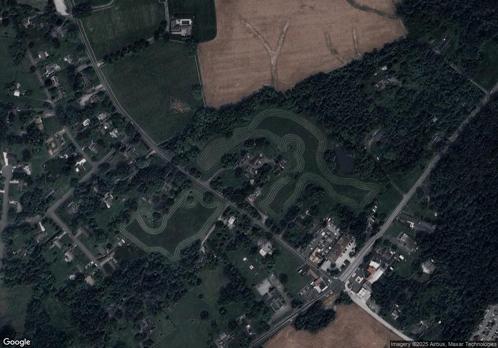
Map
Nearby Homes
- 12801 Harford Rd
- 3 Blue Violet Ct
- 0 Sunshine Ave
- 6031 Glen Arm Rd E
- 7437 New Cut Rd
- 12000 Belair Rd
- 11603 Mohr Rd
- 2828 Harford Rd
- 12103 Cecilia Ct
- 12109 Cecilia Ct
- 12117 Cecilia Ct
- 303 PARCEL Hillrise Ave
- 5451 Glen Arm Rd
- 12343 Long Green Pike
- 700 Remington Rd
- 5602 Patterson Rd
- 803 Karylou Cir
- 2511 Easy St
- 4023 Miller Rd
- 8104 Redstone Rd
- 12641 Fork Rd
- 12628 Fork Rd
- 12649 Fork Rd
- 12613 Fork Rd
- 12648 Fork Rd
- 12620 Fork Rd
- 12652 Fork Rd
- 12630 Fork Rd
- 12607 Fork Rd
- 12536 Harford Rd
- 12600 Harford Rd
- 12656 Fork Rd
- 12616 Harford Rd
- 12638 Harford Rd
- 12700 Fork Rd
- 12656 Wilson Ave
- 12640 Harford Rd
- 12619 Harford Rd
- 12658 Wilson Ave
- 12644 Harford Rd
Your Personal Tour Guide
Ask me questions while you tour the home.