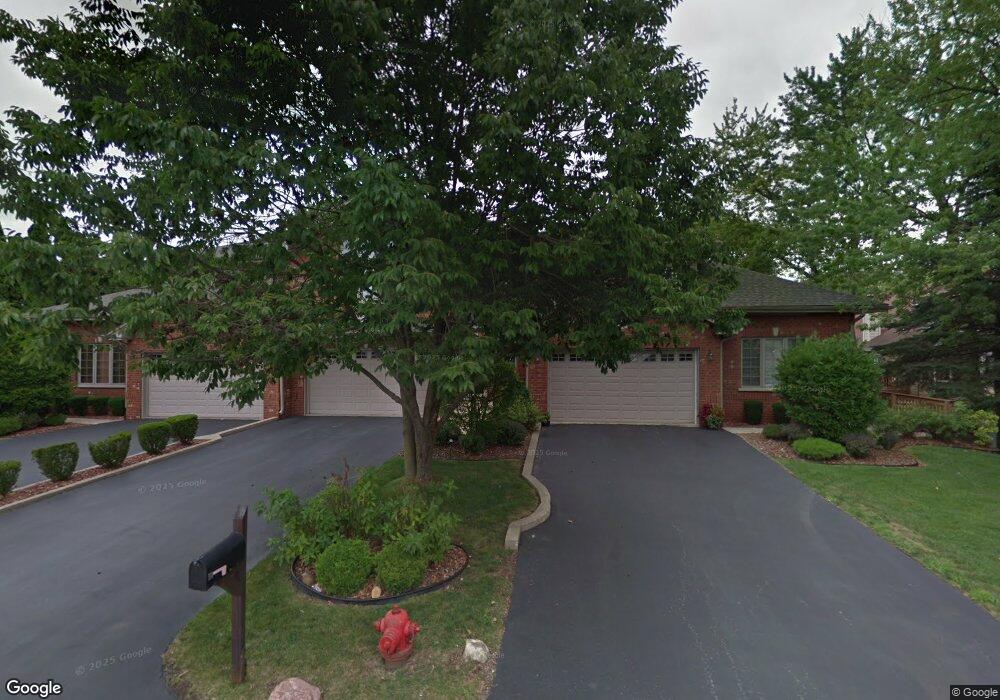
12643 Natoma Ave Palos Heights, IL 60463
Navajo Hills NeighborhoodEstimated Value: $372,000 - $456,000
3
Beds
3
Baths
2,182
Sq Ft
$183/Sq Ft
Est. Value
About This Home
This home is located at 12643 Natoma Ave, Palos Heights, IL 60463 and is currently estimated at $398,977, approximately $182 per square foot. 12643 Natoma Ave is a home located in Cook County with nearby schools including Navajo Heights Elementary School, Chippewa Elementary School, and Independence Jr High School.
Ownership History
Date
Name
Owned For
Owner Type
Purchase Details
Closed on
Nov 11, 2015
Sold by
First Midwest Bank
Bought by
The Stephanie Allen Trust
Current Estimated Value
Purchase Details
Closed on
Jun 18, 1999
Sold by
Kawa Stephanie
Bought by
Palos Bank & Trust Company and Trust #1-4639
Purchase Details
Closed on
Apr 13, 1999
Sold by
State Bank Of Countryside
Bought by
Kawa Stephanie
Home Financials for this Owner
Home Financials are based on the most recent Mortgage that was taken out on this home.
Original Mortgage
$120,000
Interest Rate
6.75%
Create a Home Valuation Report for This Property
The Home Valuation Report is an in-depth analysis detailing your home's value as well as a comparison with similar homes in the area
Home Values in the Area
Average Home Value in this Area
Purchase History
| Date | Buyer | Sale Price | Title Company |
|---|---|---|---|
| The Stephanie Allen Trust | -- | None Available | |
| Palos Bank & Trust Company | -- | Lawyers Title Insurance Corp | |
| Kawa Stephanie | $141,000 | -- |
Source: Public Records
Mortgage History
| Date | Status | Borrower | Loan Amount |
|---|---|---|---|
| Previous Owner | Kawa Stephanie | $120,000 |
Source: Public Records
Tax History Compared to Growth
Tax History
| Year | Tax Paid | Tax Assessment Tax Assessment Total Assessment is a certain percentage of the fair market value that is determined by local assessors to be the total taxable value of land and additions on the property. | Land | Improvement |
|---|---|---|---|---|
| 2024 | $7,880 | $32,000 | $1,275 | $30,725 |
| 2023 | $6,767 | $32,000 | $1,275 | $30,725 |
| 2022 | $6,767 | $24,897 | $1,122 | $23,775 |
| 2021 | $6,517 | $24,897 | $1,122 | $23,775 |
| 2020 | $6,532 | $24,897 | $1,122 | $23,775 |
| 2019 | $7,987 | $30,281 | $1,020 | $29,261 |
| 2018 | $7,558 | $30,281 | $1,020 | $29,261 |
| 2017 | $7,586 | $30,281 | $1,020 | $29,261 |
| 2016 | $6,543 | $24,196 | $867 | $23,329 |
| 2015 | $6,337 | $24,196 | $867 | $23,329 |
| 2014 | $6,182 | $24,196 | $867 | $23,329 |
| 2013 | $7,157 | $27,383 | $867 | $26,516 |
Source: Public Records
Map
Nearby Homes
- 12611 Natoma Ave
- 6519 W 126th Place
- 6711 W Shiawassie Dr
- 6709 W Menominee Pkwy
- 12753 S Oak Park Ave
- 6839 W 127th St
- 12646 S 69th Ct
- 12718 S 69th Ct
- 12722 S 69th Ct
- 12246 S Nagle Ave
- 13007 S Oak Park Ave
- 430 Shadow Creek Dr
- 6052 W 128th St
- 12256 S Arbor Trail Unit 11W
- 13097 Laurel Glen Ct Unit 202
- 12513 S Mcvickers Ave
- 6052 W 129th Place
- 12501 S 71st Ct
- 12732 S Austin Ave
- 21 Shadow Creek Cir
- 12645 Natoma Ave
- 12641 Natoma Ave
- 6226 W 127th St
- 6228 W 127th St
- 26 W Maple Ln
- 28 W Maple Ln
- 24 W Maple Ln
- 6517 W 126th Place
- 22 W Maple Ln
- 20 W Maple Ln
- 6515 W 126th Place
- 6218 W 127th St
- 6600 W 127th St
- 6518 W 126th Place
- 12601 Natoma Ave
- 18 W Maple Ln
- 12615 E Navajo Dr
- 6516 W 126th Place
- 16 W Maple Ln
- 6513 W 126th Place