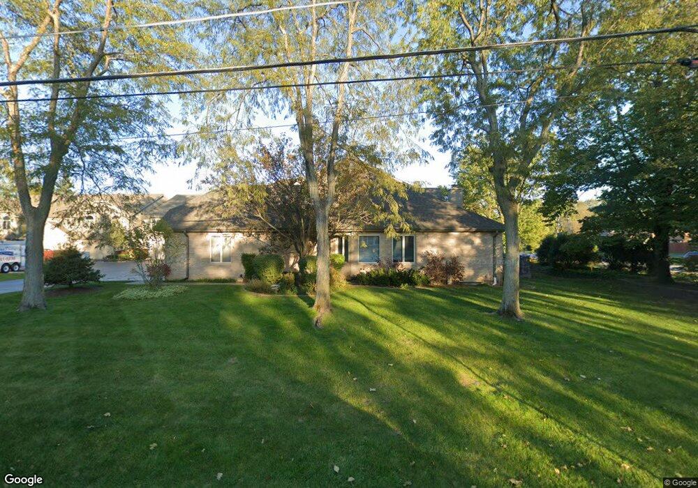
12643 S 69th Ct Palos Heights, IL 60463
Navajo Hills NeighborhoodEstimated Value: $381,000 - $388,000
3
Beds
3
Baths
1,992
Sq Ft
$193/Sq Ft
Est. Value
About This Home
This home is located at 12643 S 69th Ct, Palos Heights, IL 60463 and is currently estimated at $384,450, approximately $192 per square foot. 12643 S 69th Ct is a home located in Cook County with nearby schools including Navajo Heights Elementary School, Chippewa Elementary School, and Independence Jr High School.
Ownership History
Date
Name
Owned For
Owner Type
Purchase Details
Closed on
May 22, 2024
Sold by
Amendola Family Declaration Of Trust and Amendola Arlene M
Bought by
Rodrick Christopher
Current Estimated Value
Home Financials for this Owner
Home Financials are based on the most recent Mortgage that was taken out on this home.
Original Mortgage
$337,500
Outstanding Balance
$332,768
Interest Rate
6.88%
Mortgage Type
New Conventional
Estimated Equity
$51,682
Purchase Details
Closed on
Nov 7, 2013
Sold by
Amendola Salvatore A and Amendola Arlene M
Bought by
Amendola Salvatore A and Amendola Arlene M
Purchase Details
Closed on
Jan 9, 2002
Sold by
Amendola Salvatore
Bought by
Amendola Salvatore A and Amendola Arlene M
Create a Home Valuation Report for This Property
The Home Valuation Report is an in-depth analysis detailing your home's value as well as a comparison with similar homes in the area
Home Values in the Area
Average Home Value in this Area
Purchase History
| Date | Buyer | Sale Price | Title Company |
|---|---|---|---|
| Rodrick Christopher | $375,000 | None Listed On Document | |
| Amendola Salvatore A | -- | None Available | |
| Amendola Salvatore A | -- | -- |
Source: Public Records
Mortgage History
| Date | Status | Borrower | Loan Amount |
|---|---|---|---|
| Open | Rodrick Christopher | $337,500 |
Source: Public Records
Tax History Compared to Growth
Tax History
| Year | Tax Paid | Tax Assessment Tax Assessment Total Assessment is a certain percentage of the fair market value that is determined by local assessors to be the total taxable value of land and additions on the property. | Land | Improvement |
|---|---|---|---|---|
| 2024 | $7,369 | $31,001 | $2,178 | $28,823 |
| 2023 | $9,068 | $31,001 | $2,178 | $28,823 |
| 2022 | $9,068 | $31,269 | $1,916 | $29,353 |
| 2021 | $8,714 | $31,269 | $1,916 | $29,353 |
| 2020 | $8,687 | $31,269 | $1,916 | $29,353 |
| 2019 | $6,457 | $25,665 | $1,742 | $23,923 |
| 2018 | $6,110 | $25,665 | $1,742 | $23,923 |
| 2017 | $6,139 | $25,665 | $1,742 | $23,923 |
| 2016 | $6,252 | $23,310 | $1,480 | $21,830 |
| 2015 | $6,052 | $23,310 | $1,480 | $21,830 |
| 2014 | $5,906 | $23,310 | $1,480 | $21,830 |
| 2013 | $5,644 | $24,030 | $1,480 | $22,550 |
Source: Public Records
Map
Nearby Homes
- 12646 S 69th Ct
- 6839 W 127th St
- 6840 W Evergreen Ave
- 6711 W Shiawassie Dr
- 12422 S 70th Ct
- 6709 W Menominee Pkwy
- 12815 S Seneca Rd
- 7309 W Palos Ave
- 6519 W 126th Place
- 12900 S Seneca Rd
- 13007 S Oak Park Ave
- 13064 S 71st Ave
- 430 Shadow Creek Dr
- 12246 S Nagle Ave
- 12332 S Richard Ave
- 7415 W Ute Ln
- 12022 S 72nd Ct
- 6220 W 129th Place
- 12243 S 76th Ave
- 6150 W 124th St
- 12643 S 69th Ct
- 12643 S 69th Ct
- 12643 S 69th Ct
- 12643 S 69th Ct Unit 10
- 12643 S 69th Ct Unit 9
- 6902 W 127th St
- 12633 S 69th Ct Unit 7
- 12633 S 69th Ct
- 12633 S 69th Ct
- 12633 S 69th Ct
- 12633 S 69th Ct
- 12633 S 69th Ct Unit 5
- 12650 S 69th Ave
- 12701 S 69th Ct
- 12640 S 69th Ave
- 6932 W 127th St
- 12623 S 69th Ct
- 12623 S 69th Ct
- 12623 S 69th Ct
- 12623 S 69th Ct