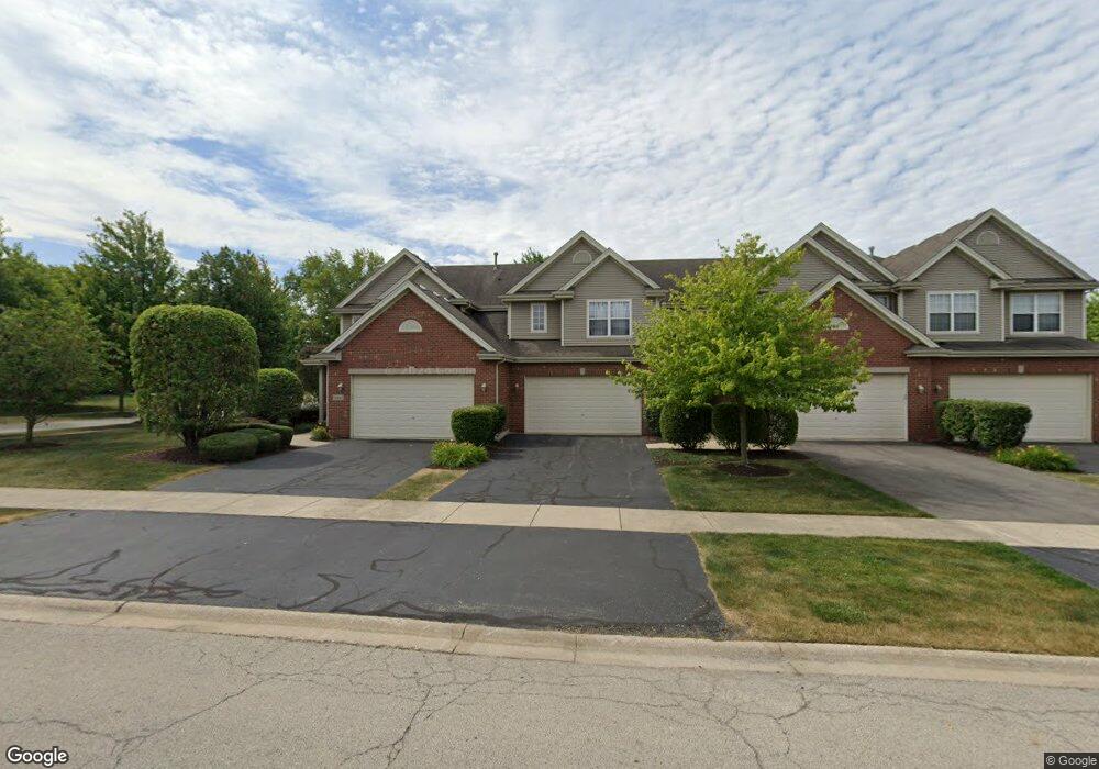
12643 W Yorkshire Dr Homer Glen, IL 60491
Estimated Value: $330,774 - $400,000
--
Bed
--
Bath
1,593
Sq Ft
$228/Sq Ft
Est. Value
About This Home
This home is located at 12643 W Yorkshire Dr, Homer Glen, IL 60491 and is currently estimated at $362,694, approximately $227 per square foot. 12643 W Yorkshire Dr is a home with nearby schools including Hadley Middle School, Luther J Schilling School, and Homer Jr High School.
Ownership History
Date
Name
Owned For
Owner Type
Purchase Details
Closed on
Jul 26, 2005
Sold by
Standard Bank & Trust Co
Bought by
Harris Patrick J and Lles Allison M
Current Estimated Value
Home Financials for this Owner
Home Financials are based on the most recent Mortgage that was taken out on this home.
Original Mortgage
$193,079
Outstanding Balance
$101,948
Interest Rate
5.74%
Mortgage Type
Fannie Mae Freddie Mac
Estimated Equity
$260,746
Create a Home Valuation Report for This Property
The Home Valuation Report is an in-depth analysis detailing your home's value as well as a comparison with similar homes in the area
Home Values in the Area
Average Home Value in this Area
Purchase History
| Date | Buyer | Sale Price | Title Company |
|---|---|---|---|
| Harris Patrick J | $250,500 | Cti |
Source: Public Records
Mortgage History
| Date | Status | Borrower | Loan Amount |
|---|---|---|---|
| Open | Harris Patrick J | $193,079 |
Source: Public Records
Tax History Compared to Growth
Tax History
| Year | Tax Paid | Tax Assessment Tax Assessment Total Assessment is a certain percentage of the fair market value that is determined by local assessors to be the total taxable value of land and additions on the property. | Land | Improvement |
|---|---|---|---|---|
| 2024 | $7,106 | $105,878 | $13,375 | $92,503 |
| 2023 | $7,106 | $95,974 | $12,124 | $83,850 |
| 2022 | $6,514 | $89,611 | $11,320 | $78,291 |
| 2021 | $6,195 | $84,899 | $10,725 | $74,174 |
| 2020 | $6,210 | $81,775 | $10,330 | $71,445 |
| 2019 | $5,911 | $78,667 | $9,937 | $68,730 |
| 2018 | $5,929 | $78,030 | $9,823 | $68,207 |
| 2017 | $5,816 | $75,846 | $9,548 | $66,298 |
| 2016 | $5,669 | $73,317 | $9,230 | $64,087 |
| 2015 | $5,295 | $70,565 | $8,884 | $61,681 |
| 2014 | $5,295 | $67,698 | $8,700 | $58,998 |
| 2013 | $5,295 | $67,698 | $8,700 | $58,998 |
Source: Public Records
Map
Nearby Homes
- Fremont Plan at Kingston Hills
- Briarcliffe Plan at Kingston Hills
- Danbury Plan at Kingston Hills
- Calysta Plan at Kingston Hills
- Eden Plan at Kingston Hills
- Amberwood Plan at Kingston Hills
- 12459 Rosewood Dr Unit 1
- 14748 S Carlton Ln
- 15022 S Woodcrest Ave Unit 3
- 15507 Willow Ct
- 14561 S Appaloosa Ln
- 14715 S Woodcrest Ave
- 14542 S Mustang Dr
- 14541 S Bell Rd
- 13116 Woodland Dr
- 12222 Rambling Rd
- 15328 Sharon Dr
- 15564 Willow Ct
- 14453 S Bell Rd
- 13226 Farm View St
- 12645 W Yorkshire Dr
- 12641 W Yorkshire Dr
- 12647 W Yorkshire Dr
- 12649 W Yorkshire Dr
- 12651 Yorkshire Dr
- 12653 W Yorkshire Dr
- 14960 S Suffolk Ct
- 12655 W Yorkshire Dr
- 12633 W Yorkshire Dr
- 14958 S Suffolk Ct
- 12631 W Yorkshire Dr
- 12658 W Yorkshire Dr Unit 5
- 14961 S Suffolk Ct
- 12629 W Yorkshire Dr Unit 5
- 14956 S Suffolk Ct Unit 5
- 12660 W Yorkshire Dr
- 14954 S Suffolk Ct
- 12662 W Yorkshire Dr
- 12662 W Yorkshire Dr Unit 3
- 12650 W Yorkshire Dr