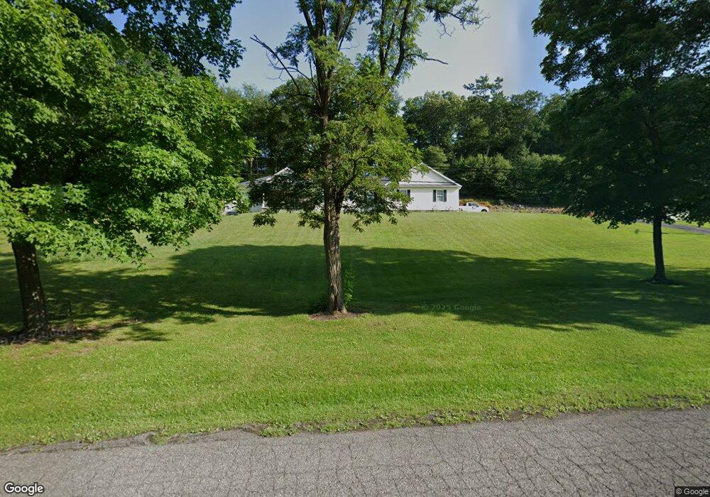
12646 Vale Summit Rd SW Frostburg, MD 21532
Estimated Value: $352,000 - $392,749
--
Bed
1
Bath
2,720
Sq Ft
$138/Sq Ft
Est. Value
About This Home
This home is located at 12646 Vale Summit Rd SW, Frostburg, MD 21532 and is currently estimated at $374,916, approximately $137 per square foot. 12646 Vale Summit Rd SW is a home located in Allegany County with nearby schools including Beall Elementary School, Mount Savage Middle School, and Mountain Ridge High School.
Ownership History
Date
Name
Owned For
Owner Type
Purchase Details
Closed on
Aug 22, 2011
Sold by
Phillips Faith Y
Bought by
Phillips David A and Phillips Faith Y
Current Estimated Value
Home Financials for this Owner
Home Financials are based on the most recent Mortgage that was taken out on this home.
Original Mortgage
$300,000
Outstanding Balance
$210,000
Interest Rate
4.52%
Mortgage Type
Construction
Estimated Equity
$164,916
Purchase Details
Closed on
Aug 17, 2011
Sold by
Phillips Faith Y
Bought by
Phillips David A and Phillips Faith Y
Home Financials for this Owner
Home Financials are based on the most recent Mortgage that was taken out on this home.
Original Mortgage
$300,000
Outstanding Balance
$210,000
Interest Rate
4.52%
Mortgage Type
Construction
Estimated Equity
$164,916
Purchase Details
Closed on
Jun 15, 2009
Sold by
Allegany Coal & L & Co
Bought by
Phillips Faith Y
Create a Home Valuation Report for This Property
The Home Valuation Report is an in-depth analysis detailing your home's value as well as a comparison with similar homes in the area
Home Values in the Area
Average Home Value in this Area
Purchase History
| Date | Buyer | Sale Price | Title Company |
|---|---|---|---|
| Phillips David A | -- | -- | |
| Phillips David A | -- | -- | |
| Phillips David A | -- | -- | |
| Phillips David A | -- | -- | |
| Phillips Faith Y | $40,000 | -- |
Source: Public Records
Mortgage History
| Date | Status | Borrower | Loan Amount |
|---|---|---|---|
| Open | Phillips David A | $300,000 | |
| Closed | Phillips David A | $300,000 |
Source: Public Records
Tax History Compared to Growth
Tax History
| Year | Tax Paid | Tax Assessment Tax Assessment Total Assessment is a certain percentage of the fair market value that is determined by local assessors to be the total taxable value of land and additions on the property. | Land | Improvement |
|---|---|---|---|---|
| 2025 | $3,314 | $342,300 | $43,000 | $299,300 |
| 2024 | $3,314 | $321,567 | $0 | $0 |
| 2023 | $3,177 | $300,833 | $0 | $0 |
| 2022 | $3,015 | $280,100 | $43,000 | $237,100 |
| 2021 | $3,015 | $279,833 | $0 | $0 |
| 2020 | $3,039 | $279,567 | $0 | $0 |
| 2019 | $3,036 | $279,300 | $44,800 | $234,500 |
| 2018 | $3,036 | $279,300 | $44,800 | $234,500 |
| 2017 | $3,095 | $279,300 | $0 | $0 |
| 2016 | -- | $286,800 | $0 | $0 |
| 2015 | -- | $286,800 | $0 | $0 |
| 2014 | -- | $286,800 | $0 | $0 |
Source: Public Records
Map
Nearby Homes
- 12419 Vale Summit Rd SW
- 12114 Vale Summit Rd SW
- 12015 Vale Summit Rd SW
- 12305 Barbers Hill Rd SW
- 12215 Barbers Hill Rd SW
- 11805 Cypress Ct SW
- 12223 Summit Cir
- 15800 Sprucewood Dr
- 209 Moonlight Dr
- 11200 Upper Georges Creek Rd SW
- 10701 Hoffman Hollow Rd SW
- 11115 Layman St
- Lot 3 Mazer Way
- 17009 Old National Pike SW
- Lot 7 Mazer Way
- Lot 5 Mazer Way
- Lot 6 Mazer Way
- 0 Warns Ln Unit MDAL2012608
- 0 Casino Dr SW
- 174 Spring St
- 12700 Vale Summit Rd SW
- 12704 Vale Summit Rd SW
- 12639 Vale Summit Rd SW
- 12712 Vale Summit Rd SW
- 17400 Pompey Smash Rd SW
- 12717 Vale Summit Rd SW
- 12822 Davistown Rd SW
- 12921 Davistown Rd SW
- 17404 Pompey Smash Rd SW
- 12725 Vale Summit Rd SW
- 12727 Vale Summit Rd SW
- 12827 Davistown Rd SW
- 12901 Davistown Rd SW
- 12716 Vale Summit Rd SW
- 12629 N Vale Summit Rd
- 17502 Top Row Rd SW
- 12729 Vale Summit Rd SW
- 12913 Davistown Rd SW
- 17412 Pompey Smash Rd SW
- 12609 Vale Summit Rd SW