1265 E Sherrill Rd Minooka, IL 60447
Estimated Value: $307,000 - $434,000
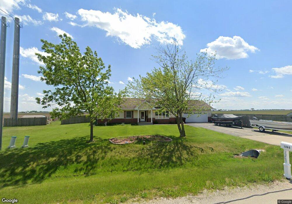
About This Home
This home is located at 1265 E Sherrill Rd, Minooka, IL 60447 and is currently estimated at $370,474, approximately $242 per square foot. 1265 E Sherrill Rd is a home located in Grundy County with nearby schools including Saratoga Elementary School and Morris Community High School.
Ownership History
We collect this data history from publicly available records. To have your information removed, we recommend requesting removal directly through your county’s website.
Purchase Details
Home Financials for this Owner
Home Financials are based on the most recent Mortgage that was taken out on this home.Purchase Details
Home Financials for this Owner
Home Financials are based on the most recent Mortgage that was taken out on this home.Purchase History
We collect this data history from publicly available records. To have your information removed, we recommend requesting removal directly through your county’s website.
| Date | Buyer | Sale Price | Title Company |
|---|---|---|---|
| -- | None Available | ||
| $262,500 | Chicago Title |
Mortgage History
We collect this data history from publicly available records. To have your information removed, we recommend requesting removal directly through your county’s website.
| Date | Status | Borrower | Loan Amount |
|---|---|---|---|
| Open | $119,000 | ||
| Open | $247,900 | ||
| Closed | $257,744 |
Tax History
We collect this data history from publicly available records. To have your information removed, we recommend requesting removal directly through your county’s website.
| Year | Tax Paid | Tax Assessment Tax Assessment Total Assessment is a certain percentage of the fair market value that is determined by local assessors to be the total taxable value of land and additions on the property. | Land | Improvement |
|---|---|---|---|---|
| 2024 | $5,247 | $79,049 | $11,222 | $67,827 |
| 2023 | $4,932 | $74,308 | $10,549 | $63,759 |
| 2022 | $4,241 | $69,898 | $9,923 | $59,975 |
| 2021 | $3,988 | $65,435 | $9,289 | $56,146 |
| 2020 | $3,413 | $55,810 | $2,842 | $52,968 |
| 2019 | $3,384 | $55,793 | $2,825 | $52,968 |
| 2018 | $3,165 | $52,293 | $2,819 | $49,474 |
| 2017 | $3,370 | $51,176 | $2,748 | $48,428 |
| 2016 | $3,380 | $49,585 | $2,654 | $46,931 |
| 2015 | $2,824 | $48,586 | $2,607 | $45,979 |
| 2014 | $2,733 | $46,334 | $2,473 | $43,861 |
| 2013 | $1,507 | $47,970 | $2,560 | $45,410 |
Map
- 4457 E Minooka Rd
- 1330 Airport Rd
- 9590 Brown Rd
- 2823 Ninovan Ln
- 2811 Ninovan Ln
- 2812 Ninovan Ln
- 2813 Ninovan Ln
- 11 Beech St
- 3948 N Division St
- 10810 Tabler Rd
- 9155 Aux Sable Ct
- 5425 Sand Ridge Rd
- 5445 Sand Ridge Rd
- 9100 Kings Rd
- LOT 6 Mission Pkwy
- LOT 7 Mission Pkwy
- 6010-6060 E Minooka Rd
- 8725 Plattville Rd
- 194 acres W Holt Rd
- 4500 Bell Rd
Ask me questions while you tour the home.