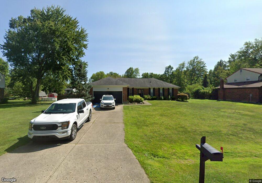
1265 Maplecrest Ct Amelia, OH 45102
Estimated Value: $309,628 - $339,000
3
Beds
2
Baths
1,711
Sq Ft
$189/Sq Ft
Est. Value
About This Home
This home is located at 1265 Maplecrest Ct, Amelia, OH 45102 and is currently estimated at $322,907, approximately $188 per square foot. 1265 Maplecrest Ct is a home located in Clermont County with nearby schools including Merwin Elementary School, West Clermont Middle School, and West Clermont High School.
Ownership History
Date
Name
Owned For
Owner Type
Purchase Details
Closed on
Jul 28, 2016
Sold by
Davis Trent A and Davis Kala
Bought by
Stowell Aaron and Stowell Jessica
Current Estimated Value
Home Financials for this Owner
Home Financials are based on the most recent Mortgage that was taken out on this home.
Original Mortgage
$179,550
Outstanding Balance
$141,983
Interest Rate
3.54%
Mortgage Type
New Conventional
Estimated Equity
$180,924
Purchase Details
Closed on
Dec 12, 2005
Sold by
Deweese David L and Deweese Constance A
Bought by
Davis Trent A and Davis Kala
Home Financials for this Owner
Home Financials are based on the most recent Mortgage that was taken out on this home.
Original Mortgage
$142,500
Interest Rate
6.48%
Mortgage Type
Fannie Mae Freddie Mac
Create a Home Valuation Report for This Property
The Home Valuation Report is an in-depth analysis detailing your home's value as well as a comparison with similar homes in the area
Home Values in the Area
Average Home Value in this Area
Purchase History
| Date | Buyer | Sale Price | Title Company |
|---|---|---|---|
| Stowell Aaron | $189,000 | Stewart Title | |
| Davis Trent A | $205,333 | -- |
Source: Public Records
Mortgage History
| Date | Status | Borrower | Loan Amount |
|---|---|---|---|
| Open | Stowell Aaron | $179,550 | |
| Previous Owner | Davis Trent A | $142,500 |
Source: Public Records
Tax History
| Year | Tax Paid | Tax Assessment Tax Assessment Total Assessment is a certain percentage of the fair market value that is determined by local assessors to be the total taxable value of land and additions on the property. | Land | Improvement |
|---|---|---|---|---|
| 2024 | $4,855 | $94,990 | $14,210 | $80,780 |
| 2023 | $4,862 | $94,990 | $14,210 | $80,780 |
| 2022 | $4,038 | $68,570 | $10,150 | $58,420 |
| 2021 | $3,992 | $68,570 | $10,150 | $58,420 |
| 2020 | $3,993 | $68,570 | $10,150 | $58,420 |
| 2019 | $3,258 | $60,700 | $11,870 | $48,830 |
| 2018 | $3,289 | $60,700 | $11,870 | $48,830 |
| 2017 | $3,001 | $60,700 | $11,870 | $48,830 |
| 2016 | $3,001 | $50,160 | $9,800 | $40,360 |
| 2015 | $2,920 | $50,160 | $9,800 | $40,360 |
| 2014 | $2,813 | $50,160 | $9,800 | $40,360 |
| 2013 | $2,734 | $48,480 | $10,500 | $37,980 |
Source: Public Records
Map
Nearby Homes
- 3653 Legend Oaks Dr
- 3591 Lake Meadow Dr
- 3566 Turnberry
- 0 Merwin Ten Mile Rd Unit 1872009
- 3726 Oakwood Dr
- 1013 Prestwick Place
- 1206 Sycamore Ln
- 3664 Lewis Rd
- 971 Cedar Ridge Dr
- 1019 Cedar Ridge Dr
- 3894 Kippling Crossing
- 3782 Prestwick Cir
- 3775 Prestwick Cir
- 3806 Sturbridge Way
- 3807 Sturbridge Way
- 1204 Buxton Oaks Dr
- 1205 Buxton Oaks Dr
- 1 Merwin Farms
- 3815 Lilac Ln
- 57 Marigold Ln
- 1267 Maplecrest Ct
- 1263 Maplecrest Ct
- 1266 Pine Forest Dr
- 1264 Pine Forest Dr
- 1268 Pine Forest Dr
- 1269 Maplecrest Ct
- 1268 Maplecrest Ct
- 1266 Maplecrest Ct
- 1264 Maplecrest Ct
- 1270 Maplecrest Ct
- 1262 Pine Forest Dr
- 1270 Pine Forest Dr
- 3607 Maplewood Dr
- 1271 Maplecrest Ct
- 1262 Maplecrest Ct
- 1265 Pine Forest Dr
- 1272 Maplecrest Ct
- 3604 Brookhaven Dr
- 1263 Pine Forest Dr
- 1267 Pine Forest Dr
Your Personal Tour Guide
Ask me questions while you tour the home.