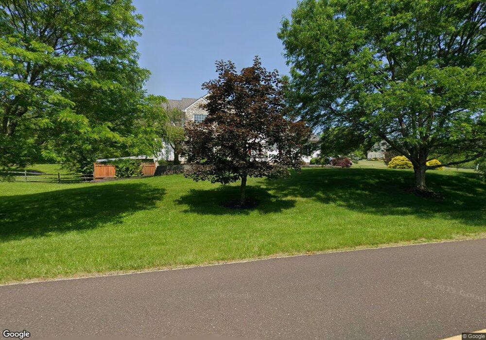
1265 Moyer Rd Telford, PA 18969
Upper Salford Township NeighborhoodEstimated Value: $786,960 - $872,000
4
Beds
4
Baths
3,108
Sq Ft
$269/Sq Ft
Est. Value
About This Home
This home is located at 1265 Moyer Rd, Telford, PA 18969 and is currently estimated at $835,990, approximately $268 per square foot. 1265 Moyer Rd is a home located in Montgomery County with nearby schools including Salford Hills Elementary School, Indian Valley Middle School, and Souderton Area Senior High School.
Ownership History
Date
Name
Owned For
Owner Type
Purchase Details
Closed on
May 28, 2004
Sold by
Kirkpatrick Mark and Kirkpatrick Jennifer
Bought by
Rush Patrick A and Rush Dawn M
Current Estimated Value
Purchase Details
Closed on
Nov 6, 1998
Sold by
Kirkpatrick John
Bought by
Kirkpatrick Mark and Cadman Jennifer
Purchase Details
Closed on
Jul 28, 1998
Sold by
Marks Clifford R and Marks Consolacion B
Bought by
Jml Construction Inc
Create a Home Valuation Report for This Property
The Home Valuation Report is an in-depth analysis detailing your home's value as well as a comparison with similar homes in the area
Home Values in the Area
Average Home Value in this Area
Purchase History
| Date | Buyer | Sale Price | Title Company |
|---|---|---|---|
| Rush Patrick A | $520,000 | -- | |
| Kirkpatrick Mark | $300,000 | -- | |
| Jml Construction Inc | $70,000 | -- |
Source: Public Records
Mortgage History
| Date | Status | Borrower | Loan Amount |
|---|---|---|---|
| Closed | Rush Patrick A | $0 |
Source: Public Records
Tax History Compared to Growth
Tax History
| Year | Tax Paid | Tax Assessment Tax Assessment Total Assessment is a certain percentage of the fair market value that is determined by local assessors to be the total taxable value of land and additions on the property. | Land | Improvement |
|---|---|---|---|---|
| 2025 | $11,858 | $300,920 | $65,180 | $235,740 |
| 2024 | $11,858 | $300,920 | $65,180 | $235,740 |
| 2023 | $11,304 | $300,920 | $65,180 | $235,740 |
| 2022 | $10,953 | $300,920 | $65,180 | $235,740 |
| 2021 | $10,786 | $300,920 | $65,180 | $235,740 |
| 2020 | $10,652 | $300,920 | $65,180 | $235,740 |
| 2019 | $10,523 | $300,920 | $65,180 | $235,740 |
| 2018 | $10,522 | $300,920 | $65,180 | $235,740 |
| 2017 | $10,271 | $300,920 | $65,180 | $235,740 |
| 2016 | $10,153 | $300,920 | $65,180 | $235,740 |
| 2015 | $9,987 | $300,920 | $65,180 | $235,740 |
| 2014 | $9,987 | $300,920 | $65,180 | $235,740 |
Source: Public Records
Map
Nearby Homes
- 1323 Old Sumneytown Pike
- 1010 Branch Mill Rd
- 1171 Old Sumneytown Pike
- 1465 Old Skippack Rd
- 2310 Rostkowski Rd
- 2359 Hendricks Station Rd
- 20 Highview Dr
- 3196 Main St
- 2848 Swamp Creek Rd
- 1005 Dorchester Ln
- 224 Orchard Ln
- 3111 Main St
- 3095 Sumneytown Pike
- 2010 Perkiomenville Rd
- 713 Scenic Dr
- 133 Bavington Rd
- 1466 Schwenksville Rd
- 664 Harper Ln
- 635 Old Sumneytown Pike
- 110 Cobblestone Dr Unit JW 6-38