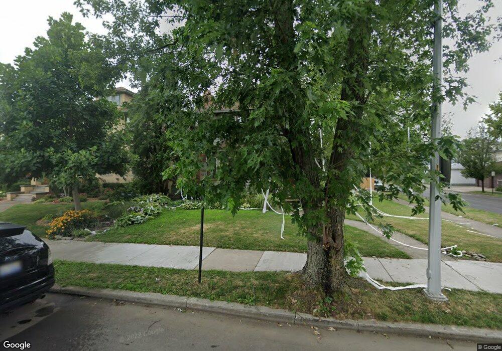
1265 Nottingham Rd Grosse Pointe Park, MI 48230
Estimated Value: $345,000 - $571,000
3
Beds
3
Baths
1,800
Sq Ft
$242/Sq Ft
Est. Value
About This Home
This home is located at 1265 Nottingham Rd, Grosse Pointe Park, MI 48230 and is currently estimated at $435,253, approximately $241 per square foot. 1265 Nottingham Rd is a home located in Wayne County with nearby schools including George Defer Elementary School, Pierce Middle School, and Grosse Pointe South High School.
Ownership History
Date
Name
Owned For
Owner Type
Purchase Details
Closed on
Apr 13, 2023
Sold by
Kroshus Jay
Bought by
Folger Jocelyn
Current Estimated Value
Home Financials for this Owner
Home Financials are based on the most recent Mortgage that was taken out on this home.
Original Mortgage
$50,000
Outstanding Balance
$48,538
Interest Rate
6.32%
Mortgage Type
New Conventional
Estimated Equity
$386,715
Purchase Details
Closed on
Oct 7, 2010
Sold by
Dangelo Peter and Dangelo Sheila L
Bought by
Kroshus Jay and Kroshus Jocelyn Folger
Create a Home Valuation Report for This Property
The Home Valuation Report is an in-depth analysis detailing your home's value as well as a comparison with similar homes in the area
Home Values in the Area
Average Home Value in this Area
Purchase History
| Date | Buyer | Sale Price | Title Company |
|---|---|---|---|
| Folger Jocelyn | -- | None Listed On Document | |
| Kroshus Jay | $157,000 | Michigan Title Insurance Age |
Source: Public Records
Mortgage History
| Date | Status | Borrower | Loan Amount |
|---|---|---|---|
| Open | Folger Jocelyn | $50,000 |
Source: Public Records
Tax History
| Year | Tax Paid | Tax Assessment Tax Assessment Total Assessment is a certain percentage of the fair market value that is determined by local assessors to be the total taxable value of land and additions on the property. | Land | Improvement |
|---|---|---|---|---|
| 2025 | $2,610 | $160,000 | $0 | $0 |
| 2024 | $2,513 | $156,200 | $0 | $0 |
| 2023 | $2,399 | $153,500 | $0 | $0 |
| 2022 | $2,280 | $140,100 | $0 | $0 |
| 2021 | $4,495 | $133,200 | $0 | $0 |
| 2019 | $4,626 | $123,500 | $0 | $0 |
| 2018 | $2,174 | $107,900 | $0 | $0 |
| 2017 | $4,998 | $69,900 | $0 | $0 |
| 2016 | $4,608 | $93,400 | $0 | $0 |
| 2015 | $8,134 | $92,100 | $0 | $0 |
| 2013 | $7,880 | $81,900 | $0 | $0 |
| 2012 | $2,047 | $78,800 | $23,500 | $55,300 |
Source: Public Records
Map
Nearby Homes
- 1254 Beaconsfield Ave
- 1328 Lakepointe St
- 1338 Somerset Ave
- 1206 Balfour St
- 1332 Wayburn St
- 1336 Wayburn St
- 1417 Beaconsfield Ave
- 2140 Alter Rd
- 2580 Alter Rd
- 2568 Alter Rd
- 1083 Lakepointe St
- 1048 Lakepointe St Unit A
- 1456 Wayburn St
- 1465 Maryland St
- 1350 Alter Rd
- 1449 Wayburn St
- 15239 Mack Ave
- 2966 Ashland St
- 2190 Philip St
- 3615 Barham St
- 1259 Nottingham Rd
- 1255 Nottingham Rd
- 1303 Nottingham Rd
- 1268 Beaconsfield Ave
- 1264 Beaconsfield Ave Unit 1266
- 1305 Nottingham Rd
- 1260 Beaconsfield Ave
- 1251 Nottingham Rd
- 1300 Beaconsfield Ave Unit 1302
- 1309 Nottingham Rd
- 1250 Beaconsfield Ave Unit 1252
- 1304 Beaconsfield Ave
- 1300 Nottingham Rd
- 1246 Beaconsfield Ave
- 1306 Nottingham Rd
- 1315 Nottingham Rd
- 1247 Nottingham Rd
- 1310 Beaconsfield Ave
- 1310 Nottingham Rd
- 1240 Beaconsfield Ave
Your Personal Tour Guide
Ask me questions while you tour the home.