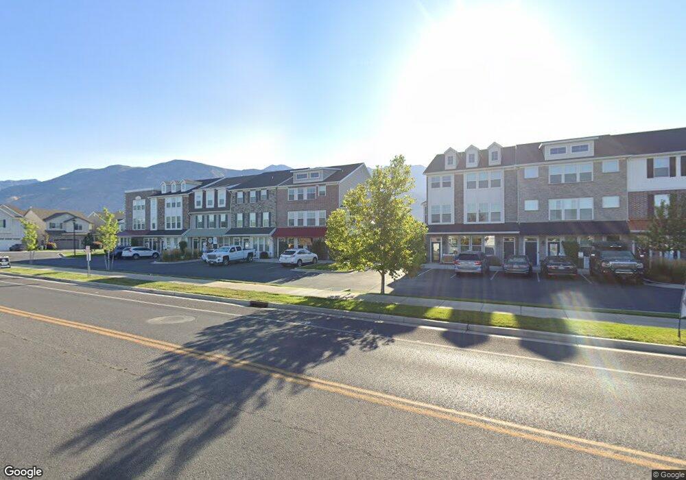
1265 W 20 S Pleasant Grove, UT 84062
Estimated Value: $510,000 - $552,000
4
Beds
3
Baths
1,913
Sq Ft
$277/Sq Ft
Est. Value
About This Home
This home is located at 1265 W 20 S, Pleasant Grove, UT 84062 and is currently estimated at $529,198, approximately $276 per square foot. 1265 W 20 S is a home located in Utah County with nearby schools including Mount Mahogany School, Pleasant Grove Junior High School, and Pleasant Grove High School.
Ownership History
Date
Name
Owned For
Owner Type
Purchase Details
Closed on
Apr 30, 2020
Sold by
Stormoen Jake
Bought by
Storm Forged Enterainment Inc
Current Estimated Value
Home Financials for this Owner
Home Financials are based on the most recent Mortgage that was taken out on this home.
Original Mortgage
$284,800
Outstanding Balance
$253,776
Interest Rate
3.6%
Mortgage Type
New Conventional
Estimated Equity
$275,422
Purchase Details
Closed on
Jan 24, 2017
Sold by
Georgetown Development Inc
Bought by
Payne Shawn D and Payne Tonya N
Home Financials for this Owner
Home Financials are based on the most recent Mortgage that was taken out on this home.
Original Mortgage
$286,045
Interest Rate
4.4%
Mortgage Type
FHA
Create a Home Valuation Report for This Property
The Home Valuation Report is an in-depth analysis detailing your home's value as well as a comparison with similar homes in the area
Home Values in the Area
Average Home Value in this Area
Purchase History
| Date | Buyer | Sale Price | Title Company |
|---|---|---|---|
| Storm Forged Enterainment Inc | -- | Access Title Company | |
| Stormoen Jake | -- | Vanguard Title Ins Agcy | |
| Payne Shawn D | -- | United West Title |
Source: Public Records
Mortgage History
| Date | Status | Borrower | Loan Amount |
|---|---|---|---|
| Open | Stormoen Jake | $284,800 | |
| Previous Owner | Payne Shawn D | $286,045 |
Source: Public Records
Tax History Compared to Growth
Tax History
| Year | Tax Paid | Tax Assessment Tax Assessment Total Assessment is a certain percentage of the fair market value that is determined by local assessors to be the total taxable value of land and additions on the property. | Land | Improvement |
|---|---|---|---|---|
| 2025 | $2,291 | $293,370 | $250,800 | $282,600 |
| 2024 | $2,291 | $273,515 | $0 | $0 |
| 2023 | $2,258 | $275,825 | $0 | $0 |
| 2022 | $2,360 | $286,880 | $0 | $0 |
| 2021 | $2,055 | $380,300 | $168,000 | $212,300 |
| 2020 | $1,931 | $350,300 | $150,000 | $200,300 |
| 2019 | $1,684 | $316,100 | $130,000 | $186,100 |
| 2018 | $1,637 | $290,400 | $120,000 | $170,400 |
| 2017 | $1,612 | $152,295 | $0 | $0 |
| 2016 | $164 | $15,000 | $0 | $0 |
Source: Public Records
Map
Nearby Homes
- 1267 W 20 S
- 1249 W Cambria Dr Unit 101
- 1406 W 50 N
- 150 N 1300 W
- 1429 W 110 N
- 123 N Romney Ln Unit 103
- 1512 W 50 N
- 1559 W 50 N
- 1542 W 110 N
- 1584 W 110 N
- 1593 W 220 N
- 1541 W 250 N
- 1525 W 300 N
- 293 N 1630 W
- 165 S Pleasant Blvd Unit 45
- 1130 W State Rd
- 128 S 1700 W Unit 12
- 289 S 1000 W Unit 203
- 1775 W 120 S Unit 54
- The Hastings Plan at Tayside Farm - Townhome
- 1265 W 20 S Unit 19
- 1267 W 20 S Unit 17
- 1259 W 20 S
- 31 S 1300 W Unit 14
- 37 S 1300 W Unit 15
- 37 S 1300 W
- 15 S 1300 W
- 27 S 1300 W Unit 13
- 27 S 1300 W Unit 15
- 1257 W 20 S
- 43 S 1300 W
- 43 S 1300 W
- 43 S 1300 W Unit 16
- 23 S 1300 W Unit 12
- 1235 W 20 S
- 1235 W 20 S Unit 24
- 1237 W 20 S Unit 22
- 1264 W 80 S Unit 56
- 53 S 1300 W
- 53 S 1300 W Unit 57