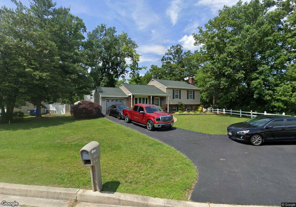
12654 Council Oak Dr Waldorf, MD 20601
Estimated Value: $414,000 - $447,837
3
Beds
3
Baths
2,720
Sq Ft
$156/Sq Ft
Est. Value
About This Home
This home is located at 12654 Council Oak Dr, Waldorf, MD 20601 and is currently estimated at $425,209, approximately $156 per square foot. 12654 Council Oak Dr is a home located in Charles County with nearby schools including J.P. Ryon Elementary School, John Hanson Middle School, and Thomas Stone High School.
Ownership History
Date
Name
Owned For
Owner Type
Purchase Details
Closed on
Jan 14, 2011
Sold by
Hendon James M and Hendon Mattie
Bought by
Barnes Grace G
Current Estimated Value
Home Financials for this Owner
Home Financials are based on the most recent Mortgage that was taken out on this home.
Original Mortgage
$194,930
Outstanding Balance
$131,105
Interest Rate
4.5%
Mortgage Type
FHA
Estimated Equity
$294,104
Purchase Details
Closed on
Mar 28, 1988
Sold by
Bowie Charles W and Bowie Lillian M
Bought by
Hendon James M and Hendon Mattie
Purchase Details
Closed on
May 14, 1985
Sold by
Curtis Bros Real Est & Ins Inc
Bought by
Bowie Charles W and Bowie Lillian M
Create a Home Valuation Report for This Property
The Home Valuation Report is an in-depth analysis detailing your home's value as well as a comparison with similar homes in the area
Home Values in the Area
Average Home Value in this Area
Purchase History
| Date | Buyer | Sale Price | Title Company |
|---|---|---|---|
| Barnes Grace G | $200,000 | -- | |
| Hendon James M | $125,900 | -- | |
| Bowie Charles W | $83,900 | -- |
Source: Public Records
Mortgage History
| Date | Status | Borrower | Loan Amount |
|---|---|---|---|
| Open | Barnes Grace G | $194,930 |
Source: Public Records
Tax History Compared to Growth
Tax History
| Year | Tax Paid | Tax Assessment Tax Assessment Total Assessment is a certain percentage of the fair market value that is determined by local assessors to be the total taxable value of land and additions on the property. | Land | Improvement |
|---|---|---|---|---|
| 2025 | $10,014 | $344,633 | -- | -- |
| 2024 | $4,346 | $332,100 | $125,200 | $206,900 |
| 2023 | $4,343 | $303,933 | $0 | $0 |
| 2022 | $3,765 | $275,767 | $0 | $0 |
| 2021 | $3,372 | $247,600 | $95,200 | $152,400 |
| 2020 | $3,372 | $239,133 | $0 | $0 |
| 2019 | $3,245 | $230,667 | $0 | $0 |
| 2018 | $3,093 | $222,200 | $90,200 | $132,000 |
| 2017 | $3,017 | $216,967 | $0 | $0 |
| 2016 | -- | $211,733 | $0 | $0 |
| 2015 | $2,985 | $206,500 | $0 | $0 |
| 2014 | $2,985 | $206,500 | $0 | $0 |
Source: Public Records
Map
Nearby Homes
- 2549 Mattawoman Beantown Rd
- 1610 Pin Oak Dr
- 1525 Pin Oak Dr
- 12720 Bar Oak Dr
- 12820 Twin Oak Dr
- 2552 Fernwood Ct
- 12606 Sub Station Rd
- 4208 Sandwich Cir
- 2650 Pinewood Dr
- 2914 Sandwich Dr
- 2002 English Oak Ct
- 4302 Sandwich Ct
- 3502 Lisa Ln
- 2204 Holly Oak Ct
- 3907 Brewster Ct
- 2290 Mattawoman Beantown Rd
- 2217 Pinefield Way
- 5026 Nicholas Rd
- 919 Truro Ln
- 1325 Harwich Dr
- 12652 Council Oak Dr
- 12653 Council Oak Dr
- 2599 Mattawoman Beantown Rd
- 12651 Council Oak Dr
- 12650 Council Oak Dr
- 2585 Mattawoman Beantown Rd
- 12649 Council Oak Dr
- 2635 Mattawoman Beantown Rd
- 12648 Council Oak Dr
- 12600 Mirkwood Ln
- 12647 Council Oak Dr
- 12598 Mirkwood Ln
- 12594 Mirkwood Ln
- 12592 Mirkwood Ln
- 12590 Mirkwood Ln
- 12646 Council Oak Dr
- 2561 Mattawoman Beantown Rd
- 12586 Mirkwood Ln
- 12584 Mirkwood Ln
- 12582 Mirkwood Ln