12654 Red Wing Rd Apple Valley, CA 92308
High Desert NeighborhoodEstimated Value: $277,000 - $388,000
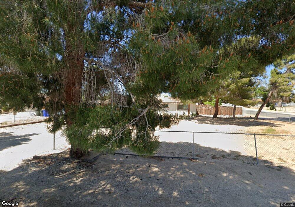
About This Home
This home is located at 12654 Red Wing Rd, Apple Valley, CA 92308 and is currently estimated at $352,884, approximately $282 per square foot. 12654 Red Wing Rd is a home located in San Bernardino County with nearby schools including Yucca Loma Elementary School and Apple Valley High School.
Ownership History
We collect this data history from publicly available records. To have your information removed, we recommend requesting removal directly through your county’s website.
Purchase Details
Home Financials for this Owner
Home Financials are based on the most recent Mortgage that was taken out on this home.Purchase Details
Purchase Details
Purchase Details
Purchase Details
Home Financials for this Owner
Home Financials are based on the most recent Mortgage that was taken out on this home.Home Values in the Area
Average Home Value in this Area
Purchase History
We collect this data history from publicly available records. To have your information removed, we recommend requesting removal directly through your county’s website.
| Date | Buyer | Sale Price | Title Company |
|---|---|---|---|
| $250,000 | Pacific Coast Title Company | ||
| -- | None Available | ||
| $44,000 | First American Title Company | ||
| $103,767 | Accommodation | ||
| $236,000 | Commonwealth Title |
Mortgage History
We collect this data history from publicly available records. To have your information removed, we recommend requesting removal directly through your county’s website.
| Date | Status | Borrower | Loan Amount |
|---|---|---|---|
| Open | $237,500 | ||
| Previous Owner | $224,000 | ||
| Previous Owner | $56,000 | ||
| Previous Owner | $188,800 |
Tax History
We collect this data history from publicly available records. To have your information removed, we recommend requesting removal directly through your county’s website.
| Year | Tax Paid | Tax Assessment Tax Assessment Total Assessment is a certain percentage of the fair market value that is determined by local assessors to be the total taxable value of land and additions on the property. | Land | Improvement |
|---|---|---|---|---|
| 2026 | $3,665 | $270,608 | $54,121 | $216,487 |
| 2025 | $3,665 | $265,302 | $53,060 | $212,242 |
| 2024 | $3,623 | $260,100 | $52,020 | $208,080 |
| 2023 | $3,496 | $255,000 | $51,000 | $204,000 |
| 2022 | $2,969 | $250,000 | $50,000 | $200,000 |
| 2021 | $882 | $65,588 | $17,887 | $47,701 |
| 2020 | $871 | $64,916 | $17,704 | $47,212 |
| 2019 | $855 | $63,643 | $17,357 | $46,286 |
| 2018 | $834 | $62,395 | $17,017 | $45,378 |
| 2017 | $822 | $61,171 | $16,683 | $44,488 |
| 2016 | $751 | $59,972 | $16,356 | $43,616 |
| 2015 | -- | $59,071 | $16,110 | $42,961 |
| 2014 | $729 | $57,913 | $15,794 | $42,119 |
Map
- 21021 Geronimo Rd
- 0 Matawan Rd
- 12348 Omak Rd
- 20958 Nisqually Rd
- 12765 Pocomoke Rd
- 21110 Multnomah Rd
- 20726 Nisqually Rd
- 12790 Patoka Ct
- 21243 Nisqually Rd
- 21011 Teton Rd
- 12365 Waynoka Rd
- 12450 Algonquin Rd
- 20404 Half Moon Ct
- 12833 Algonquin Rd
- 20924 Ponca Rd
- 21495 Minodoka Rd
- 12776 Skyline Ranch Dr
- 12744 Running Deer Rd
- 13146 Mohawk Rd
- 0 Sequoia St Unit HD26070632
- 12610 Redwing Rd
- 12624 Red Wing Rd
- 12592 Red Wing Rd
- 12640 Red Wing Rd
- 12611 Kiowa Rd
- 12611 Kiowa Rd Unit 1
- 20982 Minnetonka Rd
- 12580 Redwing Rd
- 12580 Red Wing Rd
- 12623 Kiowa Rd Unit 2
- 12623 Kiowa Rd
- 12591 Kiowa Rd
- 12577 Red Wing Rd
- 12579 Kiowa Rd
- 20994 Minnetonka Rd
- 12560 Redwing Rd
- 12645 Red Wing Rd
- 20925 Lone Eagle Rd
- 20993 Minnetonka Rd
- 12565 Kiowa Rd
Ask me questions while you tour the home.