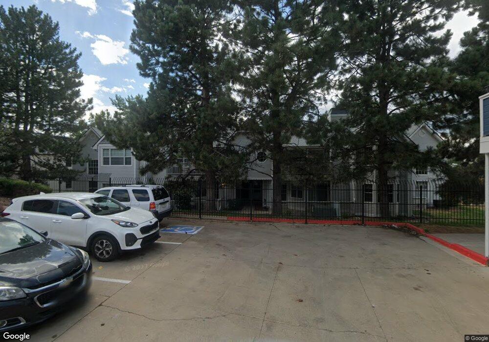
12655 E Pacific Cir Unit D Aurora, CO 80014
Heather Ridge NeighborhoodEstimated Value: $293,000 - $314,000
2
Beds
2
Baths
1,249
Sq Ft
$240/Sq Ft
Est. Value
About This Home
This home is located at 12655 E Pacific Cir Unit D, Aurora, CO 80014 and is currently estimated at $300,132, approximately $240 per square foot. 12655 E Pacific Cir Unit D is a home located in Arapahoe County with nearby schools including Ponderosa Elementary School, Prairie Middle School, and Overland High School.
Ownership History
Date
Name
Owned For
Owner Type
Purchase Details
Closed on
Feb 27, 2023
Sold by
Miller Pamela Michelle
Bought by
P M & M Enterprises Llc
Current Estimated Value
Purchase Details
Closed on
Mar 27, 1992
Sold by
Scott Daniel J
Bought by
Miller Pamela Michelle
Purchase Details
Closed on
Jun 3, 1988
Sold by
Secretary Of Housing & Urban Dev
Bought by
Scott Daniel J
Purchase Details
Closed on
Aug 24, 1987
Sold by
Conversion Arapco
Bought by
Secretary Of Housing & Urban Dev
Purchase Details
Closed on
Dec 1, 1984
Bought by
Conversion Arapco
Create a Home Valuation Report for This Property
The Home Valuation Report is an in-depth analysis detailing your home's value as well as a comparison with similar homes in the area
Home Values in the Area
Average Home Value in this Area
Purchase History
| Date | Buyer | Sale Price | Title Company |
|---|---|---|---|
| P M & M Enterprises Llc | -- | -- | |
| Miller Pamela Michelle | -- | -- | |
| Scott Daniel J | -- | -- | |
| Secretary Of Housing & Urban Dev | -- | -- | |
| Conversion Arapco | -- | -- |
Source: Public Records
Tax History Compared to Growth
Tax History
| Year | Tax Paid | Tax Assessment Tax Assessment Total Assessment is a certain percentage of the fair market value that is determined by local assessors to be the total taxable value of land and additions on the property. | Land | Improvement |
|---|---|---|---|---|
| 2024 | $1,266 | $18,304 | -- | -- |
| 2023 | $1,266 | $18,304 | $0 | $0 |
| 2022 | $1,203 | $16,604 | $0 | $0 |
| 2021 | $1,210 | $16,604 | $0 | $0 |
| 2020 | $1,206 | $16,796 | $0 | $0 |
| 2019 | $1,164 | $16,796 | $0 | $0 |
| 2018 | $928 | $12,586 | $0 | $0 |
| 2017 | $915 | $12,586 | $0 | $0 |
| 2016 | $693 | $8,939 | $0 | $0 |
| 2015 | $659 | $8,939 | $0 | $0 |
| 2014 | -- | $6,846 | $0 | $0 |
| 2013 | -- | $7,850 | $0 | $0 |
Source: Public Records
Map
Nearby Homes
- 12685 E Pacific Cir Unit C
- 12685 E Pacific Cir Unit E
- 2110 S Scranton Way
- 12573 E Pacific Cir Unit C
- 12513 E Pacific Cir Unit C
- 12440 E Pacific Cir Unit B
- 12622 E Warren Dr Unit E
- 2210 S Vaughn Way Unit 103
- 2231 S Vaughn Way Unit 118B
- 2231 S Vaughn Way Unit 114B
- 2101 S Victor St Unit B
- 2281 S Vaughn Way Unit 209A
- 2281 S Vaughn Way Unit 214A
- 2312 S Troy St Unit 2312
- 2306 S Troy St Unit A
- 13221 E Asbury Dr Unit 101
- 13241 E Asbury Dr Unit 202
- 13304 E Asbury Dr
- 12412 E Caspian Dr
- 1997 S Peoria St
- 12655 E Pacific Cir Unit F
- 12655 E Pacific Cir Unit C
- 12655 E Pacific Cir Unit B
- 12655 E Pacific Cir Unit A
- 12655 E Pacific Cir Unit D
- 12675 E Pacific Cir Unit F
- 12675 E Pacific Cir Unit E
- 12675 E Pacific Cir Unit D
- 12675 E Pacific Cir Unit B
- 12675 E Pacific Cir Unit A
- 12665 E Pacific Cir Unit F
- 12665 E Pacific Cir Unit E
- 12665 E Pacific Cir Unit D
- 12665 E Pacific Cir Unit C
- 12665 E Pacific Cir Unit B
- 12665 E Pacific Cir Unit A
- 12645 E Pacific Cir Unit F
- 12645 E Pacific Cir Unit E
- 12645 E Pacific Cir Unit D
- 12645 E Pacific Cir Unit C