12658 W 790 Rd Tahlequah, OK 74464
Estimated Value: $224,000 - $401,000
3
Beds
2
Baths
2,160
Sq Ft
$143/Sq Ft
Est. Value
About This Home
This home is located at 12658 W 790 Rd, Tahlequah, OK 74464 and is currently estimated at $308,236, approximately $142 per square foot. 12658 W 790 Rd is a home located in Cherokee County with nearby schools including Hulbert Elementary School, Hulbert Jr./Sr. High School, and Hulbert Senior High School.
Ownership History
Date
Name
Owned For
Owner Type
Purchase Details
Closed on
Dec 5, 2005
Sold by
Young Wathene
Bought by
Wyman Young Kirk Holly and Wyman Kirk
Current Estimated Value
Home Financials for this Owner
Home Financials are based on the most recent Mortgage that was taken out on this home.
Original Mortgage
$115,000
Interest Rate
6.06%
Mortgage Type
Purchase Money Mortgage
Create a Home Valuation Report for This Property
The Home Valuation Report is an in-depth analysis detailing your home's value as well as a comparison with similar homes in the area
Home Values in the Area
Average Home Value in this Area
Purchase History
| Date | Buyer | Sale Price | Title Company |
|---|---|---|---|
| Wyman Young Kirk Holly | -- | None Available |
Source: Public Records
Mortgage History
| Date | Status | Borrower | Loan Amount |
|---|---|---|---|
| Closed | Wyman Young Kirk Holly | $115,000 |
Source: Public Records
Tax History Compared to Growth
Tax History
| Year | Tax Paid | Tax Assessment Tax Assessment Total Assessment is a certain percentage of the fair market value that is determined by local assessors to be the total taxable value of land and additions on the property. | Land | Improvement |
|---|---|---|---|---|
| 2025 | $1,926 | $24,498 | $1,580 | $22,918 |
| 2024 | $1,926 | $24,993 | $1,580 | $23,413 |
| 2023 | $1,926 | $26,385 | $3,382 | $23,003 |
| 2022 | $2,056 | $26,385 | $3,382 | $23,003 |
| 2021 | $2,076 | $26,385 | $3,382 | $23,003 |
| 2020 | $2,041 | $25,776 | $3,304 | $22,472 |
| 2019 | $1,971 | $24,549 | $3,341 | $21,208 |
| 2018 | $1,901 | $23,379 | $3,182 | $20,197 |
| 2017 | $1,823 | $22,267 | $1,188 | $21,079 |
| 2016 | $1,754 | $21,206 | $2,558 | $18,648 |
| 2015 | $1,329 | $20,081 | $1,206 | $18,875 |
| 2014 | $1,329 | $19,125 | $1,149 | $17,976 |
Source: Public Records
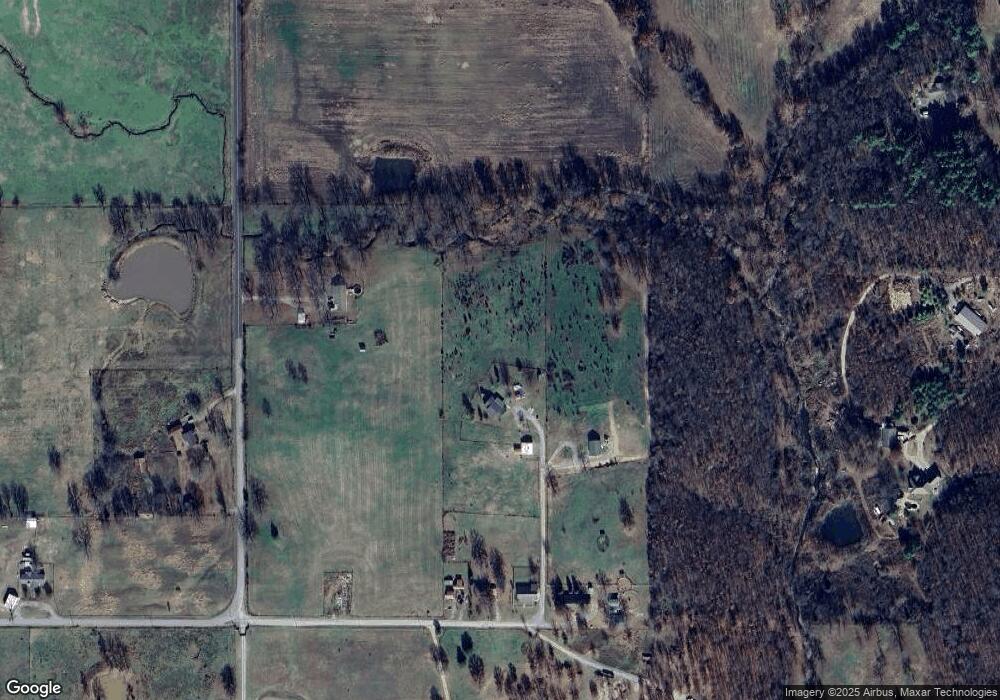
Map
Nearby Homes
- 15451 W 791 Rd
- 11396 W Joyce Ln
- 11261 Highway 51
- 10611 Oklahoma 51
- 14650 W 835 Rd
- 16840 W Sierra Cir
- 21098 S 495 Rd
- 17488 N Vaughn Rd
- 22781 S 490 Rd
- 21060 S 496 Rd
- 16605 W Sierra Cir
- 0 S 490 Rd
- 2 S 490 Rd
- 0 W Shady Ln
- 24481 S Manard Rd
- 16289 W 810 Rd
- 16809 W 790 Rd
- 17039 W Maggie Rd
- 21887 Coffee Hollow Rd
- 21149 S Highway View Dr
- 12664 W 790 Rd
- 12686 W 790 Rd
- 12638 W 790 Rd
- 12652 W 790 Rd
- 20550 S Coos Thompson Rd
- 20631 S Coos Thompson Rd
- 12623 W 790 Rd
- 20793 S 460 Rd
- 20849 S Coos Thompson Rd
- 20611 S 460 Rd
- 20991 S 460 Rd
- 20505 S 460 Rd
- 20577 S 460 Rd
- 20951 S Coos Thompson Rd
- 20336 S Coos Thompson Rd
- 20235 S 460 Rd
- 21427 S 460 Rd
- 21485 S 460 Rd
- 20234 S 460 Rd
- 13437 W 790 Rd