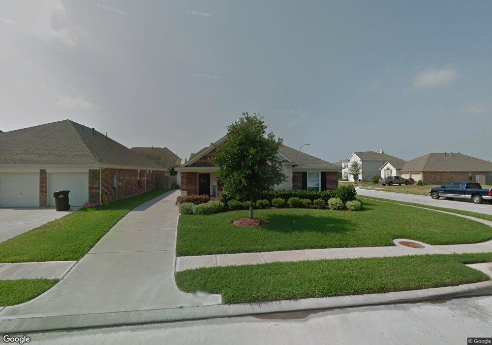
12659 Mansfield Glen Ct Unit 1 Houston, TX 77014
Northside NeighborhoodEstimated Value: $259,000 - $262,000
3
Beds
2
Baths
1,645
Sq Ft
$158/Sq Ft
Est. Value
About This Home
This home is located at 12659 Mansfield Glen Ct Unit 1, Houston, TX 77014 and is currently estimated at $260,332, approximately $158 per square foot. 12659 Mansfield Glen Ct Unit 1 is a home located in Harris County with nearby schools including Deloras E Thompson Elementary School, Stelle Claughton Middle School, and Westfield High School.
Ownership History
Date
Name
Owned For
Owner Type
Purchase Details
Closed on
Jun 14, 2007
Sold by
Perry Homes
Bought by
Smith Sherman R and Smith Donna
Current Estimated Value
Home Financials for this Owner
Home Financials are based on the most recent Mortgage that was taken out on this home.
Original Mortgage
$165,941
Outstanding Balance
$101,373
Interest Rate
6.16%
Mortgage Type
Purchase Money Mortgage
Estimated Equity
$158,959
Purchase Details
Closed on
Sep 21, 2006
Sold by
Silverglen Partners Lp
Bought by
Perry Homes
Create a Home Valuation Report for This Property
The Home Valuation Report is an in-depth analysis detailing your home's value as well as a comparison with similar homes in the area
Home Values in the Area
Average Home Value in this Area
Purchase History
| Date | Buyer | Sale Price | Title Company |
|---|---|---|---|
| Smith Sherman R | -- | Chicago Title | |
| Perry Homes | -- | Chicago Title |
Source: Public Records
Mortgage History
| Date | Status | Borrower | Loan Amount |
|---|---|---|---|
| Open | Smith Sherman R | $165,941 |
Source: Public Records
Tax History Compared to Growth
Tax History
| Year | Tax Paid | Tax Assessment Tax Assessment Total Assessment is a certain percentage of the fair market value that is determined by local assessors to be the total taxable value of land and additions on the property. | Land | Improvement |
|---|---|---|---|---|
| 2025 | $6,023 | $229,232 | $51,277 | $177,955 |
| 2024 | $6,023 | $231,107 | $51,277 | $179,830 |
| 2023 | $6,023 | $237,172 | $51,277 | $185,895 |
| 2022 | $5,542 | $205,872 | $30,105 | $175,767 |
| 2021 | $5,432 | $190,423 | $30,105 | $160,318 |
| 2020 | $5,268 | $171,069 | $30,105 | $140,964 |
| 2019 | $5,161 | $161,834 | $30,105 | $131,729 |
| 2018 | $3,960 | $156,117 | $30,105 | $126,012 |
| 2017 | $4,764 | $156,117 | $30,105 | $126,012 |
| 2016 | $4,331 | $140,936 | $30,105 | $110,831 |
| 2015 | $3,299 | $136,756 | $30,105 | $106,651 |
| 2014 | $3,299 | $113,163 | $30,105 | $83,058 |
Source: Public Records
Map
Nearby Homes
- 12638 Riverhill Ct
- 12606 Riverhill Ct
- 5519 Handlewood Ln
- 5518 Handlewood Ln
- 12818 Schiller Park Ln
- 2606 Atwood Glen Ln
- 2315 Cobbdale Ln
- 13102 Candlewood Glen Ln
- 12511 Silverwood Sands Ct
- 13231 Barrow Point Ln
- 12515 Silverwood Springs Place
- 2230 Laurel Branch Way
- 2223 Laurel Branch Way
- 12638 Silver Winter Trail
- 12415 Silversmine Dr
- 12426 Silverwyck Dr
- 2907 Silverchase Meadows Dr
- 13403 Tacoma Oaks Ln
- 2714 Glenfield Manor Ln
- 13403 Jersie Violet Ln
- 12659 Mansfield Glen Ct
- 12655 Mansfield Glen Ct
- 12651 Mansfield Glen Ct
- 12638 Colony Hill Ln
- 12634 Colony Hill Ln
- 12634R Colony Hill Ln
- 2514 Sandlewood Trail Ln
- 2510 Sandlewood Trail Ln
- 12630 Colony Hill Ln
- 12647 Mansfield Glen Ct
- 2518 Sandlewood Trail Ln
- 12654 Mansfield Glen Ct
- 2506 Sandlewood Trail Ln
- 2522 Sandlewood Trail Ln
- 12650 Mansfield Glen Ct
- 12626 Colony Hill Ln
- 2502 Sandlewood Trail Ln
- 12643 Mansfield Glen Ct
- 12646 Mansfield Glen Ct
- 2526 Sandlewood Trail Ln