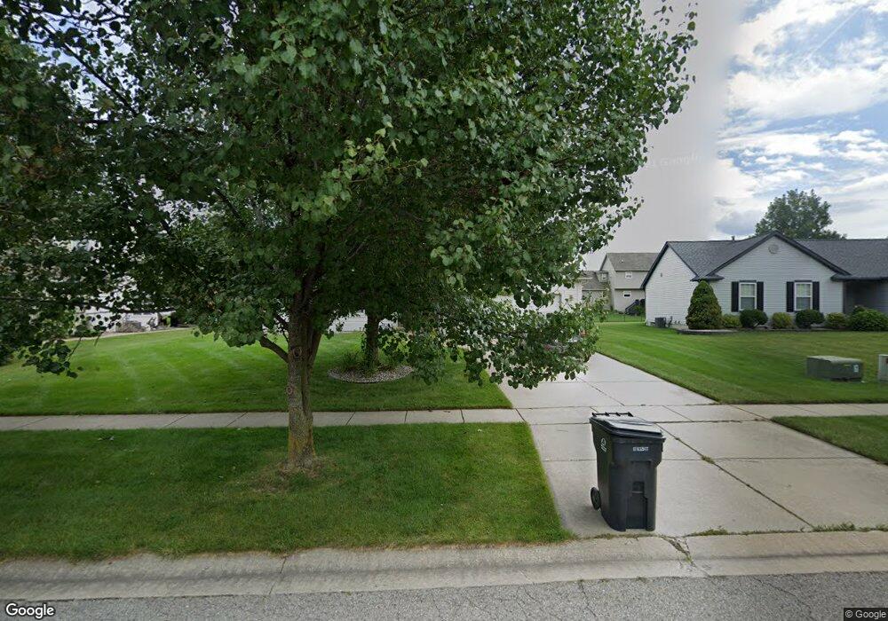
1266 Ashwood Ln Howell, MI 48843
Estimated Value: $345,776 - $362,000
3
Beds
2
Baths
1,411
Sq Ft
$252/Sq Ft
Est. Value
About This Home
This home is located at 1266 Ashwood Ln, Howell, MI 48843 and is currently estimated at $355,694, approximately $252 per square foot. 1266 Ashwood Ln is a home located in Livingston County with nearby schools including Northwest Elementary School, Highlander Way Middle School, and Howell High School.
Ownership History
Date
Name
Owned For
Owner Type
Purchase Details
Closed on
May 17, 2018
Sold by
Vandecar George E Est
Bought by
Vandecar Bonnie L
Current Estimated Value
Purchase Details
Closed on
Apr 13, 2010
Sold by
Department Of Housing And Urban Develo
Bought by
Vandecar George
Purchase Details
Closed on
Nov 16, 2009
Sold by
Bac Home Loans Servicing Lp
Bought by
Sec Of Housing And Urban Development
Purchase Details
Closed on
Jun 25, 2009
Sold by
Mortgage Electronic Registration Syste
Bought by
Bac Home Loans Servicing Lp
Purchase Details
Closed on
Aug 16, 2004
Sold by
King Laurie A
Bought by
Marlatt Robert R and Marlatt Michele
Purchase Details
Closed on
Nov 12, 1999
Sold by
Broadmoor Const & Development Corp
Bought by
King Laurie A
Create a Home Valuation Report for This Property
The Home Valuation Report is an in-depth analysis detailing your home's value as well as a comparison with similar homes in the area
Home Values in the Area
Average Home Value in this Area
Purchase History
| Date | Buyer | Sale Price | Title Company |
|---|---|---|---|
| Vandecar Bonnie L | -- | -- | |
| Vandecar George | $130,000 | -- | |
| Sec Of Housing And Urban Development | -- | -- | |
| Bac Home Loans Servicing Lp | -- | -- | |
| Marlatt Robert R | $215,000 | -- | |
| King Laurie A | $41,500 | Select Title Company |
Source: Public Records
Tax History Compared to Growth
Tax History
| Year | Tax Paid | Tax Assessment Tax Assessment Total Assessment is a certain percentage of the fair market value that is determined by local assessors to be the total taxable value of land and additions on the property. | Land | Improvement |
|---|---|---|---|---|
| 2025 | $1,446 | $160,900 | $0 | $0 |
| 2024 | $1,405 | $154,000 | $0 | $0 |
| 2023 | $1,342 | $131,800 | $0 | $0 |
| 2022 | $623 | $110,500 | $0 | $0 |
| 2021 | $1,859 | $115,900 | $0 | $0 |
| 2020 | $1,880 | $110,500 | $0 | $0 |
| 2019 | $1,853 | $103,500 | $0 | $0 |
| 2018 | $1,835 | $91,300 | $0 | $0 |
| 2017 | $1,825 | $89,000 | $0 | $0 |
| 2016 | $1,796 | $86,300 | $0 | $0 |
| 2014 | $1,681 | $74,800 | $0 | $0 |
| 2012 | $1,681 | $69,900 | $0 | $0 |
Source: Public Records
Map
Nearby Homes
- 1400 Oakcrest Rd
- 1633 Frech Ln
- 1570 Princewood Blvd
- 2511 Kerria Dr Unit 42
- 3040 Bogues View Dr
- VACANT LOT Thompson Shore Dr
- 3224 Waverly Woods Ln
- 2653 Ravine Side N
- 571 Cannonade Loop
- 523 Cannonade Loop
- 583 Cannonade Loop
- 475 Cannonade Loop
- 3227 Waverly Woods Ln
- 559 Cannonade Loop
- The Austin Plan at Broadmoor
- The Charlotte Plan at Broadmoor
- The Harrison Plan at Broadmoor
- The Bloomington Plan at Broadmoor
- The Columbia Plan at Broadmoor
- 2700 Court Ln N
- 1248 Ashwood Ln
- 1284 Ashwood Ln
- 1263 Maple Leaf Ln Unit 83
- 1281 Maple Leaf Ln
- 1245 Maple Leaf Ln
- 1302 Ashwood Ln
- 1249 Ashwood Ln
- 1269 Ashwood Ln
- 1299 Maple Leaf Ln Unit 85
- 1227 Maple Leaf Ln Unit Bldg-Unit
- 1227 Maple Leaf Ln Unit 81
- 1287 Ashwood Ln
- 1231 Ashwood Ln
- 1320 Ashwood Ln Unit 93
- 1305 Ashwood Ln Unit 24
- 1317 Maple Leaf Ln
- 1338 Ashwood Ln Unit 92
- 1268 Maple Leaf Ln
- 1250 Maple Leaf Ln Unit 73
- 1323 Ashwood Ln Unit 25