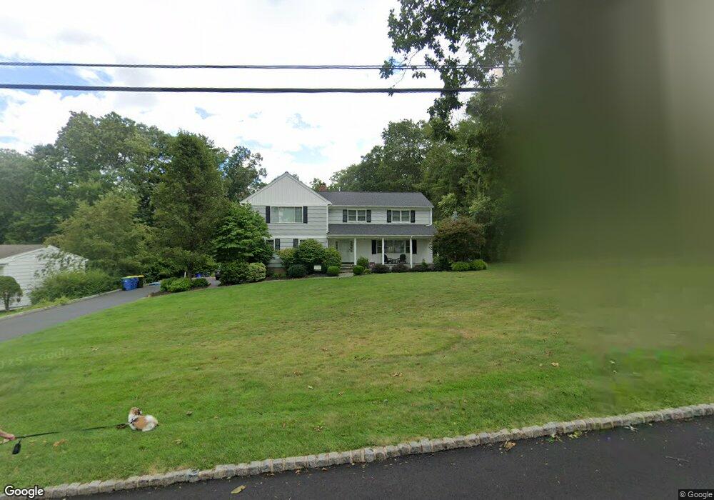
1266 Cornell Rd Bridgewater, NJ 08807
Estimated Value: $758,000 - $848,000
Studio
--
Bath
2,036
Sq Ft
$395/Sq Ft
Est. Value
About This Home
This home is located at 1266 Cornell Rd, Bridgewater, NJ 08807 and is currently estimated at $804,409, approximately $395 per square foot. 1266 Cornell Rd is a home located in Somerset County with nearby schools including Crim Primary School, Bridgewater-Raritan Middle School, and Hillside Intermediate School.
Ownership History
Date
Name
Owned For
Owner Type
Purchase Details
Closed on
Apr 30, 2007
Sold by
Franz Ruth B and Franz Jonathan
Bought by
Braswell Craig and Braswell Christine
Current Estimated Value
Home Financials for this Owner
Home Financials are based on the most recent Mortgage that was taken out on this home.
Original Mortgage
$467,500
Outstanding Balance
$285,296
Interest Rate
6.23%
Mortgage Type
Purchase Money Mortgage
Estimated Equity
$519,113
Create a Home Valuation Report for This Property
The Home Valuation Report is an in-depth analysis detailing your home's value as well as a comparison with similar homes in the area
Home Values in the Area
Average Home Value in this Area
Purchase History
| Date | Buyer | Sale Price | Title Company |
|---|---|---|---|
| Braswell Craig | $588,500 | None Available |
Source: Public Records
Mortgage History
| Date | Status | Borrower | Loan Amount |
|---|---|---|---|
| Open | Braswell Craig | $467,500 |
Source: Public Records
Tax History
| Year | Tax Paid | Tax Assessment Tax Assessment Total Assessment is a certain percentage of the fair market value that is determined by local assessors to be the total taxable value of land and additions on the property. | Land | Improvement |
|---|---|---|---|---|
| 2025 | $11,507 | $625,100 | $293,300 | $331,800 |
| 2024 | $11,507 | $590,700 | $293,300 | $297,400 |
Source: Public Records
Map
Nearby Homes
- 1930 Mountain Top Rd
- 1825 Kennesaw Way
- 816 Mine Rd
- 552 Foothill Rd
- 26 Claire Dr
- 1 Holmes Ct
- 1899 Washington Valley Rd
- 662 Foothill Rd
- 245 Leeham Ave
- 7 Tower Rd
- 11 Ash St
- 700 Half Foothill Rd
- 855 Sunset Ridge
- 6 Elm Ave
- 5 2nd St
- 698 Foothill Rd
- 45 Loft Dr Unit 45
- 2017 Washington Valley Rd
- 27 Elm Ave
- 29 Elm Ave
- 1262 Cornell Rd
- 1270 Cornell Rd
- 1260 Cornell Rd
- 1274 Cornell Rd
- 1267 Cornell Rd
- 1271 Cornell Rd
- 1256 Cornell Rd
- 1263 Cornell Rd
- 1275 Cornell Rd
- 1259 Cornell Rd
- 1250 Cornell Rd
- 1636 Southbrook Dr
- 1255 Cornell Rd
- 1641 Southbrook Dr
- 1251 Cornell Rd
- 1645 Southbrook Dr
- 1637 Southbrook Dr
- 1246 Cornell Rd
- 1632 Southbrook Dr
- 1264 Crim Rd
Your Personal Tour Guide
Ask me questions while you tour the home.