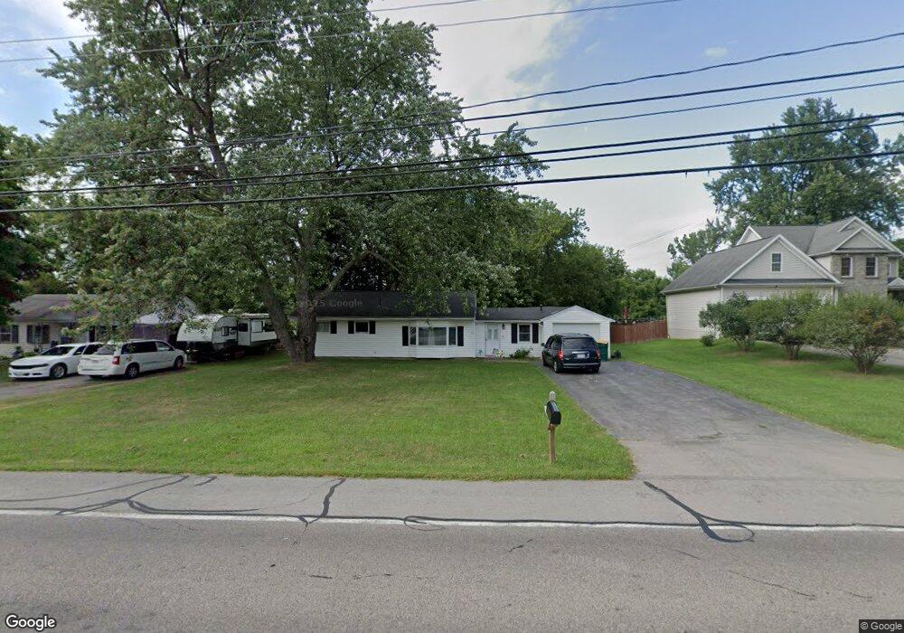
1266 State Rd Webster, NY 14580
Estimated Value: $230,029 - $274,000
3
Beds
1
Bath
1,177
Sq Ft
$216/Sq Ft
Est. Value
About This Home
This home is located at 1266 State Rd, Webster, NY 14580 and is currently estimated at $254,507, approximately $216 per square foot. 1266 State Rd is a home located in Monroe County with nearby schools including State Road Elementary School, Spry Middle School, and Webster-Schroeder High School.
Ownership History
Date
Name
Owned For
Owner Type
Purchase Details
Closed on
Nov 29, 2011
Sold by
Barco Brittany
Bought by
Boston Enterprises Llc
Current Estimated Value
Purchase Details
Closed on
Jul 14, 2006
Sold by
Johnston Raymond
Bought by
Barco Brittany
Home Financials for this Owner
Home Financials are based on the most recent Mortgage that was taken out on this home.
Original Mortgage
$94,000
Interest Rate
6.67%
Mortgage Type
Purchase Money Mortgage
Purchase Details
Closed on
May 26, 1998
Create a Home Valuation Report for This Property
The Home Valuation Report is an in-depth analysis detailing your home's value as well as a comparison with similar homes in the area
Home Values in the Area
Average Home Value in this Area
Purchase History
| Date | Buyer | Sale Price | Title Company |
|---|---|---|---|
| Boston Enterprises Llc | $51,309 | None Available | |
| Barco Brittany | $94,000 | John Demarco | |
| -- | -- | -- |
Source: Public Records
Mortgage History
| Date | Status | Borrower | Loan Amount |
|---|---|---|---|
| Previous Owner | Barco Brittany | $94,000 |
Source: Public Records
Tax History
| Year | Tax Paid | Tax Assessment Tax Assessment Total Assessment is a certain percentage of the fair market value that is determined by local assessors to be the total taxable value of land and additions on the property. | Land | Improvement |
|---|---|---|---|---|
| 2024 | $4,531 | $85,500 | $29,200 | $56,300 |
| 2023 | $4,369 | $85,500 | $29,200 | $56,300 |
| 2022 | $4,296 | $85,500 | $29,200 | $56,300 |
| 2021 | $4,262 | $85,500 | $29,200 | $56,300 |
| 2020 | $4,152 | $85,500 | $29,200 | $56,300 |
| 2019 | $3,808 | $85,500 | $29,200 | $56,300 |
| 2018 | $3,974 | $85,500 | $29,200 | $56,300 |
| 2017 | $1,721 | $85,500 | $29,200 | $56,300 |
| 2016 | $3,808 | $85,500 | $29,200 | $56,300 |
| 2015 | -- | $85,500 | $29,200 | $56,300 |
| 2014 | -- | $85,500 | $29,200 | $56,300 |
Source: Public Records
Map
Nearby Homes
- 181 Iroquois St
- 109 Cedarway Cir Unit 409
- 105 Cedarway Cir Unit 411
- 107 Cedarway Cir Unit 410
- 119 Cedarway Cir Unit 405
- 66 E Main St
- 121 E Main St
- 699 Neros Run
- 291 Maryview Dr
- 93 Kircher Park
- 1045 Fawn Wood Dr
- 34 Robert Michaels Run
- 978 State Rd
- 1020 Plank Rd
- 15 Wellsbrook Ln
- 928 Plank Rd
- 75 Southfield Dr
- 37 Southfield Dr
- 1164 Woodbridge Ln
- 5 Tall Castle Ln
- 1264 State Rd
- 1262 State Rd
- 1267 State Rd
- 1260 State Rd
- 1274 A State Rd
- 1274 State Rd Unit 1274A
- 1274 State Rd
- 1269 State Rd
- 1265 State Rd
- 1271 State Rd
- 230 Iroquois St
- 224 Iroquois St
- 224 Iroquois St Unit E
- 1263 State Rd
- 1273 State Rd
- 218 Iroquois St
- 1280 State Rd
- 18 Pontiac St
- 210 Iroquois St
- 1260 Cinnaberry Cir
Your Personal Tour Guide
Ask me questions while you tour the home.