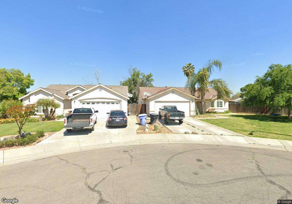
1267 Armstrong Dr Hanford, CA 93230
Estimated Value: $344,000 - $372,000
3
Beds
2
Baths
1,574
Sq Ft
$225/Sq Ft
Est. Value
About This Home
This home is located at 1267 Armstrong Dr, Hanford, CA 93230 and is currently estimated at $353,504, approximately $224 per square foot. 1267 Armstrong Dr is a home located in Kings County with nearby schools including Martin Luther King Jr. Elementary School, Woodrow Wilson Junior High School, and Hanford West High School.
Ownership History
Date
Name
Owned For
Owner Type
Purchase Details
Closed on
May 9, 2007
Sold by
Thor Ma and Yang Cindy
Bought by
Thor Ma
Current Estimated Value
Home Financials for this Owner
Home Financials are based on the most recent Mortgage that was taken out on this home.
Original Mortgage
$165,000
Outstanding Balance
$100,419
Interest Rate
6.18%
Mortgage Type
New Conventional
Estimated Equity
$253,085
Purchase Details
Closed on
Nov 16, 2004
Sold by
Hakkoh Development Inc
Bought by
Thor Ma
Home Financials for this Owner
Home Financials are based on the most recent Mortgage that was taken out on this home.
Original Mortgage
$157,617
Interest Rate
7.39%
Mortgage Type
Purchase Money Mortgage
Create a Home Valuation Report for This Property
The Home Valuation Report is an in-depth analysis detailing your home's value as well as a comparison with similar homes in the area
Home Values in the Area
Average Home Value in this Area
Purchase History
We collect this data history from publicly available records. To have your information removed, we recommend requesting removal directly through your county’s website.
| Date | Buyer | Sale Price | Title Company |
|---|---|---|---|
| Thor Ma | -- | Chicago Title Co | |
| Thor Ma | $176,000 | Stewart Title Co |
Source: Public Records
Mortgage History
We collect this data history from publicly available records. To have your information removed, we recommend requesting removal directly through your county’s website.
| Date | Status | Borrower | Loan Amount |
|---|---|---|---|
| Open | Thor Ma | $165,000 | |
| Previous Owner | Thor Ma | $157,617 |
Source: Public Records
Tax History
| Year | Tax Paid | Tax Assessment Tax Assessment Total Assessment is a certain percentage of the fair market value that is determined by local assessors to be the total taxable value of land and additions on the property. | Land | Improvement |
|---|---|---|---|---|
| 2025 | $2,650 | $245,185 | $76,663 | $168,522 |
| 2023 | $2,650 | $235,666 | $73,687 | $161,979 |
| 2022 | $2,593 | $231,046 | $72,243 | $158,803 |
| 2021 | $2,536 | $226,517 | $70,827 | $155,690 |
| 2020 | $2,561 | $224,195 | $70,101 | $154,094 |
| 2019 | $2,385 | $208,000 | $70,000 | $138,000 |
| 2018 | $2,077 | $182,500 | $70,000 | $112,500 |
| 2017 | $2,002 | $175,000 | $70,000 | $105,000 |
| 2016 | $1,959 | $170,000 | $60,000 | $110,000 |
| 2015 | $2,175 | $187,500 | $60,000 | $127,500 |
| 2014 | $1,618 | $138,626 | $30,136 | $108,490 |
Source: Public Records
Map
Nearby Homes
- 1229 S Anacapa Ave
- 1035 1035 Olive Ct
- 1443 Sidonia St
- 1383 Manor Ave
- 11510 Echo Ln
- 1356 W Annika
- 1406 Bengston Ave
- 11071 Hume Ave
- 651 Olive Ave
- 11128 San Madina Dr
- 1247 Davis St
- 19 L Evergreen Ln
- 22 L Evergreen Ln
- 10555 Hanford Armona Rd
- 10531 Hanford Armona Rd
- 670 Grant St
- 1452 S Polar Ave
- 1772 S Red Rock Dr
- 10955 Abby Ln
- 1167 Cling Cir
- 1277 Armstrong Dr
- 1266 Armstrong Dr
- 1273 Milpas St
- 1255 Milpas St
- 1281 Milpas St
- 1293 Armstrong Dr
- 1274 Armstrong Dr
- 1290 Armstrong Dr
- 1305 Armstrong Dr
- 1223 Milpas St
- 1198 W Edison Ct
- 1296 S 11 1/2 Ave
- 1209 Milpas St
- 1301 Pasteur Ct
- 1308 Armstrong Dr
- 1301 Carmel Way
- 1258 Milpas St
- 1311 Armstrong Dr
- 1174 W Edison Ct
- 1177 Milpas St
Your Personal Tour Guide
Ask me questions while you tour the home.