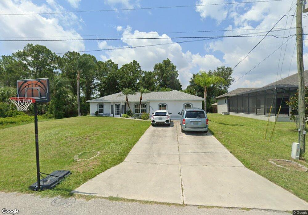
1267 Banter Cir North Port, FL 34288
Estimated Value: $290,247 - $358,000
3
Beds
2
Baths
1,792
Sq Ft
$177/Sq Ft
Est. Value
About This Home
This home is located at 1267 Banter Cir, North Port, FL 34288 and is currently estimated at $317,812, approximately $177 per square foot. 1267 Banter Cir is a home located in Sarasota County with nearby schools including Toledo Blade Elementary School, North Port High School, and Woodland Middle School.
Ownership History
Date
Name
Owned For
Owner Type
Purchase Details
Closed on
Sep 5, 2003
Sold by
Residential Dev Corp
Bought by
Bennett James P and Bennett Jessica A
Current Estimated Value
Home Financials for this Owner
Home Financials are based on the most recent Mortgage that was taken out on this home.
Original Mortgage
$116,379
Outstanding Balance
$54,137
Interest Rate
6.28%
Mortgage Type
FHA
Estimated Equity
$263,675
Purchase Details
Closed on
Jul 31, 2002
Sold by
Clerk Circuit Court
Bought by
Residential Dev Corp
Create a Home Valuation Report for This Property
The Home Valuation Report is an in-depth analysis detailing your home's value as well as a comparison with similar homes in the area
Home Values in the Area
Average Home Value in this Area
Purchase History
| Date | Buyer | Sale Price | Title Company |
|---|---|---|---|
| Bennett James P | $117,300 | -- | |
| Residential Dev Corp | $1,700 | -- |
Source: Public Records
Mortgage History
| Date | Status | Borrower | Loan Amount |
|---|---|---|---|
| Open | Bennett James P | $116,379 |
Source: Public Records
Tax History Compared to Growth
Tax History
| Year | Tax Paid | Tax Assessment Tax Assessment Total Assessment is a certain percentage of the fair market value that is determined by local assessors to be the total taxable value of land and additions on the property. | Land | Improvement |
|---|---|---|---|---|
| 2024 | $1,921 | $117,172 | -- | -- |
| 2023 | $1,921 | $113,759 | $0 | $0 |
| 2022 | $1,500 | $88,892 | $0 | $0 |
| 2021 | $1,472 | $86,303 | $0 | $0 |
| 2020 | $1,440 | $85,111 | $0 | $0 |
| 2019 | $1,394 | $83,197 | $0 | $0 |
| 2018 | $1,274 | $81,646 | $0 | $0 |
| 2017 | $1,226 | $79,967 | $0 | $0 |
| 2016 | $1,222 | $122,100 | $4,900 | $117,200 |
| 2015 | $1,234 | $106,500 | $4,600 | $101,900 |
| 2014 | $1,211 | $76,021 | $0 | $0 |
Source: Public Records
Map
Nearby Homes
- 1296 Banter Cir
- 1221 Calgary Rd
- 2497 Amnesty Dr
- Palmetto Plan at North Port
- Siesta Key Plan at North Port - Port Charlotte
- Tortuga Plan at North Port
- Cedar Key Plan at North Port - Port Charlotte
- Captiva Plan at North Port
- Vero Plan at North Port - Port Charlotte
- Palm Beach Plan at North Port - Port Charlotte
- Marco Plan at North Port - Port Charlotte
- Estero II Plan at North Port - Port Charlotte
- Delray Plan at North Port
- Marco Plan at North Port
- Avalon Plan at North Port
- Lido Key Plan at North Port - Port Charlotte
- Caladesi Plan at North Port - Port Charlotte
- Brickell Plan at North Port - Port Charlotte
- Vero Plan at North Port
- San Marino Plan at North Port
- 1315 Napoleon Rd
- 1393 Cathedall Ave
- 1227 Banter Cir
- 1236 Banter Cir
- 1339 Cathedall Ave
- 0 Napolean Rd Unit N6120915
- 1196 Banter Cir
- 1374 Cathedall Ave
- 1294 Napoleon Rd
- 1360 Napoleon Rd
- 1356 Cathedall Ave
- 1382 Napoleon Rd
- 1176 Banter Cir
- 1143 Napoleon Rd
- 1431 Napoleon Rd
- 1402 Napoleon Rd
- 1156 Banter Cir Unit 1
- 1156 Banter Cir Unit 1156
- 1156 Banter Cir
- 1249 Eliza Ct