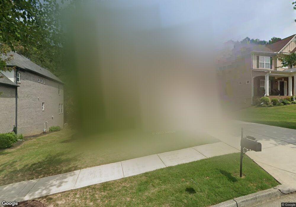
1267 Clear Stream Ridge Unit 32A Auburn, GA 30011
Estimated Value: $582,000 - $593,000
4
Beds
4
Baths
3,574
Sq Ft
$164/Sq Ft
Est. Value
About This Home
This home is located at 1267 Clear Stream Ridge Unit 32A, Auburn, GA 30011 and is currently estimated at $587,274, approximately $164 per square foot. 1267 Clear Stream Ridge Unit 32A is a home located in Gwinnett County with nearby schools including Mulberry Elementary School, Dacula Middle School, and Dacula High School.
Ownership History
Date
Name
Owned For
Owner Type
Purchase Details
Closed on
Jun 29, 2015
Sold by
The Ryland Grp Inc
Bought by
Laprad Carol B and Laprad Gary L
Current Estimated Value
Home Financials for this Owner
Home Financials are based on the most recent Mortgage that was taken out on this home.
Original Mortgage
$252,000
Outstanding Balance
$195,877
Interest Rate
3.93%
Mortgage Type
New Conventional
Estimated Equity
$391,397
Purchase Details
Closed on
Mar 26, 2015
Sold by
The Ryland Grp Inc
Bought by
Carlton Richard and Carlton Jennifer L
Create a Home Valuation Report for This Property
The Home Valuation Report is an in-depth analysis detailing your home's value as well as a comparison with similar homes in the area
Home Values in the Area
Average Home Value in this Area
Purchase History
| Date | Buyer | Sale Price | Title Company |
|---|---|---|---|
| Laprad Carol B | $315,000 | -- | |
| Carlton Richard | $303,900 | -- |
Source: Public Records
Mortgage History
| Date | Status | Borrower | Loan Amount |
|---|---|---|---|
| Open | Laprad Carol B | $252,000 |
Source: Public Records
Tax History Compared to Growth
Tax History
| Year | Tax Paid | Tax Assessment Tax Assessment Total Assessment is a certain percentage of the fair market value that is determined by local assessors to be the total taxable value of land and additions on the property. | Land | Improvement |
|---|---|---|---|---|
| 2025 | $6,594 | $255,200 | $30,000 | $225,200 |
| 2024 | $6,180 | $223,080 | $32,800 | $190,280 |
| 2023 | $6,180 | $221,240 | $32,800 | $188,440 |
| 2022 | $5,508 | $191,480 | $28,000 | $163,480 |
| 2021 | $4,601 | $140,960 | $22,400 | $118,560 |
| 2020 | $4,541 | $136,680 | $18,400 | $118,280 |
| 2019 | $4,409 | $136,680 | $18,400 | $118,280 |
| 2018 | $4,408 | $136,680 | $18,400 | $118,280 |
| 2016 | $3,987 | $116,320 | $12,800 | $103,520 |
| 2015 | $3,814 | $100,040 | $12,800 | $87,240 |
| 2014 | -- | $7,200 | $7,200 | $0 |
Source: Public Records
Map
Nearby Homes
- 1267 Clear Stream Ridge Unit 32
- 1257 Clear Stream Ridge
- 1277 Clear Stream Ridge
- 1287 Clear Stream Ridge
- 1247 Clear Stream Ridge Unit 30A
- 1247 Clear Stream Ridge
- 1266 Clear Stream Ridge Unit 40
- 1266 Clear Stream Ridge
- 1276 Clear Stream
- 1256 Clear Stream Ridge Unit 41A
- 1256 Clear Stream Ridge
- 1276 Clear Stream Ridge Unit 39A
- 1276 Clear Stream Ridge
- 1246 Clear Stream
- 1246 Clear Stream Ridge
- 1246 Clear Stream Ridge Unit 42
- 1286 Clear Stream Ridge
- 1297 Clear Stream Ridge
- 1237 Clear Stream Ridge Unit 29A
- 1237 Clear Stream Ridge