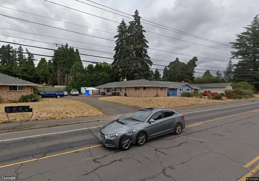
1267 E Main St Hillsboro, OR 97123
Central Hillsboro NeighborhoodEstimated Value: $494,000 - $544,000
4
Beds
2
Baths
1,728
Sq Ft
$302/Sq Ft
Est. Value
About This Home
This home is located at 1267 E Main St, Hillsboro, OR 97123 and is currently estimated at $521,511, approximately $301 per square foot. 1267 E Main St is a home located in Washington County with nearby schools including Eastwood Elementary School, J.W. Poynter Middle School, and Liberty High School.
Ownership History
Date
Name
Owned For
Owner Type
Purchase Details
Closed on
May 24, 2011
Sold by
Samson Nancy
Bought by
Bailey Abdul M
Current Estimated Value
Home Financials for this Owner
Home Financials are based on the most recent Mortgage that was taken out on this home.
Original Mortgage
$165,000
Outstanding Balance
$114,456
Interest Rate
4.84%
Mortgage Type
New Conventional
Estimated Equity
$407,055
Purchase Details
Closed on
Aug 16, 1993
Sold by
Filey Sharon
Bought by
Samson Nancy
Create a Home Valuation Report for This Property
The Home Valuation Report is an in-depth analysis detailing your home's value as well as a comparison with similar homes in the area
Home Values in the Area
Average Home Value in this Area
Purchase History
| Date | Buyer | Sale Price | Title Company |
|---|---|---|---|
| Bailey Abdul M | $220,000 | Wfg Title | |
| Samson Nancy | $2,000 | Transnation Title Insurance |
Source: Public Records
Mortgage History
| Date | Status | Borrower | Loan Amount |
|---|---|---|---|
| Open | Bailey Abdul M | $165,000 |
Source: Public Records
Tax History Compared to Growth
Tax History
| Year | Tax Paid | Tax Assessment Tax Assessment Total Assessment is a certain percentage of the fair market value that is determined by local assessors to be the total taxable value of land and additions on the property. | Land | Improvement |
|---|---|---|---|---|
| 2025 | $3,616 | $221,240 | -- | -- |
| 2024 | $3,514 | $214,800 | -- | -- |
| 2023 | $3,514 | $208,550 | $0 | $0 |
| 2022 | $3,418 | $208,550 | $0 | $0 |
| 2021 | $3,350 | $196,590 | $0 | $0 |
| 2020 | $3,278 | $190,870 | $0 | $0 |
| 2019 | $3,183 | $185,320 | $0 | $0 |
| 2018 | $3,047 | $179,930 | $0 | $0 |
| 2017 | $2,937 | $174,690 | $0 | $0 |
| 2016 | $2,856 | $169,610 | $0 | $0 |
| 2015 | $2,741 | $164,670 | $0 | $0 |
| 2014 | $2,726 | $159,880 | $0 | $0 |
Source: Public Records
Map
Nearby Homes
- 1112 E Main St
- 960 E Main St
- 1518 SE Oak St Unit 2
- 1184 NE Turner Dr
- 1043 NE Sturgess Ave
- 461 NE 16th Ave
- 1303 NE Cornell Rd
- 1470 SE Walnut St Unit 210
- 349 SE Walnut St
- 0 SE Cedar St
- 1269 NE Grant St
- 674 SE 11th Ave
- 1107 SE Maple St
- 844 SE Cedar St
- 439 SE 24th Ave
- 624 NE Edison St
- 635 SE Walnut St
- 2411 NE Hyde St
- 875 SE 13th Ave
- 511 NE Lincoln St
- 1283 E Main St
- 1251 E Main St
- 124 NE Lincoln Ct
- 1307 E Main St
- 110 NE 12th Ave
- 138 NE Lincoln Ctpvrm Unit *VRM
- 138 NE Lincoln Ct
- 135 NE Lincoln Ct
- 130 NE 12th Ave
- 1250 E Main St
- 1335 E Main St
- 148 NE 12th Ave
- 156 NE Lincoln Ct
- 145 NE Lincoln Ct
- 113 NE 12th Ave
- 107 NE 14th Ave
- 127 NE 14th Ave
- 133 NE 12th Ave
- 163 NE Lincoln Ct
- 166 NE Lincoln Ct