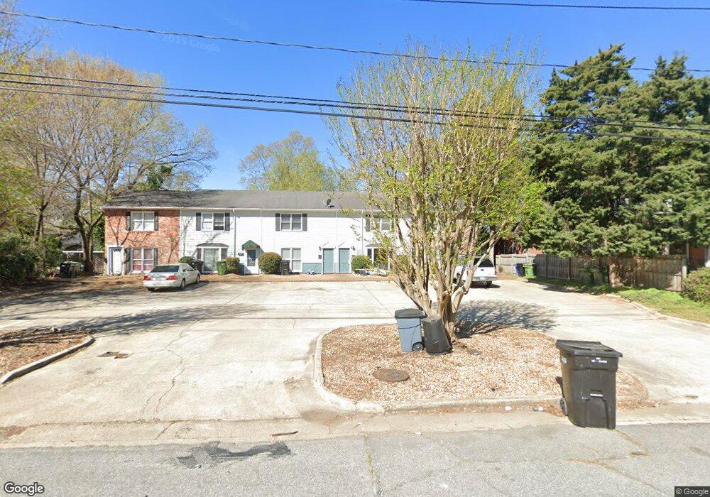
1267 Eberhart Ave Columbus, GA 31906
Wynnton Village NeighborhoodEstimated Value: $106,326 - $151,000
2
Beds
2
Baths
1,260
Sq Ft
$102/Sq Ft
Est. Value
About This Home
This home is located at 1267 Eberhart Ave, Columbus, GA 31906 and is currently estimated at $128,332, approximately $101 per square foot. 1267 Eberhart Ave is a home located in Muscogee County with nearby schools including Richards Middle School, Hardaway High School, and Wynnton Elementary School.
Ownership History
Date
Name
Owned For
Owner Type
Purchase Details
Closed on
Sep 1, 2020
Sold by
Parker & Hudson Llc
Bought by
Greenlite Properties Llc
Current Estimated Value
Purchase Details
Closed on
Jun 21, 2010
Sold by
Alexander Walter Q and Alexander John A
Bought by
Alexander Comer J
Home Financials for this Owner
Home Financials are based on the most recent Mortgage that was taken out on this home.
Original Mortgage
$30,000
Interest Rate
4.97%
Mortgage Type
Seller Take Back
Create a Home Valuation Report for This Property
The Home Valuation Report is an in-depth analysis detailing your home's value as well as a comparison with similar homes in the area
Home Values in the Area
Average Home Value in this Area
Purchase History
| Date | Buyer | Sale Price | Title Company |
|---|---|---|---|
| Greenlite Properties Llc | $165,000 | -- | |
| Alexander Comer J | $30,000 | None Available |
Source: Public Records
Mortgage History
| Date | Status | Borrower | Loan Amount |
|---|---|---|---|
| Previous Owner | Alexander Comer J | $30,000 |
Source: Public Records
Tax History
| Year | Tax Paid | Tax Assessment Tax Assessment Total Assessment is a certain percentage of the fair market value that is determined by local assessors to be the total taxable value of land and additions on the property. | Land | Improvement |
|---|---|---|---|---|
| 2025 | $1,435 | $36,648 | $3,908 | $32,740 |
| 2024 | $1,435 | $36,648 | $3,908 | $32,740 |
| 2023 | $1,444 | $36,648 | $3,908 | $32,740 |
| 2022 | $1,018 | $24,944 | $3,908 | $21,036 |
| 2021 | $872 | $21,320 | $3,259 | $18,061 |
| 2020 | $1,044 | $25,564 | $3,908 | $21,656 |
| 2019 | $1,047 | $25,564 | $3,908 | $21,656 |
| 2018 | $1,047 | $25,564 | $3,908 | $21,656 |
| 2017 | $1,051 | $25,564 | $3,908 | $21,656 |
| 2016 | $1,034 | $25,068 | $3,994 | $21,074 |
| 2015 | $1,035 | $25,068 | $3,994 | $21,074 |
| 2014 | $1,037 | $25,068 | $3,994 | $21,074 |
| 2013 | -- | $25,068 | $3,994 | $21,074 |
Source: Public Records
Map
Nearby Homes
- 1255 Cedar Ave Unit 6
- 1254 18th Ave
- 1228 Cedar Ave
- 1242 18th Ave
- 2133 13th St
- 2134 13th St
- 2222 13th St
- 2551 Wynnton Rd
- 1620 Springer St
- 1431 16th Ave
- 1500 E Dinglewood Dr
- 1505 16th Ave
- 1641 16th Ave
- 2429 Bell St
- 1164 Tate Dr
- 1333 Springer St
- 1342 16th St
- 1348 Rhodes St
- 1001 Blandford Ave
- 1817 18th Ave
- 1265 Eberhart Ave
- 1269 Eberhart Ave
- 1263 Eberhart Ave
- 1261 Eberhart Ave
- 1275 Eberhart Ave
- 1259 Eberhart Ave
- 1277 Eberhart Ave
- 1240 Munro Ave
- 1252 Munro Ave
- 1253 Eberhart Ave
- 1285 Eberhart Ave
- 1266 Eberhart Ave
- 1232 Munro Ave
- 1260 Munro Ave
- 1230 Munro Ave
- 1256 Eberhart Ave Unit B
- 1256 Eberhart Ave
- 2004 13th St
- 1226 Munro Ave
- 1249 Eberhart Ave
Your Personal Tour Guide
Ask me questions while you tour the home.