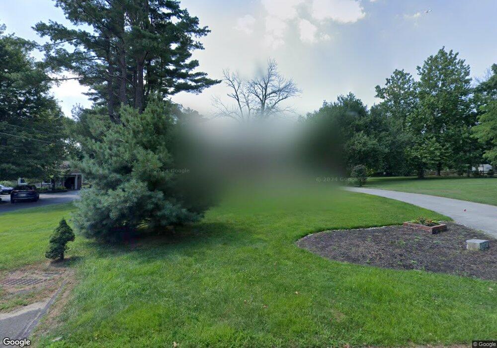
1267 Kay Dr E Cherry Hill, NJ 08034
Estimated Value: $926,000 - $1,411,250
--
Bed
--
Bath
5,170
Sq Ft
$220/Sq Ft
Est. Value
About This Home
This home is located at 1267 Kay Dr E, Cherry Hill, NJ 08034 and is currently estimated at $1,139,813, approximately $220 per square foot. 1267 Kay Dr E is a home located in Camden County with nearby schools including A. Russell Knight Elementary School, John A Carusi Middle School, and Cherry Hill High-West High School.
Ownership History
Date
Name
Owned For
Owner Type
Purchase Details
Closed on
Jan 15, 2021
Sold by
Carroll Thomas J and Carroll Diane
Bought by
Carroll Diane
Current Estimated Value
Purchase Details
Closed on
Mar 27, 1989
Bought by
Carroll Thomas and Carroll Diane
Create a Home Valuation Report for This Property
The Home Valuation Report is an in-depth analysis detailing your home's value as well as a comparison with similar homes in the area
Home Values in the Area
Average Home Value in this Area
Purchase History
| Date | Buyer | Sale Price | Title Company |
|---|---|---|---|
| Carroll Diane | -- | None Available | |
| Carroll Thomas | $300,000 | -- |
Source: Public Records
Tax History Compared to Growth
Tax History
| Year | Tax Paid | Tax Assessment Tax Assessment Total Assessment is a certain percentage of the fair market value that is determined by local assessors to be the total taxable value of land and additions on the property. | Land | Improvement |
|---|---|---|---|---|
| 2025 | $34,981 | $784,500 | $207,500 | $577,000 |
| 2024 | $32,965 | $784,500 | $207,500 | $577,000 |
| 2023 | $32,965 | $784,500 | $207,500 | $577,000 |
| 2022 | $32,055 | $784,500 | $207,500 | $577,000 |
| 2021 | $32,157 | $784,500 | $207,500 | $577,000 |
| 2020 | $31,764 | $784,500 | $207,500 | $577,000 |
| 2019 | $31,749 | $784,500 | $207,500 | $577,000 |
| 2018 | $31,662 | $784,500 | $207,500 | $577,000 |
| 2017 | $31,231 | $784,500 | $207,500 | $577,000 |
| 2016 | $30,815 | $784,500 | $207,500 | $577,000 |
| 2015 | $30,079 | $784,500 | $207,500 | $577,000 |
| 2014 | $29,741 | $784,500 | $207,500 | $577,000 |
Source: Public Records
Map
Nearby Homes
- 130 Pearl Croft Rd
- 1227 Cotswold Ln
- 217 Redstone Ridge
- 124 Edison Rd
- 115 Edison Rd
- 4514 Champions Run Unit 4514
- 109 Old Carriage Rd
- 1217 Forge Rd
- 100 Park Blvd Unit 20C
- 100 Park Blvd Unit 75B
- 100 Park Blvd Unit 44D
- 100 Park Blvd Unit 88 C
- 100 Park Blvd Unit 2D
- 110 Barclay Ln
- 16 Churchill Rd
- 505 Fern Ave
- 1216 Wyndmoor Rd
- 6 Queens Place
- 1324 Charleston Rd
- 314 Covered Bridge Rd
