1267 Main St Apollo, PA 15613
Estimated Value: $83,000 - $220,000
3
Beds
1
Bath
1,296
Sq Ft
$119/Sq Ft
Est. Value
About This Home
This home is located at 1267 Main St, Apollo, PA 15613 and is currently estimated at $154,004, approximately $118 per square foot. 1267 Main St is a home.
Ownership History
Date
Name
Owned For
Owner Type
Purchase Details
Closed on
Dec 5, 2019
Sold by
Bayview Financial Property Trust
Bought by
Reiter Douglas E and Reiter Catheine A
Current Estimated Value
Purchase Details
Closed on
Jun 27, 2007
Sold by
Stewardship Fund Lp
Bought by
Bayview Financial Property Trust
Purchase Details
Closed on
Aug 11, 2006
Sold by
Stewardship Fund Lp
Bought by
Reiter Douglas E and Reiter Catherine A
Purchase Details
Closed on
Sep 20, 2005
Sold by
Wachovia Bank Na
Bought by
Stewardship Fund Lp
Purchase Details
Closed on
Apr 13, 2005
Sold by
Swartz Gary L and Swartz Jerry D
Bought by
Homeq Servicing Corporation and Tms Mortgage Inc
Purchase Details
Closed on
Apr 26, 1979
Create a Home Valuation Report for This Property
The Home Valuation Report is an in-depth analysis detailing your home's value as well as a comparison with similar homes in the area
Home Values in the Area
Average Home Value in this Area
Purchase History
| Date | Buyer | Sale Price | Title Company |
|---|---|---|---|
| Reiter Douglas E | $20,000 | None Available | |
| Bayview Financial Property Trust | $21,000 | None Available | |
| Reiter Douglas E | $27,000 | None Available | |
| Stewardship Fund Lp | $15,500 | First American Title Insuran | |
| Wachovia Bank N A | -- | First American Title Insuran | |
| Homeq Servicing Corporation | $5,412 | None Available | |
| -- | $1,000 | -- |
Source: Public Records
Tax History
| Year | Tax Paid | Tax Assessment Tax Assessment Total Assessment is a certain percentage of the fair market value that is determined by local assessors to be the total taxable value of land and additions on the property. | Land | Improvement |
|---|---|---|---|---|
| 2025 | $1,512 | $15,800 | $9,650 | $6,150 |
| 2024 | $1,405 | $15,800 | $9,650 | $6,150 |
| 2023 | $963 | $15,800 | $9,650 | $6,150 |
| 2022 | $952 | $15,800 | $9,650 | $6,150 |
| 2021 | $935 | $15,800 | $9,650 | $6,150 |
| 2020 | $935 | $15,800 | $9,650 | $6,150 |
| 2019 | $930 | $17,500 | $10,500 | $7,000 |
| 2018 | $930 | $15,000 | $5,000 | $10,000 |
| 2017 | $925 | $17,500 | $10,500 | $7,000 |
| 2016 | $925 | $17,500 | $10,500 | $7,000 |
| 2015 | $839 | $17,500 | $10,500 | $7,000 |
| 2014 | $839 | $17,500 | $10,500 | $7,000 |
Source: Public Records
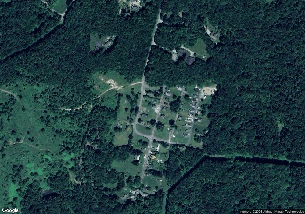
Map
Nearby Homes
- Lot 10 Beulah Church Rd
- Lot A1 Guthrie Rd
- Lot A3 Guthrie Rd
- Lot A2 Guthrie Rd
- 813 Edmon Rd
- 4416 State Route 819
- 140 High St
- 107 Moglia Ln
- 115 Truxall Rd
- 107 High St
- 225 Kochka Dr
- 4765 Pennsylvania 981
- 309 Whitesell St
- 428 Meadows Dr
- 311 & 313 N 2nd St
- 531 5th Ave
- 28 Indiana Ave
- 1239 Old State Rd
- 100 2nd St
- 604 Patterson Rd
- 1318 Brownstown Rd
- 1351 Brownstown Rd
- 1275 Main St
- 1312 Brownstown Rd
- 1308 Brownstown Rd
- 1304 Brownstown Rd
- 1319 Brownstown Rd
- 1325 Brownstown Rd
- 1325 Brownstown Rd
- 1280 Main St
- 1305 Brownstown Rd
- 1305 Brownstown Rd
- 1204 Brownstown Rd
- 1445 2nd St
- 1437 2nd St
- 1433 2nd St
- 1441 2nd St
- 1343 Brownstown Rd
- 1429 2nd St
- 1449 2nd St
Your Personal Tour Guide
Ask me questions while you tour the home.