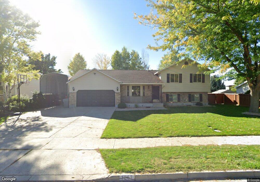
1267 N 320 W American Fork, UT 84003
Estimated Value: $549,000 - $633,000
4
Beds
3
Baths
2,167
Sq Ft
$272/Sq Ft
Est. Value
About This Home
This home is located at 1267 N 320 W, American Fork, UT 84003 and is currently estimated at $590,161, approximately $272 per square foot. 1267 N 320 W is a home located in Utah County with nearby schools including Legacy Elementary School, American Fork Junior High School, and American Fork High School.
Ownership History
Date
Name
Owned For
Owner Type
Purchase Details
Closed on
Jun 13, 2022
Sold by
Scott Keetch Brandon
Bought by
Memmott Hunter and Memmott Katelyn
Current Estimated Value
Home Financials for this Owner
Home Financials are based on the most recent Mortgage that was taken out on this home.
Original Mortgage
$355,000
Outstanding Balance
$337,872
Interest Rate
5.3%
Mortgage Type
New Conventional
Estimated Equity
$252,289
Purchase Details
Closed on
Feb 6, 2017
Sold by
Keetch Brandon and Keetch Cyndie
Bought by
Keetch Brandon Scott and Keetch Cynthia Ann
Purchase Details
Closed on
Jun 20, 2001
Sold by
Anderson Danny A and Anderson Debra K
Bought by
Keetch Brandon and Keetch Cyndie
Create a Home Valuation Report for This Property
The Home Valuation Report is an in-depth analysis detailing your home's value as well as a comparison with similar homes in the area
Home Values in the Area
Average Home Value in this Area
Purchase History
| Date | Buyer | Sale Price | Title Company |
|---|---|---|---|
| Memmott Hunter | -- | Meridian Title | |
| Keetch Brandon Scott | -- | None Available | |
| Keetch Brandon | -- | Equity Title Agency Inc | |
| Keetch Brandon | -- | Equity Title Agency Inc |
Source: Public Records
Mortgage History
| Date | Status | Borrower | Loan Amount |
|---|---|---|---|
| Open | Memmott Hunter | $355,000 |
Source: Public Records
Tax History Compared to Growth
Tax History
| Year | Tax Paid | Tax Assessment Tax Assessment Total Assessment is a certain percentage of the fair market value that is determined by local assessors to be the total taxable value of land and additions on the property. | Land | Improvement |
|---|---|---|---|---|
| 2025 | $2,366 | $294,470 | $221,400 | $314,000 |
| 2024 | $2,366 | $262,900 | $0 | $0 |
| 2023 | $2,215 | $260,920 | $0 | $0 |
| 2022 | $2,309 | $268,455 | $0 | $0 |
| 2021 | $1,975 | $358,600 | $158,900 | $199,700 |
| 2020 | $1,846 | $325,100 | $141,900 | $183,200 |
| 2019 | $1,668 | $303,800 | $131,200 | $172,600 |
| 2018 | $1,574 | $274,200 | $124,100 | $150,100 |
| 2017 | $1,505 | $141,460 | $0 | $0 |
| 2016 | $1,378 | $120,340 | $0 | $0 |
| 2015 | $1,392 | $115,390 | $0 | $0 |
| 2014 | $1,350 | $110,330 | $0 | $0 |
Source: Public Records
Map
Nearby Homes
- 356 W 1300 N
- 287 W 1360 N
- 359 W 1120 N
- 179 W 1290 N
- 1438 N 400 W
- 344 W 1080 N
- 425 W 1120 N
- 471 W 1040 N
- 35 W 1350 N
- 16 E 1400 N
- 9780 N 6000 W
- 602 W 860 N
- 9435 N Aspen Hollow Cir
- 10238 N 6530 W Unit 15
- 1082 N 390 E Unit 111
- 5284 N 11200 W Unit 3
- 1051 N 390 E Unit 103
- 6079 W Whisper Ln Unit 404
- 1089 N 390 E Unit 106
- 1220 E 700 N