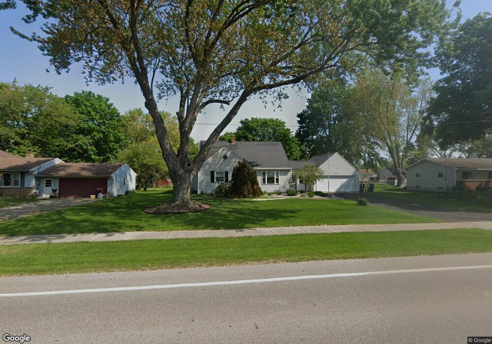
1267 Port Sheldon St Jenison, MI 49428
Estimated Value: $369,000 - $443,000
3
Beds
4
Baths
2,305
Sq Ft
$175/Sq Ft
Est. Value
About This Home
This home is located at 1267 Port Sheldon St, Jenison, MI 49428 and is currently estimated at $403,353, approximately $174 per square foot. 1267 Port Sheldon St is a home located in Ottawa County with nearby schools including Bursley School, Jenison Junior High School, and Jenison High School.
Ownership History
Date
Name
Owned For
Owner Type
Purchase Details
Closed on
Nov 22, 2006
Sold by
Helder Judith L
Bought by
Mcintyre Richard A and Mcintyre Emily L
Current Estimated Value
Home Financials for this Owner
Home Financials are based on the most recent Mortgage that was taken out on this home.
Original Mortgage
$87,500
Outstanding Balance
$52,510
Interest Rate
6.47%
Mortgage Type
Purchase Money Mortgage
Estimated Equity
$350,843
Create a Home Valuation Report for This Property
The Home Valuation Report is an in-depth analysis detailing your home's value as well as a comparison with similar homes in the area
Home Values in the Area
Average Home Value in this Area
Purchase History
| Date | Buyer | Sale Price | Title Company |
|---|---|---|---|
| Mcintyre Richard A | $162,500 | Chicago Title |
Source: Public Records
Mortgage History
| Date | Status | Borrower | Loan Amount |
|---|---|---|---|
| Open | Mcintyre Richard A | $87,500 |
Source: Public Records
Tax History Compared to Growth
Tax History
| Year | Tax Paid | Tax Assessment Tax Assessment Total Assessment is a certain percentage of the fair market value that is determined by local assessors to be the total taxable value of land and additions on the property. | Land | Improvement |
|---|---|---|---|---|
| 2025 | $2,746 | $195,300 | $0 | $0 |
| 2024 | $2,383 | $185,200 | $0 | $0 |
| 2023 | $2,275 | $140,900 | $0 | $0 |
| 2022 | $2,497 | $123,600 | $0 | $0 |
| 2021 | $2,425 | $120,500 | $0 | $0 |
| 2020 | $2,398 | $117,000 | $0 | $0 |
| 2019 | $2,400 | $110,400 | $0 | $0 |
| 2018 | $2,239 | $101,600 | $0 | $0 |
| 2017 | $2,200 | $96,300 | $0 | $0 |
| 2016 | $2,186 | $90,000 | $0 | $0 |
| 2015 | $2,078 | $83,400 | $0 | $0 |
| 2014 | $2,078 | $82,600 | $0 | $0 |
Source: Public Records
Map
Nearby Homes
- 1241 S Marymark Dr
- 6451 12th Ave
- 1306 Carol Dr
- 1361 Carol Dr
- 1433 Winifred St
- 1355 Bent Tree Dr Unit 12
- 950 Brentwood St
- 1643 Laramy Ln
- 1451 Eagle Shore Ct
- 1496 Eagle Shore Ct Unit 13
- 1519 Eagle Shore Ct Unit Lot 33
- 1481 Eagle Shore Ct Unit 39
- 6025 Gleneagle Dr
- 6501 Andre's Crossing Unit 14
- 6516 Andre's Crossing
- 1040 Castlebay Way Unit 19
- 1038 Castlebay Way Unit 18
- 1036 Castlebay Way Unit 17
- 7107 Westwood Dr
- 925 Parsons St SW
- 1287 Port Sheldon St
- 1243 Port Sheldon St
- 1260 S Marymark Dr
- 1274 S Marymark Dr
- 1244 S Marymark Dr
- 1291 Port Sheldon St
- 1258 Port Sheldon St
- 1290 S Marymark Dr
- 1278 Port Sheldon St
- 6571 12th Ave
- 1228 S Marymark Dr
- 1221 Port Sheldon St
- 1306 Port Sheldon St
- 1311 Port Sheldon St
- 1300 S Marymark Dr
- 1212 S Marymark Dr
- 1208 Port Sheldon St
- 1257 S Marymark Dr
- 6540 Fairway Dr
- 6561 12th Ave