1267 Sanders Rd Benson, NC 27504
Pleasant Grove NeighborhoodEstimated Value: $449,000 - $602,000
3
Beds
5
Baths
3,641
Sq Ft
$150/Sq Ft
Est. Value
About This Home
This home is located at 1267 Sanders Rd, Benson, NC 27504 and is currently estimated at $547,333, approximately $150 per square foot. 1267 Sanders Rd is a home located in Johnston County with nearby schools including McGee's Crossroads Elementary School, McGee's Crossroads Middle School, and West Johnston High School.
Ownership History
Date
Name
Owned For
Owner Type
Purchase Details
Closed on
Jun 5, 2020
Sold by
Stephenson Kimberly Sutton and Stephenson John Phillip
Bought by
Neighbors Michael Robert
Current Estimated Value
Home Financials for this Owner
Home Financials are based on the most recent Mortgage that was taken out on this home.
Original Mortgage
$399,000
Outstanding Balance
$354,342
Interest Rate
3.3%
Mortgage Type
New Conventional
Estimated Equity
$192,991
Create a Home Valuation Report for This Property
The Home Valuation Report is an in-depth analysis detailing your home's value as well as a comparison with similar homes in the area
Home Values in the Area
Average Home Value in this Area
Purchase History
| Date | Buyer | Sale Price | Title Company |
|---|---|---|---|
| Neighbors Michael Robert | $420,000 | None Available |
Source: Public Records
Mortgage History
| Date | Status | Borrower | Loan Amount |
|---|---|---|---|
| Open | Neighbors Michael Robert | $399,000 |
Source: Public Records
Tax History Compared to Growth
Tax History
| Year | Tax Paid | Tax Assessment Tax Assessment Total Assessment is a certain percentage of the fair market value that is determined by local assessors to be the total taxable value of land and additions on the property. | Land | Improvement |
|---|---|---|---|---|
| 2025 | $4,303 | $677,680 | $283,990 | $393,690 |
| 2024 | $3,287 | $405,850 | $127,100 | $278,750 |
| 2023 | $3,186 | $405,850 | $127,100 | $278,750 |
| 2022 | $3,287 | $405,850 | $127,100 | $278,750 |
| 2021 | $3,287 | $405,850 | $127,100 | $278,750 |
| 2020 | $2,435 | $289,840 | $72,030 | $217,810 |
| 2019 | $2,260 | $275,610 | $63,200 | $212,410 |
| 2018 | $3,083 | $457,580 | $159,950 | $297,630 |
| 2017 | $3,083 | $457,580 | $159,950 | $297,630 |
| 2016 | $2,080 | $284,180 | $84,600 | $199,580 |
| 2015 | $1,507 | $284,180 | $84,600 | $199,580 |
| 2014 | $1,507 | $179,440 | $37,290 | $142,150 |
Source: Public Records
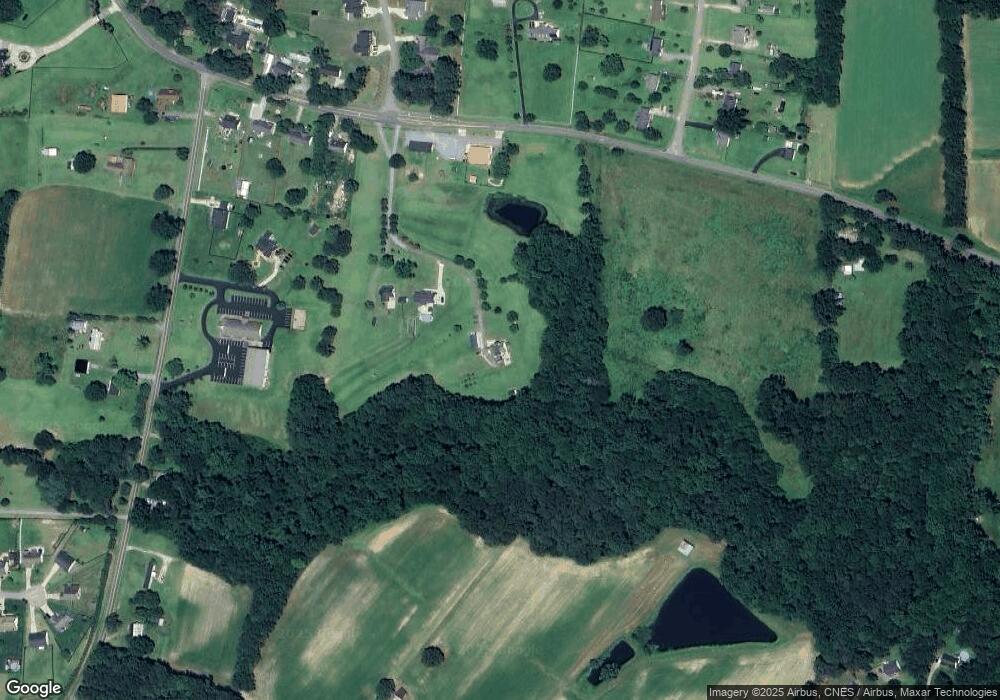
Map
Nearby Homes
- 400 Rose Ct
- 300 Still Meadows Ct
- 687 W Watson Rd
- 268 Busterfield Ct
- 93 Hot Springs Way
- 309 Busterfield Ct
- 142 Hot Springs Way
- 111 Hot Springs Way
- 160 Hot Springs Way
- 180 Hot Springs Way
- 67 Cedarbrook Dr
- 162 Cedarbrook Dr
- 121 Wilmack Dr
- 58 Mineral Springs Way
- 381 Gray Ghost St
- 926 Lazy Branch Dr
- 296 Gordon Farm Dr
- 216 Deep Pool Ct
- 219 Beaver Ridge Way
- 154 Winter Red Way
- 1269 Sanders Rd
- 1235 Sanders Rd
- 1251 Sanders Rd
- 1148 B H Parrish Rd
- 1257 Sanders Rd
- 101 Lansing Dr
- 1311 Sanders Rd
- 1144 B H Parrish Rd
- 1258 Sanders Rd
- 103 Lansing Dr
- 1312 Sanders Rd
- 100 Lansing Dr
- 1190 Sanders Rd
- 1341 Sanders Rd
- 1375 Sanders Rd
- 33 Crystal Springs Way
- 104 Lansing Dr
- 109 Lansing Dr
- 986 B H Parrish Rd
- 1352 Sanders Rd