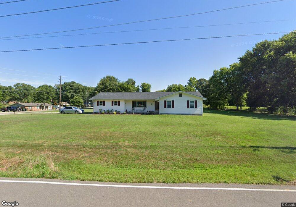
1267 Wall Rd Brownsboro, AL 35741
Moontown NeighborhoodEstimated Value: $156,610 - $244,000
About This Home
This home is located at 1267 Wall Rd, Brownsboro, AL 35741 and is currently estimated at $215,153, approximately $128 per square foot. 1267 Wall Rd is a home with nearby schools including Central School and Madison County High School.
Ownership History
We collect this data history from publicly available records. To have your information removed, we recommend requesting removal directly through your county’s website.
Purchase Details
Purchase Details
Home Financials for this Owner
Home Financials are based on the most recent Mortgage that was taken out on this home.Home Values in the Area
Average Home Value in this Area
Purchase History
We collect this data history from publicly available records. To have your information removed, we recommend requesting removal directly through your county’s website.
| Date | Buyer | Sale Price | Title Company |
|---|---|---|---|
| -- | None Listed On Document | ||
| $60,000 | None Available |
Mortgage History
We collect this data history from publicly available records. To have your information removed, we recommend requesting removal directly through your county’s website.
| Date | Status | Borrower | Loan Amount |
|---|---|---|---|
| Previous Owner | $40,000 |
Tax History
We collect this data history from publicly available records. To have your information removed, we recommend requesting removal directly through your county’s website.
| Year | Tax Paid | Tax Assessment Tax Assessment Total Assessment is a certain percentage of the fair market value that is determined by local assessors to be the total taxable value of land and additions on the property. | Land | Improvement |
|---|---|---|---|---|
| 2025 | $356 | $12,740 | $1,400 | $11,340 |
| 2024 | $347 | $12,440 | $1,400 | $11,040 |
| 2023 | $347 | $12,140 | $1,400 | $10,740 |
| 2022 | $303 | $10,960 | $1,400 | $9,560 |
| 2021 | $271 | $9,920 | $1,400 | $8,520 |
| 2020 | $254 | $9,330 | $1,400 | $7,930 |
| 2019 | $652 | $18,080 | $2,800 | $15,280 |
| 2018 | $0 | $8,480 | $0 | $0 |
| 2017 | $0 | $8,480 | $0 | $0 |
| 2016 | $0 | $8,480 | $0 | $0 |
| 2015 | -- | $8,480 | $0 | $0 |
| 2014 | -- | $8,400 | $0 | $0 |
Map
- 235 Oakland View Dr
- 233 Oakland View Dr
- 229 Oakland View Dr
- 220 Oakland View Dr
- 213 Oakland View Dr
- 126 Lawler Dr
- 1072 Ryland Pike
- 200 Morning Star Dr
- 123 Delta Pine Dr
- 483 Moontown Rd
- 477 Moontown Rd
- 239 Morning Star Dr
- 169 Delta Pine Dr
- 233 Bonaire Dr
- 121 Cooper Dr
- 109 Dolf Leaf Ln
- 395 Ryland Pike NE
- 104 Dolf Leaf Ln
- 1519 Ryland Pike
- 103 Cedar Run Ln
- 1283 Wall Rd
- 891 Moontown Rd
- 910 Moontown Rd
- 900 Moontown Rd
- 1278 Wall Rd
- 881 Moontown Rd
- 1293 Wall Rd
- 1233 Wall Rd
- 871 Moontown Rd
- 886 Moontown Rd
- 101 Moontown Cir
- 102 Moontown Cir
- 1301 Wall Rd
- 937 Moontown Rd
- 113 Foley Rd
- 123 Foley Rd
- 876 Moontown Rd
- 101 Mountain Star Cir
- 1302 Wall Rd
- 129 Foley Rd
Ask me questions while you tour the home.