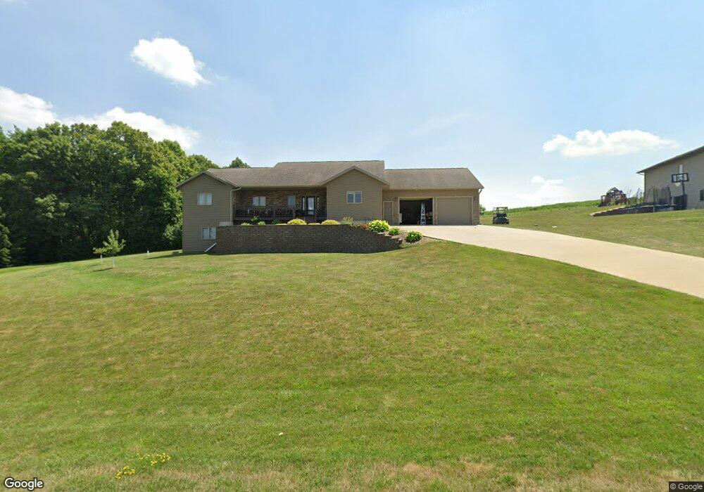
12673 Phillip Dr Caledonia, MN 55921
Estimated Value: $340,000 - $428,000
3
Beds
2
Baths
2,086
Sq Ft
$185/Sq Ft
Est. Value
About This Home
This home is located at 12673 Phillip Dr, Caledonia, MN 55921 and is currently estimated at $385,957, approximately $185 per square foot. 12673 Phillip Dr is a home located in Houston County with nearby schools including Caledonia Elementary School, Caledonia Middle School, and Caledonia Senior High School.
Ownership History
Date
Name
Owned For
Owner Type
Purchase Details
Closed on
Jan 20, 2005
Sold by
Hammell Jed J and Hammell Jamie P
Bought by
Klug Phillip and Klug Stacie
Current Estimated Value
Home Financials for this Owner
Home Financials are based on the most recent Mortgage that was taken out on this home.
Original Mortgage
$31,500
Interest Rate
5.9%
Mortgage Type
Unknown
Create a Home Valuation Report for This Property
The Home Valuation Report is an in-depth analysis detailing your home's value as well as a comparison with similar homes in the area
Home Values in the Area
Average Home Value in this Area
Purchase History
| Date | Buyer | Sale Price | Title Company |
|---|---|---|---|
| Klug Phillip | $35,000 | None Available |
Source: Public Records
Mortgage History
| Date | Status | Borrower | Loan Amount |
|---|---|---|---|
| Closed | Klug Phillip | $31,500 |
Source: Public Records
Tax History
| Year | Tax Paid | Tax Assessment Tax Assessment Total Assessment is a certain percentage of the fair market value that is determined by local assessors to be the total taxable value of land and additions on the property. | Land | Improvement |
|---|---|---|---|---|
| 2025 | $2,976 | $375,500 | $71,900 | $303,600 |
| 2024 | $2,502 | $309,300 | $59,900 | $249,400 |
| 2023 | $2,958 | $250,400 | $27,500 | $222,900 |
| 2022 | $2,796 | $276,600 | $27,500 | $249,100 |
| 2021 | $2,618 | $234,100 | $28,000 | $206,100 |
| 2020 | $2,760 | $224,600 | $28,000 | $196,600 |
| 2019 | $2,762 | $224,600 | $28,000 | $196,600 |
| 2018 | $2,680 | $224,000 | $30,500 | $193,500 |
| 2017 | $2,680 | $196,900 | $27,958 | $168,942 |
| 2016 | $2,626 | $200,100 | $28,000 | $172,100 |
| 2015 | $2,620 | $200,100 | $28,000 | $172,100 |
| 2014 | $2,620 | $191,200 | $25,542 | $165,658 |
Source: Public Records
Map
Nearby Homes
- 12384 Green Acres Dr
- 126 Bissen St
- 418 E Monroe St
- 720 S Badger St
- 103 W South St
- 406 E South St
- 118 W Grove St
- 307 S Winnebago St
- 15497 Meiners Rd
- 115 E Main St
- 307 E Main St
- 309 E Lincoln St
- 217 E Grant St
- 1004 E Main St
- 9354 County Rd 22
- xxx E Twin Ridge Rd
- 9354 County Road 22
- 200 1st St SE
- 8706 State 44
- 8706 State 44 -
- 12731 Phillip Dr
- 12601 Phillip Dr
- 12746 Phillip Dr
- TBD Green Acres Dr
- 12762 Phillip Dr
- 12452 Knoll Wood Rd
- 12452 Knollwood Rd
- 12520 Green Acres Dr
- 12454 Green Acres Dr
- 12775 Phillip Dr
- 12774 Phillip Dr
- 12542 Green Acres Dr
- 12436 Knollwood Rd
- 12435 Green Acres Dr
- 12441 Knollwood Rd
- 12759 Phillip Dr
- 12426 Green Acres Dr
- 12422 Knollwood Rd
- 12429 Knollwood Rd
- 12521 Katrina Dr
Your Personal Tour Guide
Ask me questions while you tour the home.