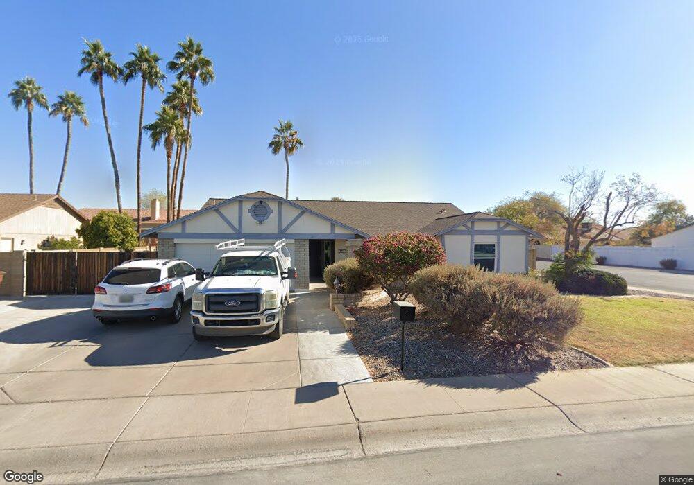
12675 N 73rd Ave Peoria, AZ 85381
Estimated Value: $419,760 - $516,000
--
Bed
2
Baths
2,111
Sq Ft
$228/Sq Ft
Est. Value
About This Home
This home is located at 12675 N 73rd Ave, Peoria, AZ 85381 and is currently estimated at $480,940, approximately $227 per square foot. 12675 N 73rd Ave is a home located in Maricopa County with nearby schools including Oakwood Elementary School, Cactus High School, and Legacy Traditional School - Glendale.
Ownership History
Date
Name
Owned For
Owner Type
Purchase Details
Closed on
Sep 28, 1998
Sold by
Bedore Gerry L and Bedore Linda A
Bought by
Featherstone Robert L and Featherstone Esther C
Current Estimated Value
Home Financials for this Owner
Home Financials are based on the most recent Mortgage that was taken out on this home.
Original Mortgage
$100,900
Outstanding Balance
$21,539
Interest Rate
6.61%
Mortgage Type
New Conventional
Estimated Equity
$459,401
Purchase Details
Closed on
Nov 26, 1997
Sold by
Lundstrom Jonathan L and Lundstrom Cathy J
Bought by
Bedore Gerry L and Bedore Linda A
Home Financials for this Owner
Home Financials are based on the most recent Mortgage that was taken out on this home.
Original Mortgage
$129,850
Interest Rate
7.22%
Mortgage Type
New Conventional
Create a Home Valuation Report for This Property
The Home Valuation Report is an in-depth analysis detailing your home's value as well as a comparison with similar homes in the area
Home Values in the Area
Average Home Value in this Area
Purchase History
| Date | Buyer | Sale Price | Title Company |
|---|---|---|---|
| Featherstone Robert L | $139,900 | Ati Title Agency | |
| Bedore Gerry L | $136,700 | Capital Title Agency |
Source: Public Records
Mortgage History
| Date | Status | Borrower | Loan Amount |
|---|---|---|---|
| Open | Featherstone Robert L | $100,900 | |
| Previous Owner | Bedore Gerry L | $129,850 |
Source: Public Records
Tax History Compared to Growth
Tax History
| Year | Tax Paid | Tax Assessment Tax Assessment Total Assessment is a certain percentage of the fair market value that is determined by local assessors to be the total taxable value of land and additions on the property. | Land | Improvement |
|---|---|---|---|---|
| 2025 | $1,484 | $19,604 | -- | -- |
| 2024 | $1,503 | $18,670 | -- | -- |
| 2023 | $1,503 | $34,070 | $6,810 | $27,260 |
| 2022 | $1,472 | $26,480 | $5,290 | $21,190 |
| 2021 | $1,576 | $24,270 | $4,850 | $19,420 |
| 2020 | $1,591 | $23,850 | $4,770 | $19,080 |
| 2019 | $1,539 | $21,250 | $4,250 | $17,000 |
| 2018 | $1,488 | $19,950 | $3,990 | $15,960 |
| 2017 | $1,489 | $18,700 | $3,740 | $14,960 |
| 2016 | $1,474 | $17,800 | $3,560 | $14,240 |
| 2015 | $1,375 | $17,460 | $3,490 | $13,970 |
Source: Public Records
Map
Nearby Homes
- 7233 W Corrine Dr
- 7220 W Larkspur Dr
- 7214 W Columbine Dr
- 12709 N 72nd Ave
- 7126 W Columbine Dr
- 7418 W Corrine Dr
- 7301 W Sweetwater Ave
- 7191 W Surrey Ave
- 7326 W Pershing Ave
- 13051 N 75th Dr
- 7266 W Cherry Hills Dr
- 7537 W Dreyfus Dr
- 7544 W Dreyfus Dr
- 7157 W Cherry Hills Dr
- 12677 N 77th Dr
- 7638 W Shaw Butte Dr
- 7113 W Sunnyside Dr
- 7126 W Jenan Dr
- 6845 W Charter Oak Rd
- 6849 W Wethersfield Rd
- 12681 N 73rd Ave
- 12670 N 72nd Dr
- 12680 N 72nd Dr
- 12545 N 73rd Ave
- 7302 W Corrine Dr
- 12687 N 73rd Ave
- 12630 N 72nd Dr
- 12690 N 72nd Dr
- 7301 W Windrose Dr
- 12539 N 73rd Ave
- 7301 W Corrine Dr
- 12701 N 73rd Ave
- 7308 W Corrine Dr
- 12620 N 72nd Dr
- 7232 W Corrine Dr
- 12700 N 72nd Dr
- 7307 W Windrose Dr
- 7221 W Windrose Dr
- 7309 W Corrine Dr
- 12533 N 73rd Ave