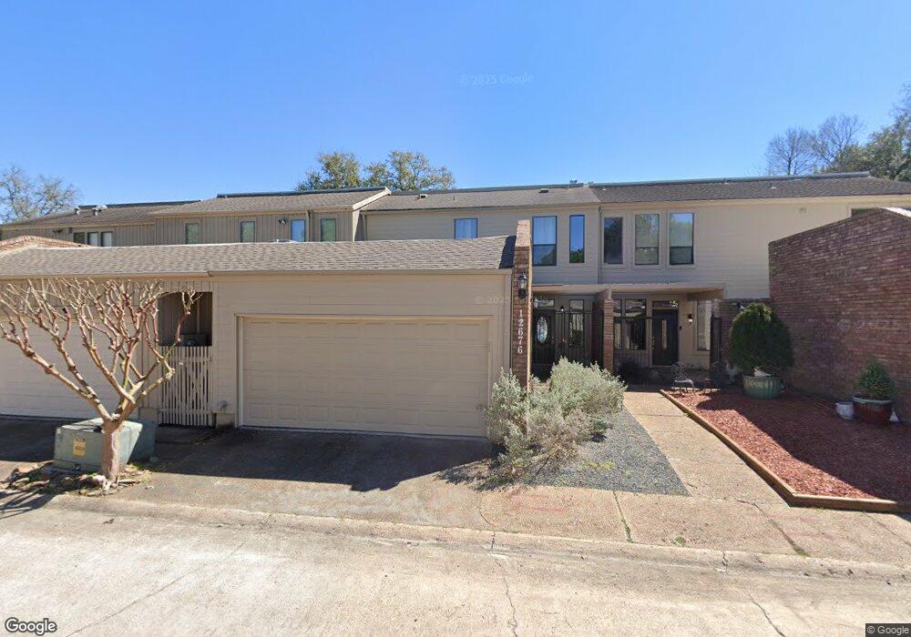
12676 Briar Patch Rd Houston, TX 77077
Energy Corridor NeighborhoodEstimated Value: $262,484 - $309,000
3
Beds
3
Baths
1,706
Sq Ft
$168/Sq Ft
Est. Value
About This Home
This home is located at 12676 Briar Patch Rd, Houston, TX 77077 and is currently estimated at $286,371, approximately $167 per square foot. 12676 Briar Patch Rd is a home located in Harris County with nearby schools including Ray Daily Elementary School, West Briar Middle School, and Westside High School.
Ownership History
Date
Name
Owned For
Owner Type
Purchase Details
Closed on
Jan 17, 2018
Sold by
Lisager John
Bought by
Lisager John and Lisager Tanya
Current Estimated Value
Purchase Details
Closed on
Jun 12, 2017
Sold by
Arnold Steven James
Bought by
Hsager Jon
Purchase Details
Closed on
Sep 17, 1993
Sold by
Iisager Josiane
Bought by
Iisager Josiane
Create a Home Valuation Report for This Property
The Home Valuation Report is an in-depth analysis detailing your home's value as well as a comparison with similar homes in the area
Home Values in the Area
Average Home Value in this Area
Purchase History
| Date | Buyer | Sale Price | Title Company |
|---|---|---|---|
| Lisager John | -- | None Available | |
| Hsager Jon | -- | Stewart Title Houston Div | |
| Iisager Josiane | -- | -- |
Source: Public Records
Tax History Compared to Growth
Tax History
| Year | Tax Paid | Tax Assessment Tax Assessment Total Assessment is a certain percentage of the fair market value that is determined by local assessors to be the total taxable value of land and additions on the property. | Land | Improvement |
|---|---|---|---|---|
| 2025 | $773 | $278,892 | $60,000 | $218,892 |
| 2024 | $773 | $286,368 | $60,000 | $226,368 |
| 2023 | $757 | $286,368 | $60,000 | $226,368 |
| 2022 | $5,412 | $270,000 | $60,000 | $210,000 |
| 2021 | $5,208 | $223,450 | $53,400 | $170,050 |
| 2020 | $5,812 | $246,345 | $53,400 | $192,945 |
| 2019 | $6,132 | $242,330 | $55,800 | $186,530 |
| 2018 | $2,779 | $109,805 | $60,000 | $49,805 |
| 2017 | $4,711 | $186,300 | $60,000 | $126,300 |
| 2016 | $4,697 | $186,300 | $60,000 | $126,300 |
| 2015 | $391 | $168,861 | $60,000 | $108,861 |
| 2014 | $391 | $161,996 | $30,000 | $131,996 |
Source: Public Records
Map
Nearby Homes
- 12636 Briar Patch Rd
- 12620 Briar Patch Rd
- 12691 Briar Patch Rd Unit 5
- 902 Ashford Pkwy
- 12551 Honeywood Trail
- 12979 Kingsbridge Ln
- 12859 Kingsbridge Ln
- 12869 Kingsbridge Ln
- 1513 Beaconshire Rd
- 12929 Kingsbridge Ln
- 14811 Bramblewood Dr
- 12523 Shepherds Ridge Dr
- 14511 Oak Bend Dr
- 12510 Shepherds Ridge Dr
- 1533 Beaconshire Rd
- 12507 Hazelwood Ln
- 12511 Shepherds Ridge Dr
- 14730 Carolcrest Dr
- 12519 Briar Forest Dr
- 1419 Briar Bayou Dr
- 12688 Briar Patch Rd
- 12644 Briar Patch Rd
- 12630 Briar Patch Rd
- 12656 Briar Patch Rd
- 12674 Briar Patch Rd
- 12690 Briar Patch Rd
- 12692 Briar Patch Rd
- 12694 Briar Patch Rd
- 12678 Briar Patch Rd
- 12664 Briar Patch Rd
- 12672 Briar Patch Rd
- 12632 Briar Patch Rd
- 12634 Briar Patch Rd
- 12654 Briar Patch Rd
- 12686 Briar Patch Rd
- 12684 Briar Patch Rd
- 12682 Briar Patch Rd
- 12662 Briar Patch Rd
- 12642 Briar Patch Rd
- 12648 Briar Patch Rd