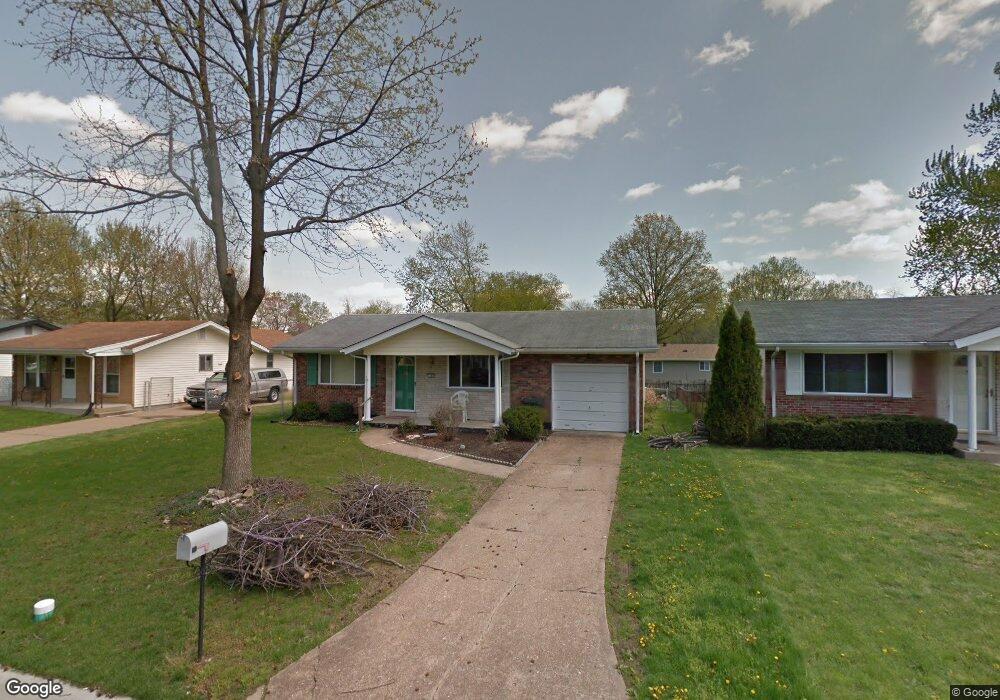
1268 Bal Harbor Dr Arnold, MO 63010
Estimated Value: $203,000 - $214,000
2
Beds
2
Baths
768
Sq Ft
$271/Sq Ft
Est. Value
About This Home
This home is located at 1268 Bal Harbor Dr, Arnold, MO 63010 and is currently estimated at $208,274, approximately $271 per square foot. 1268 Bal Harbor Dr is a home located in Jefferson County with nearby schools including Rockport Heights Elementary School, Fox Middle School, and Fox Senior High School.
Ownership History
Date
Name
Owned For
Owner Type
Purchase Details
Closed on
Dec 2, 2011
Sold by
Egeling Margaret M and Duerr Louise C
Bought by
Weisler Betty J
Current Estimated Value
Home Financials for this Owner
Home Financials are based on the most recent Mortgage that was taken out on this home.
Original Mortgage
$85,476
Outstanding Balance
$59,555
Interest Rate
4.4%
Mortgage Type
FHA
Estimated Equity
$148,719
Create a Home Valuation Report for This Property
The Home Valuation Report is an in-depth analysis detailing your home's value as well as a comparison with similar homes in the area
Home Values in the Area
Average Home Value in this Area
Purchase History
| Date | Buyer | Sale Price | Title Company |
|---|---|---|---|
| Weisler Betty J | -- | None Available |
Source: Public Records
Mortgage History
| Date | Status | Borrower | Loan Amount |
|---|---|---|---|
| Open | Weisler Betty J | $85,476 |
Source: Public Records
Tax History
| Year | Tax Paid | Tax Assessment Tax Assessment Total Assessment is a certain percentage of the fair market value that is determined by local assessors to be the total taxable value of land and additions on the property. | Land | Improvement |
|---|---|---|---|---|
| 2025 | $1,070 | $16,500 | $2,700 | $13,800 |
| 2024 | $1,070 | $15,300 | $2,700 | $12,600 |
| 2023 | $1,070 | $15,300 | $2,700 | $12,600 |
| 2022 | $1,091 | $15,300 | $2,700 | $12,600 |
| 2021 | $1,091 | $15,300 | $2,700 | $12,600 |
| 2020 | $1,015 | $13,500 | $2,300 | $11,200 |
| 2019 | $1,018 | $13,500 | $2,300 | $11,200 |
| 2018 | $1,012 | $13,500 | $2,300 | $11,200 |
| 2017 | $1,027 | $13,500 | $2,300 | $11,200 |
| 2016 | $873 | $12,300 | $2,300 | $10,000 |
Source: Public Records
Map
Nearby Homes
- 1322 Rockwood Forest Dr
- 3018 Nelson Dr
- 722 Sur Vista Dr
- 7600 Fine Rd
- Lot 2 Baeumners Second Subdivision
- 170 Bogey Blvd
- 141 Bogey Blvd
- 4229 Sunny Glen Ct
- 4344 Iron Mountain Bluff
- 7474 Shadow Point Dr
- 7761 Becker Rd
- 0 Unknown Unit 22001740
- 0 Unknown Unit 22071117
- 0 Unknown Unit 22001730
- 0 Unknown Unit 21017758
- 2806 Hazel Dr
- 1261 Moonlight Dr
- 3037 Southoaks Place
- 1258 Arnold Tenbrook Rd
- 1267 Arnold Tenbrook Rd
- 1266 Bal Harbor Dr
- 1272 Bal Harbor Dr
- 1264 Bal Harbor Dr
- 1276 Bal Harbor Dr
- 1275 Ballast Point Dr
- 1267 Ballast Point Dr
- 1269 Bal Harbor Dr
- 1265 Ballast Point Dr
- 1265 Bal Harbor Dr
- 1262 Bal Harbor Dr
- 1277 Ballast Point Dr
- 1273 Bal Harbor Dr
- 1280 Bal Harbor Dr
- 1261 Ballast Point Dr
- 1263 Bal Harbor Dr
- 1277 Bal Harbor Dr
- 1261 Bal Harbor Dr
- 1281 Ballast Point Dr
- 1284 Bal Harbor Dr
- 1259 Ballast Point Dr
Your Personal Tour Guide
Ask me questions while you tour the home.