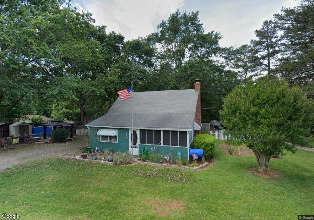
1268 Fernside Dr Toccoa, GA 30577
Estimated Value: $119,000 - $176,000
2
Beds
1
Bath
1,001
Sq Ft
$147/Sq Ft
Est. Value
About This Home
This home is located at 1268 Fernside Dr, Toccoa, GA 30577 and is currently estimated at $147,631, approximately $147 per square foot. 1268 Fernside Dr is a home located in Stephens County with nearby schools including Stephens County High School.
Ownership History
Date
Name
Owned For
Owner Type
Purchase Details
Closed on
Jan 21, 2019
Sold by
Ziemba Nora Ann
Bought by
Hollstein Kelly L and Greer Khristine P
Current Estimated Value
Purchase Details
Closed on
Jan 24, 2011
Sold by
Carter Libby J
Bought by
Shimmon Nadis Ann
Purchase Details
Closed on
Apr 21, 2000
Bought by
Carter Trenton W and Carter Libby J
Purchase Details
Closed on
Nov 1, 1993
Bought by
<Buyer Info Not Present>
Create a Home Valuation Report for This Property
The Home Valuation Report is an in-depth analysis detailing your home's value as well as a comparison with similar homes in the area
Purchase History
| Date | Buyer | Sale Price | Title Company |
|---|---|---|---|
| Hollstein Kelly L | $48,000 | -- | |
| Ziemba Nora Ann | -- | -- | |
| Shimmon Nadis Ann | $28,000 | -- | |
| Carter Trenton W | $25,000 | -- | |
| <Buyer Info Not Present> | $20,000 | -- |
Source: Public Records
Tax History
| Year | Tax Paid | Tax Assessment Tax Assessment Total Assessment is a certain percentage of the fair market value that is determined by local assessors to be the total taxable value of land and additions on the property. | Land | Improvement |
|---|---|---|---|---|
| 2025 | $899 | $39,564 | $4,029 | $35,535 |
| 2024 | $854 | $30,060 | $4,029 | $26,031 |
| 2023 | $854 | $28,671 | $4,029 | $24,642 |
| 2022 | $825 | $27,696 | $4,029 | $23,667 |
| 2021 | $773 | $24,717 | $4,029 | $20,688 |
| 2020 | $794 | $25,153 | $4,029 | $21,124 |
| 2019 | $587 | $18,511 | $4,029 | $14,482 |
| 2018 | $319 | $10,063 | $4,029 | $6,034 |
| 2017 | $324 | $10,063 | $4,029 | $6,034 |
| 2016 | $319 | $10,063 | $4,029 | $6,034 |
| 2015 | $314 | $9,464 | $4,029 | $5,435 |
| 2014 | $320 | $9,465 | $4,029 | $5,436 |
| 2013 | -- | $9,464 | $4,029 | $5,435 |
Source: Public Records
Map
Nearby Homes
- 297 Ayers Creek Dr
- 327 Ayers Creek Dr
- 110 Valley Rd
- 0 E Currahee St Unit 10544607
- 148 Moreland Dr
- 0 Brookhaven Cir Unit 10616964
- 151 Rock Creek Rd
- 389 Skyline Dr
- 668 Brookdale Rd
- 0 Hwy 17 Alt Unit 10577119
- 43 Sycamore Dr
- 0 Stephen Dr Unit 10662201
- 337 Rock Creek Rd
- 122 King St
- 45 Hayes St
- 229 Hilltop Ln
- 27 Hilltop Ln
- 29 Mountain View Dr
- 43 Mountain View Dr
- 0 Hillendale Dr Unit 7660500
- 1292 Fernside Dr
- 37 Ayers Creek Dr
- 55 (LOT 7) CRAB Ayers Creek Dr
- 327 (LOT 23) Ayers Creek Dr
- 1281 Fernside Dr
- 5762 Fernside Dr
- 1315 Fernside Dr
- 0 Fernside Dr Unit 8429010
- 0 Fernside Dr Unit 8422564
- 0 Fernside Dr Unit TR 4 2647742
- 0 Fernside Dr Unit TRACT 7 3265794
- 0 Fernside Dr Unit 7093842
- 0 Fernside Dr Unit TR 7 7133939
- 0 Fernside Dr Unit 7231405
- 0 Fernside Dr Unit 20111526
- 0 Fernside Dr Unit 10059245
- 0 Fernside Dr Unit 4 7549304
- 52 Boulder Dr Unit 36582949
- 52 Boulder Dr Unit 36582948
- 52 Boulder Dr Unit 36582950
Your Personal Tour Guide
Ask me questions while you tour the home.