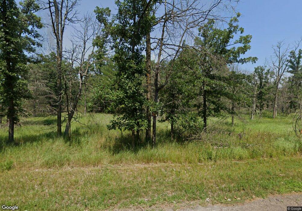
1268 State Rd 13 Friendship, WI 53934
Estimated Value: $170,000 - $217,000
--
Bed
1
Bath
--
Sq Ft
1.07
Acres
About This Home
This home is located at 1268 State Rd 13, Friendship, WI 53934 and is currently estimated at $193,332. 1268 State Rd 13 is a home located in Adams County with nearby schools including Adams-Friendship High School.
Ownership History
Date
Name
Owned For
Owner Type
Purchase Details
Closed on
Jun 19, 2019
Sold by
Nelson Ardis L
Bought by
Sullivan Daniel G
Current Estimated Value
Home Financials for this Owner
Home Financials are based on the most recent Mortgage that was taken out on this home.
Interest Rate
3.84%
Purchase Details
Closed on
Jun 6, 2014
Sold by
Czysz Eugene D
Bought by
Nelson Ardis L and Nelson Sharon R
Purchase Details
Closed on
Dec 4, 2006
Sold by
Czysz Marcella R
Bought by
Czysz Eugene D
Create a Home Valuation Report for This Property
The Home Valuation Report is an in-depth analysis detailing your home's value as well as a comparison with similar homes in the area
Home Values in the Area
Average Home Value in this Area
Purchase History
| Date | Buyer | Sale Price | Title Company |
|---|---|---|---|
| Sullivan Daniel G | $90,000 | -- | |
| Nelson Ardis L | $55,000 | -- | |
| Czysz Eugene D | $34,800 | -- |
Source: Public Records
Mortgage History
| Date | Status | Borrower | Loan Amount |
|---|---|---|---|
| Closed | Sullivan Daniel G | -- | |
| Closed | Czysz Eugene D | $0 |
Source: Public Records
Tax History Compared to Growth
Tax History
| Year | Tax Paid | Tax Assessment Tax Assessment Total Assessment is a certain percentage of the fair market value that is determined by local assessors to be the total taxable value of land and additions on the property. | Land | Improvement |
|---|---|---|---|---|
| 2024 | $1,525 | $76,700 | $9,600 | $67,100 |
| 2023 | $1,354 | $76,700 | $9,600 | $67,100 |
| 2022 | $1,245 | $76,700 | $9,600 | $67,100 |
| 2021 | $1,215 | $76,700 | $9,600 | $67,100 |
| 2020 | $1,563 | $76,700 | $9,600 | $67,100 |
| 2019 | $1,089 | $73,600 | $9,600 | $64,000 |
| 2018 | $1,096 | $73,600 | $9,600 | $64,000 |
| 2017 | $1,109 | $73,600 | $9,600 | $64,000 |
| 2016 | $1,129 | $73,600 | $9,600 | $64,000 |
| 2015 | $1,219 | $73,600 | $9,600 | $64,000 |
| 2014 | $1,219 | $73,600 | $9,600 | $64,000 |
| 2013 | $1,219 | $73,600 | $9,600 | $64,000 |
Source: Public Records
Map
Nearby Homes
- 1269 State Road 13 Hwy
- 1332 11th Dr
- 1078 Chicago Ln
- 1088 S Chicago Ln
- 1152 Chicago Ln
- 1160 Chicago Ln
- 1337 Chicago Ct
- 1163 Chicago Ln
- 1162 Cottonville Ave
- 1388 W 13th Ave
- 80 AC 13th Ave S Acres
- 1353 Chicago Dr
- Lt3 13th Dr
- Lt4 13th Dr
- 80 AC 14th Ct Acres
- 1068 10th Ave
- xxxx 11th Ave
- 1228 15th Ave
- 1128 County Road C
- 1444 Browndeer Ave
- 1268 State Highway 13
- 1274 State Highway 13
- 1266 State Highway 13
- 1232 State Highway 13
- 1267 State Highway 13
- 1269 State Highway 13
- 1271 State Highway 13
- 1261 State Highway 13
- 1258 State Highway 13
- 1287 State Highway 13
- 1286 State Highway 13
- 1253 State Highway 13
- 1272 State Highway 13
- 1272 State Highway 13
- 1270 State Road 13
- 1270 State Highway 13
- 1141 S Buttercup Ct Unit A
- 1141 S Buttercup Ct
- 1242 State Highway 13
- 1143 S Buttercup Ct