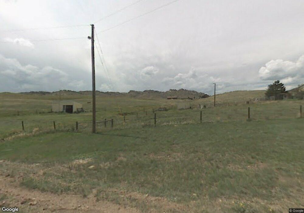
1268 Tomahawk Rd Cheyenne, WY 82009
Estimated Value: $340,446 - $545,000
--
Bed
--
Bath
1,400
Sq Ft
$330/Sq Ft
Est. Value
About This Home
This home is located at 1268 Tomahawk Rd, Cheyenne, WY 82009 and is currently estimated at $462,482, approximately $330 per square foot. 1268 Tomahawk Rd is a home located in Laramie County with nearby schools including Gilchrist Elementary School, McCormick Junior High School, and Central High School.
Ownership History
Date
Name
Owned For
Owner Type
Purchase Details
Closed on
Mar 1, 2004
Sold by
Pafford William R
Bought by
Radican Michael J and Radican Auronita C
Current Estimated Value
Home Financials for this Owner
Home Financials are based on the most recent Mortgage that was taken out on this home.
Original Mortgage
$132,000
Interest Rate
5.65%
Mortgage Type
Balloon
Create a Home Valuation Report for This Property
The Home Valuation Report is an in-depth analysis detailing your home's value as well as a comparison with similar homes in the area
Home Values in the Area
Average Home Value in this Area
Purchase History
| Date | Buyer | Sale Price | Title Company |
|---|---|---|---|
| Radican Michael J | -- | -- |
Source: Public Records
Mortgage History
| Date | Status | Borrower | Loan Amount |
|---|---|---|---|
| Closed | Radican Michael J | $132,000 |
Source: Public Records
Tax History Compared to Growth
Tax History
| Year | Tax Paid | Tax Assessment Tax Assessment Total Assessment is a certain percentage of the fair market value that is determined by local assessors to be the total taxable value of land and additions on the property. | Land | Improvement |
|---|---|---|---|---|
| 2025 | $1,379 | $16,017 | $6,444 | $9,573 |
| 2024 | $1,379 | $20,525 | $8,261 | $12,264 |
| 2023 | $1,779 | $27,074 | $8,261 | $18,813 |
| 2022 | $1,573 | $23,408 | $8,261 | $15,147 |
| 2021 | $1,494 | $22,184 | $6,611 | $15,573 |
| 2020 | $1,332 | $19,842 | $6,290 | $13,552 |
| 2019 | $1,309 | $19,480 | $6,290 | $13,190 |
| 2018 | $1,270 | $19,091 | $6,290 | $12,801 |
| 2017 | $1,241 | $18,468 | $6,290 | $12,178 |
| 2016 | $1,197 | $17,813 | $5,916 | $11,897 |
| 2015 | $1,199 | $17,828 | $5,916 | $11,912 |
| 2014 | $1,152 | $17,023 | $5,226 | $11,797 |
Source: Public Records
Map
Nearby Homes
- Tr 10 Tomahawk Rd
- Tract 29 Latigo Loop
- 759 Crow Creek Rd
- 475 Road 210
- 1191 Granite Springs Rd
- 1483 Gilchrist Rd
- 1191 Granite Springs Unit 85
- 1191 Granite Springs Unit 37
- 1191 Granite Springs Unit 42
- 879 S Table Mtn Loop
- 1023 Cottontail Dr
- 289 Shadow Dr
- LOT 84 Wagon Trail Dr
- 254 Rocky Rd
- 248 Rocky Rd
- 188 Road 210
- 1102 Dusty Rd
- 1100 Brundage Rd
- 1113 Indiana Rd
- 1709 Shadow Valley Rd