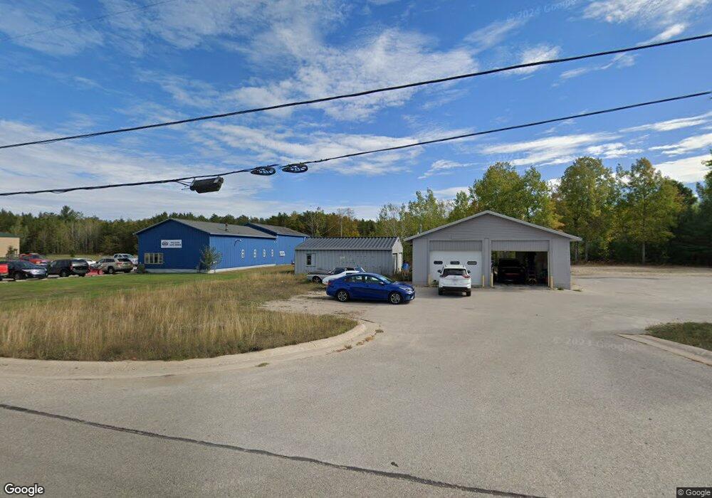
1268 U S 31 Pellston, MI 49769
Estimated Value: $159,511
Studio
--
Bath
2,000
Sq Ft
$80/Sq Ft
Est. Value
About This Home
This home is located at 1268 U S 31, Pellston, MI 49769 and is currently estimated at $159,511, approximately $79 per square foot. 1268 U S 31 is a home located in Emmet County with nearby schools including Pellston Elementary School and Pellston Middle/High School.
Ownership History
Date
Name
Owned For
Owner Type
Purchase Details
Closed on
Jun 20, 2025
Sold by
Emmet County Treasurer
Bought by
D & R Enterprises Llc
Current Estimated Value
Purchase Details
Closed on
Mar 1, 2025
Sold by
D & R Enterprises Llc
Bought by
Emmet County Treasurer
Purchase Details
Closed on
Apr 5, 2023
Sold by
Emmet County Treasurer
Bought by
D & R Enterprises Llc
Purchase Details
Closed on
Mar 1, 2023
Sold by
D & R Enterprises Llc
Bought by
Emmet County Treasurer
Purchase Details
Closed on
Dec 1, 1986
Bought by
Trav City Leas-Split Rps
Create a Home Valuation Report for This Property
The Home Valuation Report is an in-depth analysis detailing your home's value as well as a comparison with similar homes in the area
Purchase History
| Date | Buyer | Sale Price | Title Company |
|---|---|---|---|
| D & R Enterprises Llc | $3,095 | -- | |
| Emmet County Treasurer | $2,997 | -- | |
| D & R Enterprises Llc | $3,056 | -- | |
| Emmet County Treasurer | $3,056 | -- | |
| Trav City Leas-Split Rps | $20,000 | -- |
Source: Public Records
Tax History
| Year | Tax Paid | Tax Assessment Tax Assessment Total Assessment is a certain percentage of the fair market value that is determined by local assessors to be the total taxable value of land and additions on the property. | Land | Improvement |
|---|---|---|---|---|
| 2025 | $2,188 | $67,700 | $14,300 | $53,400 |
| 2024 | $38 | $59,700 | $14,300 | $45,400 |
| 2023 | $2,025 | $54,700 | $13,000 | $41,700 |
| 2022 | $2,025 | $49,200 | $49,200 | $0 |
| 2021 | $2,137 | $49,200 | $49,200 | $0 |
| 2020 | $2,164 | $49,200 | $49,200 | $0 |
| 2019 | -- | $49,100 | $49,100 | $0 |
| 2018 | -- | $48,700 | $48,700 | $0 |
| 2017 | -- | $48,700 | $48,700 | $0 |
| 2016 | -- | $48,700 | $48,700 | $0 |
| 2015 | -- | $48,200 | $0 | $0 |
| 2014 | -- | $48,900 | $0 | $0 |
Source: Public Records
Map
Nearby Homes
- 6421 Airport Crossing Rd Unit 1
- 6457 State St
- TBD Teal Rd
- 8959 Robinson Rd
- 8016 Silver Strand Rd
- 11115 Douglas Lake Rd
- 6105 U S 31
- 10999 Koepke Rd
- 10222 W Munro Lake Dr
- 4333 U S 31
- 5100 N Bay Way
- 8586 N Us 31
- 1830 Indian Point Rd
- 1975 &1995 Club House Dr
- 1975 + 1995 Club House Dr
- 1442 Indian Point Rd
- 6167 Lambert Dr
- 3955 S Pleasantview Rd Unit 6
- 1253 Walkabout Ln
- 5441 Valley Rd
- 1290 N Us-31
- 1290 U S 31
- 1262 U S 31
- 1302 N Us Highway 31
- 1302 N Us Highway 31
- 1302 U S 31
- 1208 N Us 31 Hwy
- 1208 U S 31 Unit 4.5 acres
- 1208 U S 31
- 1208 N Us Highway 31
- 1204 N Us 31 Hwy
- 1388 U S 31 Unit 2.6 ACRES
- 1388 U S 31
- 1388 N Us Highway 31
- 1388 N Us Highway 31
- 1200 N Us Highway 31
- 1120 N Us Highway 31
- 1120 U S 31
- 1120 N Us-31
- 1410 U S 31
Your Personal Tour Guide
Ask me questions while you tour the home.