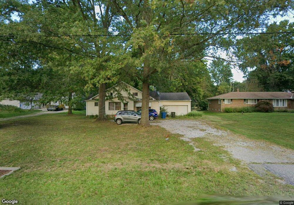
12683 Station Rd Columbia Station, OH 44028
Estimated Value: $257,000 - $290,000
3
Beds
1
Bath
1,914
Sq Ft
$140/Sq Ft
Est. Value
About This Home
This home is located at 12683 Station Rd, Columbia Station, OH 44028 and is currently estimated at $267,893, approximately $139 per square foot. 12683 Station Rd is a home located in Lorain County with nearby schools including Copopa Elementary School, Columbia Middle School, and Columbia High School.
Ownership History
Date
Name
Owned For
Owner Type
Purchase Details
Closed on
Mar 6, 2007
Sold by
Davies Cheryl J and Davies Jack A
Bought by
Davies Cheryl J
Current Estimated Value
Home Financials for this Owner
Home Financials are based on the most recent Mortgage that was taken out on this home.
Original Mortgage
$44,000
Outstanding Balance
$26,662
Interest Rate
6.28%
Mortgage Type
Purchase Money Mortgage
Estimated Equity
$241,231
Purchase Details
Closed on
Oct 2, 2006
Sold by
Estate Of Wendell C Wade
Bought by
Davies Cheryl and Jefferies Karen
Purchase Details
Closed on
Sep 8, 2005
Sold by
Estate Of Marilyn Wade
Bought by
Wade Wendell C
Create a Home Valuation Report for This Property
The Home Valuation Report is an in-depth analysis detailing your home's value as well as a comparison with similar homes in the area
Home Values in the Area
Average Home Value in this Area
Purchase History
| Date | Buyer | Sale Price | Title Company |
|---|---|---|---|
| Davies Cheryl J | $90,000 | Firstmerit Title Agency | |
| Davies Cheryl | -- | None Available | |
| Wade Wendell C | -- | -- |
Source: Public Records
Mortgage History
| Date | Status | Borrower | Loan Amount |
|---|---|---|---|
| Open | Davies Cheryl J | $44,000 |
Source: Public Records
Tax History Compared to Growth
Tax History
| Year | Tax Paid | Tax Assessment Tax Assessment Total Assessment is a certain percentage of the fair market value that is determined by local assessors to be the total taxable value of land and additions on the property. | Land | Improvement |
|---|---|---|---|---|
| 2024 | $3,063 | $68,499 | $17,518 | $50,981 |
| 2023 | $2,422 | $47,142 | $15,491 | $31,651 |
| 2022 | $2,366 | $47,142 | $15,491 | $31,651 |
| 2021 | $2,389 | $47,142 | $15,491 | $31,651 |
| 2020 | $2,309 | $40,890 | $13,440 | $27,450 |
| 2019 | $2,296 | $40,890 | $13,440 | $27,450 |
| 2018 | $2,259 | $40,890 | $13,440 | $27,450 |
| 2017 | $2,440 | $41,050 | $13,390 | $27,660 |
| 2016 | $2,457 | $41,050 | $13,390 | $27,660 |
| 2015 | $2,457 | $41,050 | $13,390 | $27,660 |
| 2014 | $2,465 | $41,050 | $13,390 | $27,660 |
| 2013 | $2,475 | $41,050 | $13,390 | $27,660 |
Source: Public Records
Map
Nearby Homes
- 26201 Nichols Rd
- 25914 Nichols Rd
- 11834 W River Rd
- 23926 W Rim Dr
- 1019 Viewpoint Ct
- 1020 Ashford Ct
- 23855 W Rim Dr
- 24980 Copopa Trail
- 9783 Burts Way
- 24848 River Glen Dr
- 33700 Henwell Rd
- 9966 Ethan Dr
- 33997 Abercorn Place
- 9954 Ethan Dr
- 0 Sprague Rd
- 0 E River Rd Unit 5120285
- 9425 Ravinia Dr
- 26724 Lake of the Falls Blvd
- 26739 Lake of the Falls Blvd
- 27385 Capel Rd
- 12711 Station Rd
- 12651 Station Rd
- 12757 Station Rd
- 12627 Station Rd
- 12656 Station Rd
- 12583 Station Rd
- 12620 Station Rd
- 12694 Station Rd
- 12819 Station Rd
- 12841 Station Rd
- 12533 Station Rd
- 12556 Station Rd
- 12865 Station Rd
- 12501 Station Rd
- 12800 Station Rd
- 12858 Station Rd
- 12471 Station Rd
- 12549 Station Rd
- 12503 Station Rd
- 12503 Station Rd