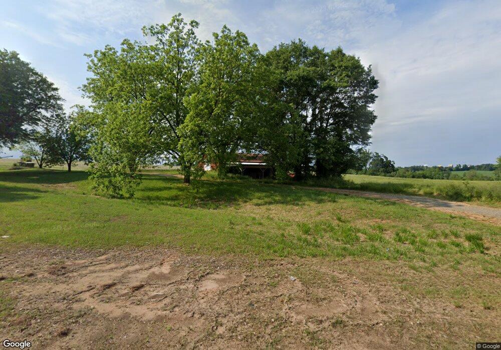
12684 Highway 59 Carnesville, GA 30521
Estimated Value: $324,000 - $2,101,000
2
Beds
1
Bath
1,200
Sq Ft
$1,157/Sq Ft
Est. Value
About This Home
This home is located at 12684 Highway 59, Carnesville, GA 30521 and is currently estimated at $1,388,167, approximately $1,156 per square foot. 12684 Highway 59 is a home with nearby schools including Franklin County High School.
Ownership History
Date
Name
Owned For
Owner Type
Purchase Details
Closed on
Mar 27, 2018
Sold by
Davis Glenn
Bought by
Phillip Dean J and Phillip Cindy R
Current Estimated Value
Purchase Details
Closed on
Dec 30, 2016
Bought by
Davis Glenn
Purchase Details
Closed on
Mar 5, 2014
Sold by
Aggeorgia Farm Cr
Bought by
Equity Trust Co Custodian Fbo
Purchase Details
Closed on
Dec 18, 2013
Sold by
Hart Mary Ruth
Bought by
Aggeorgia Farm Cr
Purchase Details
Closed on
Oct 26, 1998
Bought by
Hart Mary R
Purchase Details
Closed on
May 13, 1997
Bought by
Hart Mary R
Purchase Details
Closed on
Apr 29, 1996
Bought by
Hart Mary R
Create a Home Valuation Report for This Property
The Home Valuation Report is an in-depth analysis detailing your home's value as well as a comparison with similar homes in the area
Home Values in the Area
Average Home Value in this Area
Purchase History
| Date | Buyer | Sale Price | Title Company |
|---|---|---|---|
| Phillip Dean J | -- | -- | |
| Davis Glenn | -- | -- | |
| Equity Trust Co Custodian Fbo | $813,757 | -- | |
| Aggeorgia Farm Cr | -- | -- | |
| Hart Mary R | $180,700 | -- | |
| Hart Mary R | -- | -- | |
| Hart Mary R | -- | -- |
Source: Public Records
Tax History Compared to Growth
Tax History
| Year | Tax Paid | Tax Assessment Tax Assessment Total Assessment is a certain percentage of the fair market value that is determined by local assessors to be the total taxable value of land and additions on the property. | Land | Improvement |
|---|---|---|---|---|
| 2024 | $3,201 | $493,759 | $463,481 | $30,278 |
| 2023 | $3,327 | $449,225 | $421,343 | $27,882 |
| 2022 | $3,186 | $352,599 | $326,920 | $25,679 |
| 2021 | $3,246 | $349,840 | $326,920 | $22,920 |
| 2020 | $3,069 | $290,690 | $272,434 | $18,256 |
| 2019 | $2,904 | $290,690 | $272,434 | $18,256 |
| 2018 | $0 | $300,660 | $284,795 | $15,865 |
| 2017 | $2,813 | $300,660 | $284,795 | $15,865 |
| 2016 | $2,820 | $298,984 | $284,795 | $14,189 |
| 2015 | -- | $298,983 | $0 | $0 |
| 2014 | -- | $276,747 | $276,347 | $400 |
| 2013 | -- | $276,747 | $276,347 | $400 |
Source: Public Records
Map
Nearby Homes
- 00 Hall Carson Rd
- 0 Baty Rd Unit 10562917
- 380 Thomas Rd
- 228 Franklin Hills Dr
- 228 Franklin Hills Dr Unit B14
- 0 Turkey Creek Rd Unit 10589237
- 2556 Turkey Creek Rd
- 10170 Lavonia Rd
- 0 Manley St Unit 10611784
- 308 Idle Acres Ln
- 735 Bowersville Rd
- 807 Sewell Rd
- 7690 Royston Rd
- 110 Telford Rd
- 152 Sewell Rd
- 210 Nora Moss Ln
- 1845 Old Stagecoach Rd
- 86 Sewell
- 62 Sewell Rd
- 40 Sewell Rd
- 12811 Highway 59
- 0 Highway 59 & I I85 Unit 8988887
- 12481 Highway 59
- 12481 Highway 59
- 585 Baty Rd
- 296 One Mile Ln
- 611 One Mile Ln
- 679 One Mile Ln
- 10664 Highway 106
- 190 One Mile Ln
- 839 One Mile Ln
- 839 One Mile Ln
- 1130 One Mile Ln
- 100 One Mile Ln
- 700 Baty Rd
- 0 Turkey Creek Tract 2a Rd Unit 10322176
- 0 Turkey Creek Tract 2c Rd Unit 10449450
- 0 Turkey Creek Tract 2b Rd Unit 10449428
- 000 Turkey Creek Tract 2a Rd
- 13511 Highway 59